The photos on this page were taken by Bob and by Alan. More of the photographic work by Alan can be accessed at http://www.raise-your-energy.com/. Day by day narrative and photos follow these favorites. The photos have been cropped and/or re-sized to fit on the page. For many of the photos, you can click on the photo to bring up the original uncropped, full resolution photo (and then click on that to zoom in).
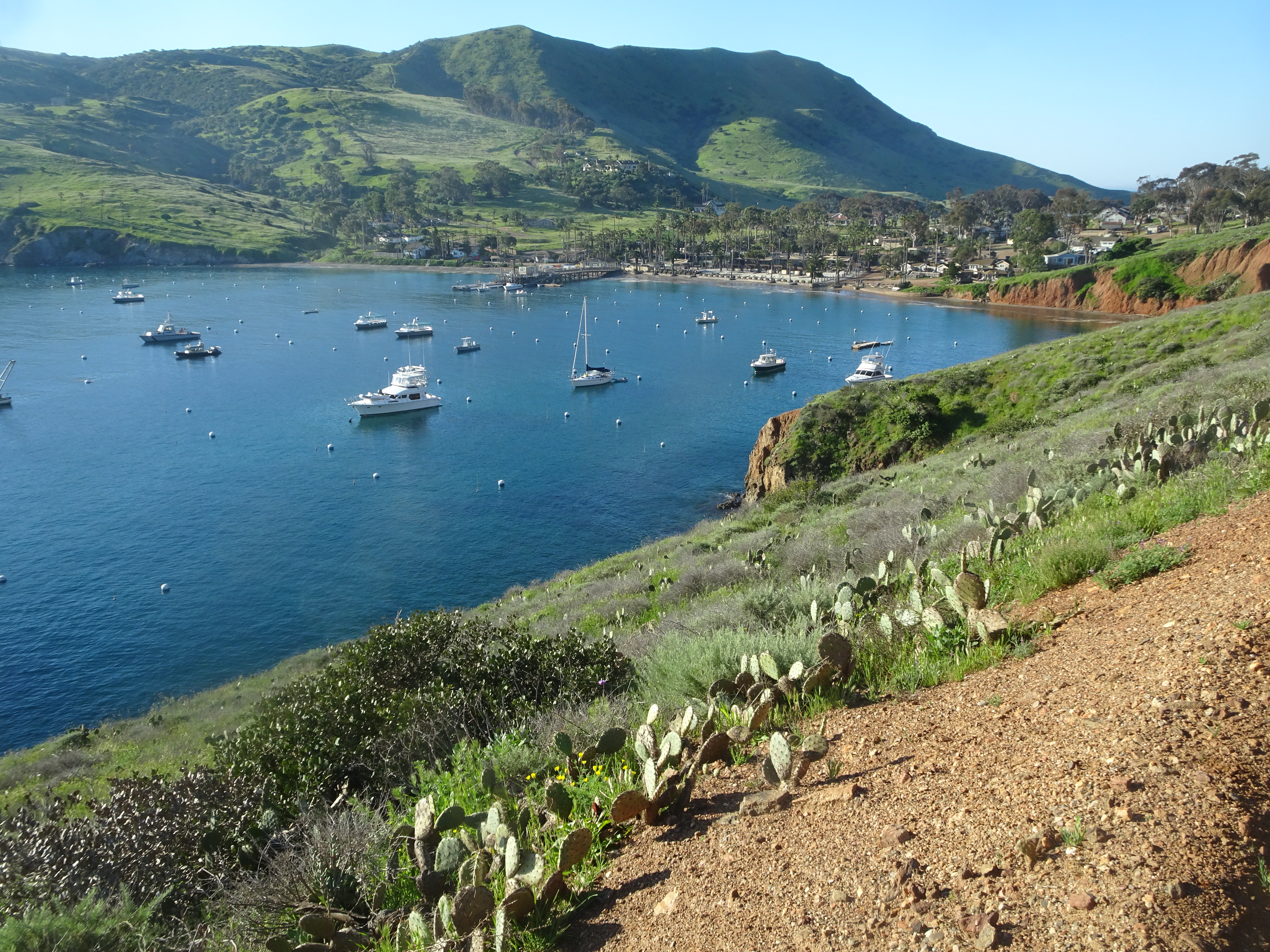
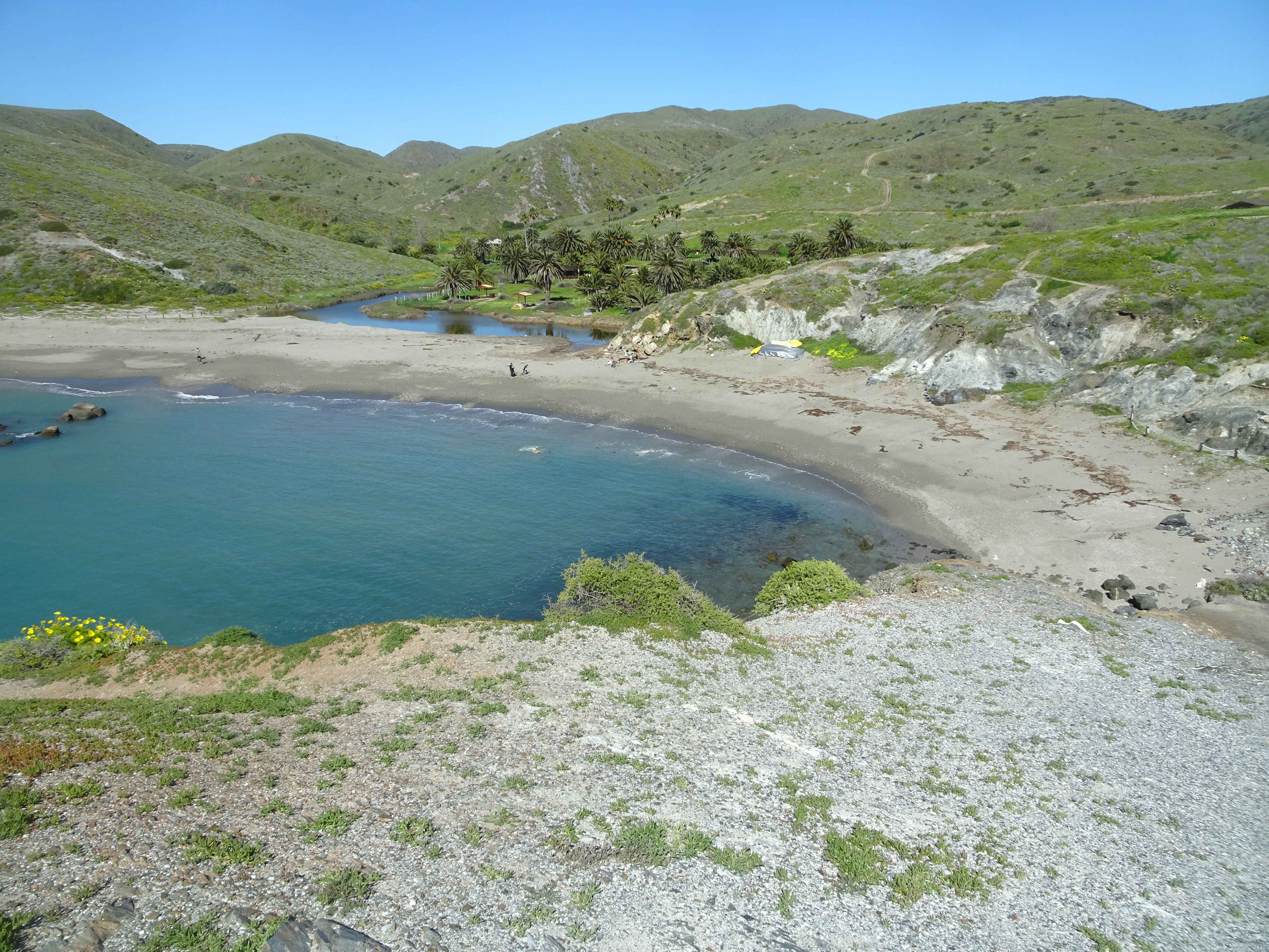
The first photo is taken of Two Harbors at the end of our backpacking.
|
 |
Video suggestion: All videos shown below are very short and HD (1080p).
Bob drove to Long Beach from Santa Rosa, California, while Alan drove there from Surprise, Arizona. Bob learned that leaving Santa Rosa at 6:15 am, during rush hour for the San Francisco Bay Area, was a mistake that was compounded by arriving in the Los Angeles area during its rush hour. Also, Bob had to make an unexpected stop in Berkeley having found no "Rest Areas". Another unplanned stop came about because Bob did not realize how long hwy 405 was, so thought he must have missed a turn and stopped at a gas station to find out there was no problem. All in all though it was an easy trip.
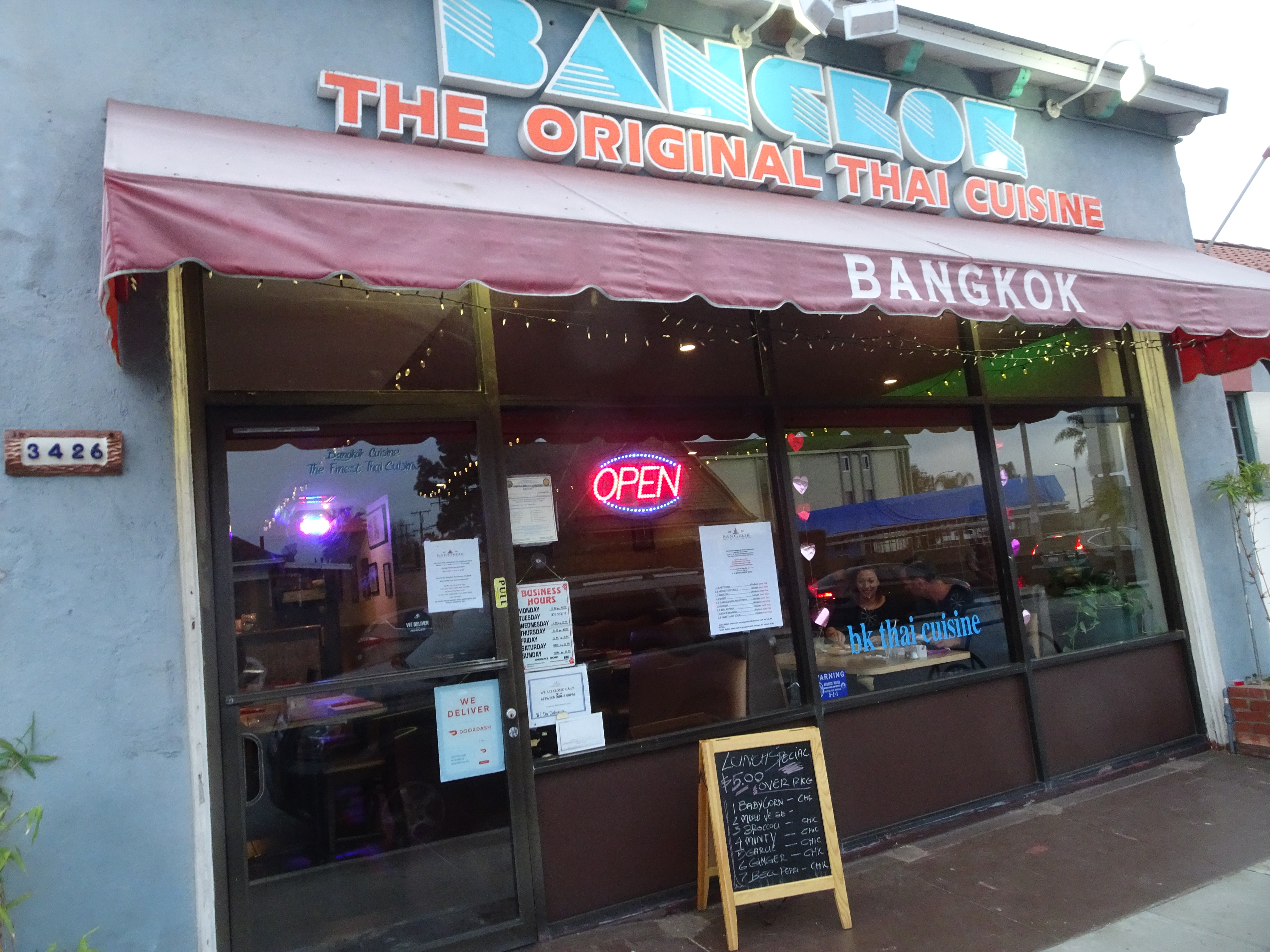
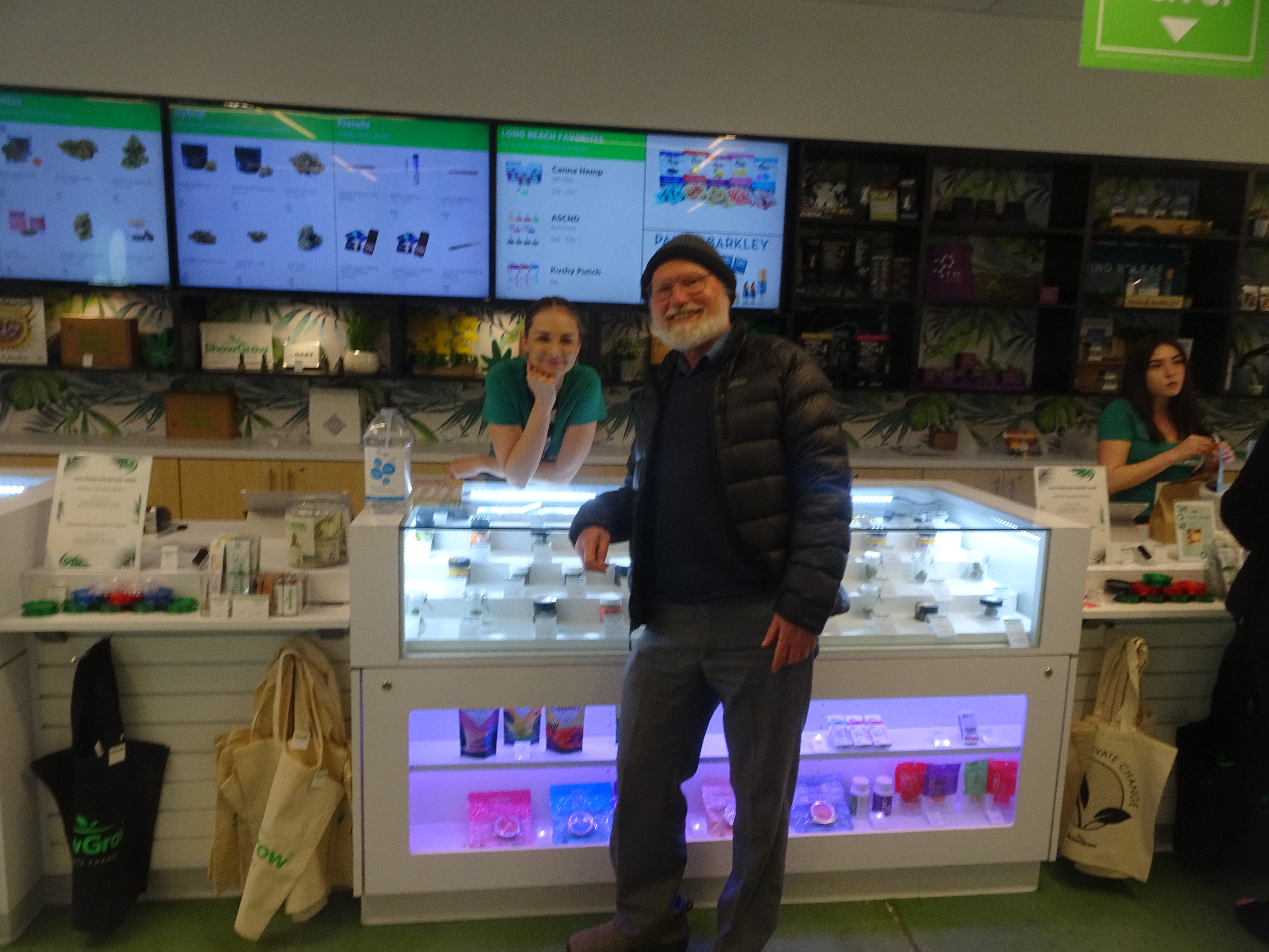
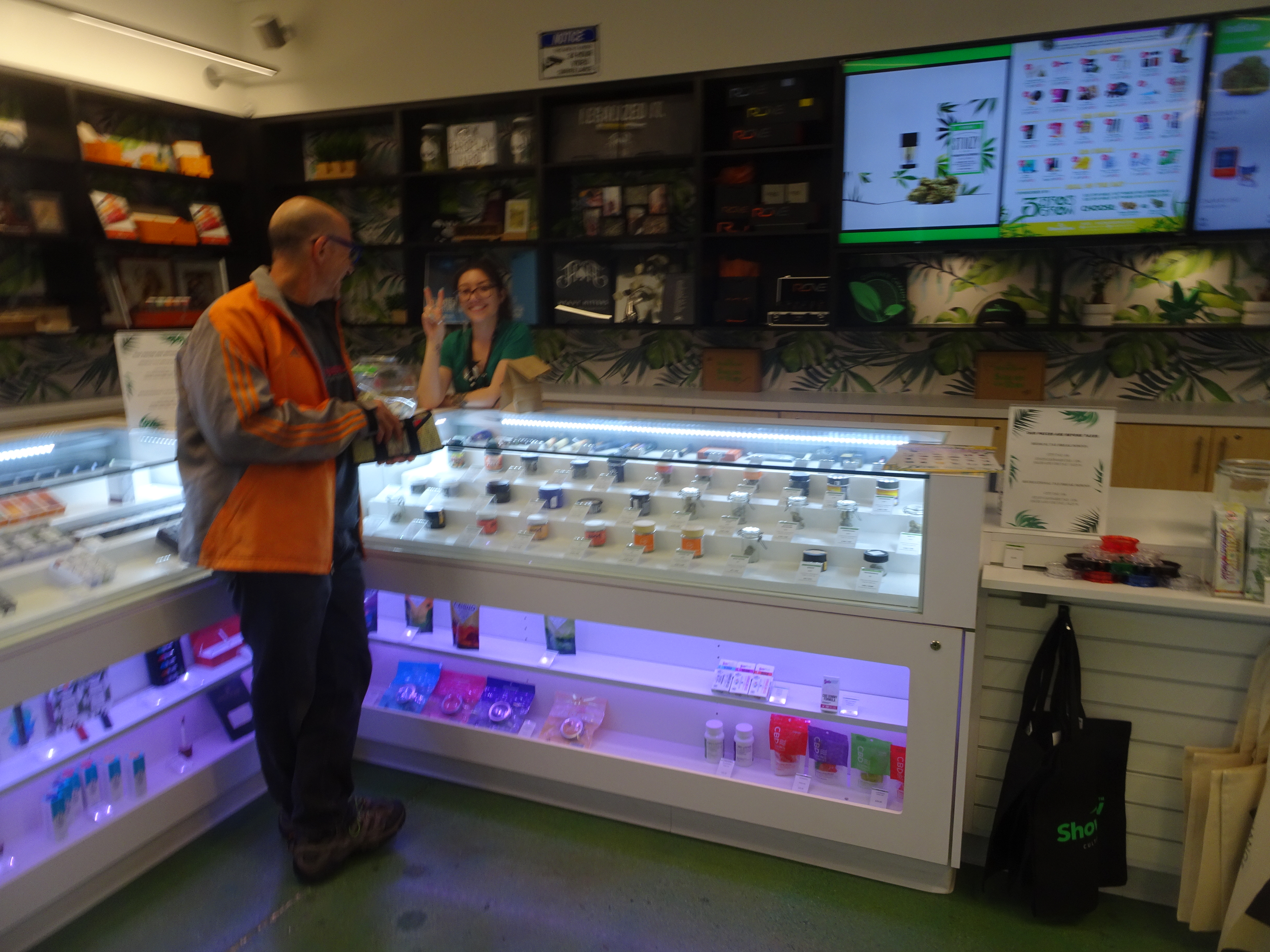
Bob and Alan met at the Inn of Long Beach, checked into the room, and decided on two goals: a Thai dinner and brownies (recreational marijuana is legal in California!). We ate at the Bangkok Thai Restaurant. This seemed particularly appropriate because this trip was in preparation for a trip to come that would include a stop in Bangkok, Thailand.
 |
 |
At the brownie store Bob was advised to eat only 1/2 a brownie out of the bag, given that the last time he had one was in the 1970's. Testing later at the hotel showed that two brownies at once had only a mild effect of a bit of dizziness for Bob. Alan's reaction was much stronger and one brownie was sufficient. All brownies were gone by the end of the backpacking.
 |
 |
Today's video:
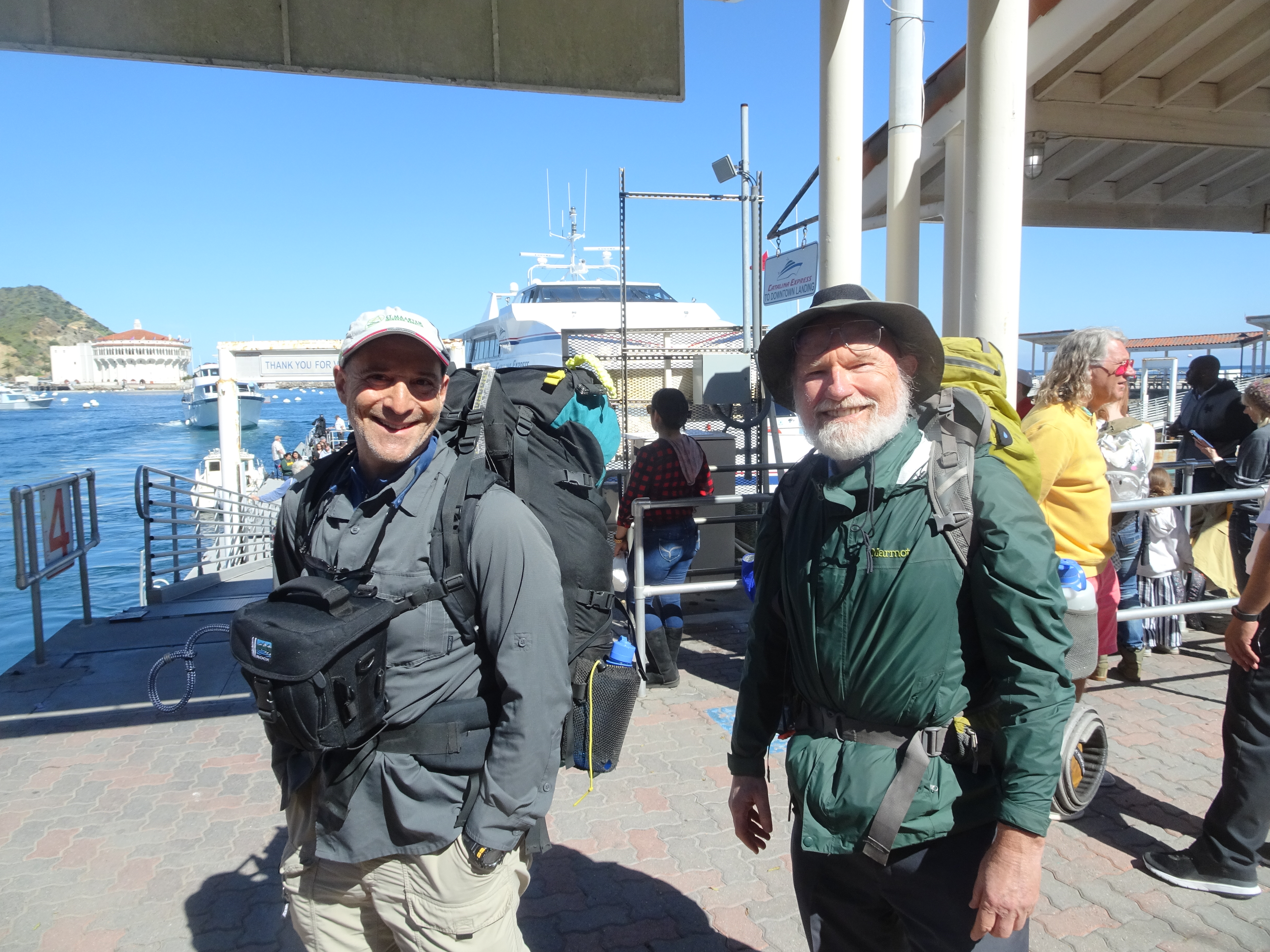 |
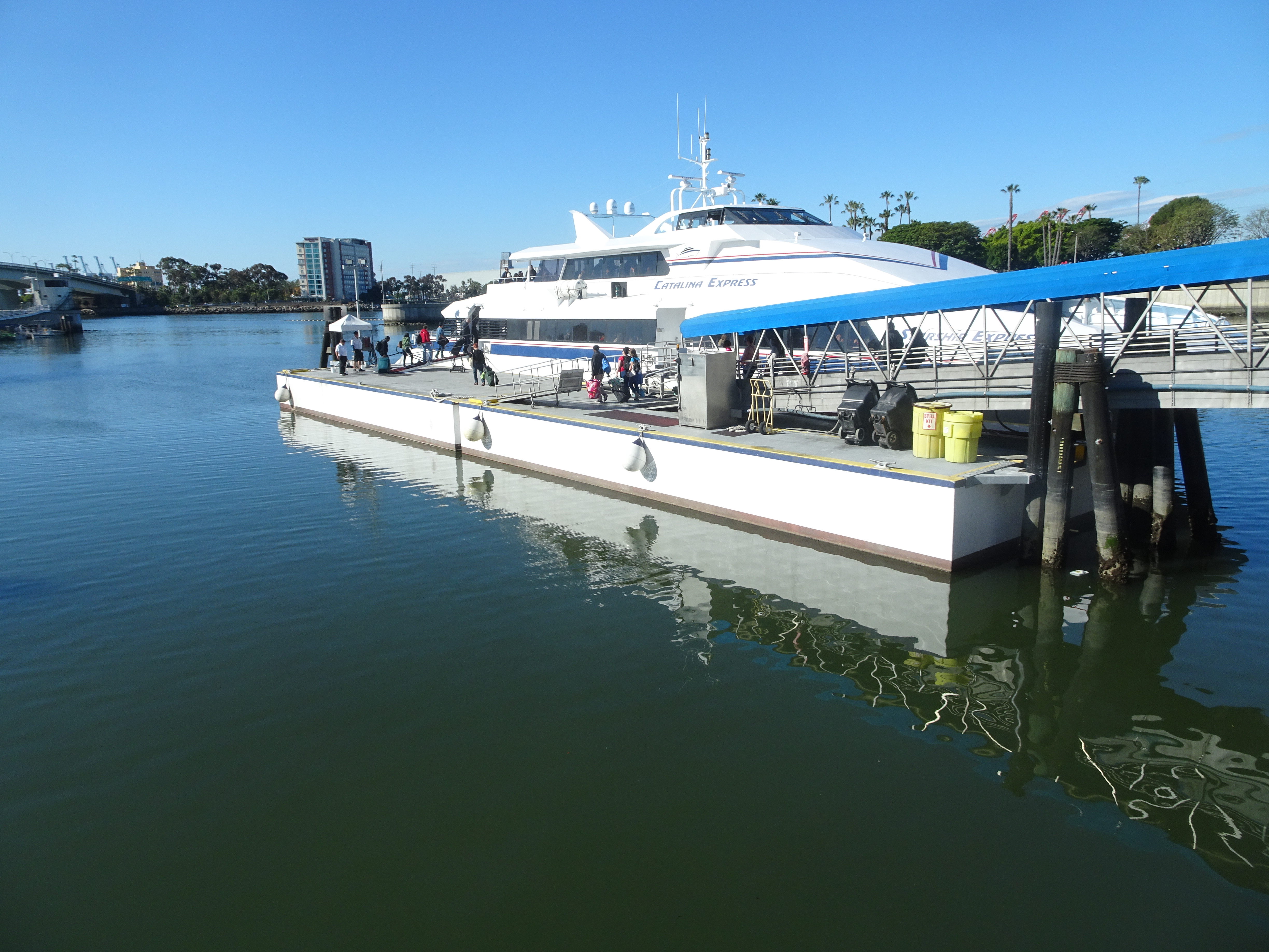
Drove both cars to San Pedro ferry parking lot to which we would return at the end of the backpacking, then drove Bob's car back to the Long Beach ferry, making it to the 11:30 ferry to Avalon on Catalina Island with just a few minutes to spare. Then off we went.
 |
 |
 |
 |
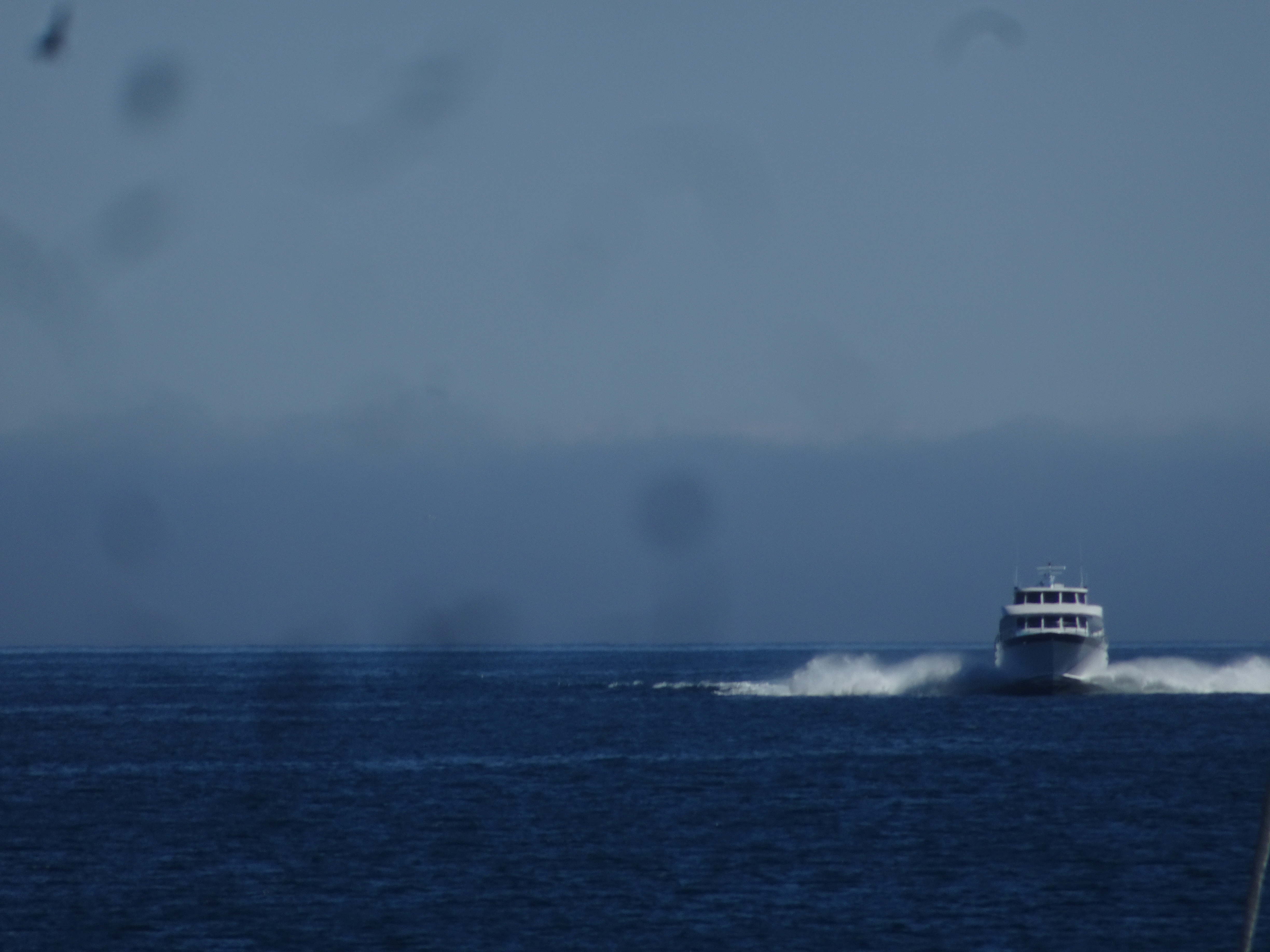
While on the ferry saw both a seal and a whale. As we approached Avalon we saw a person floating above the sea being pulled by a boat, then a Carnival cruise ship - the "Inspiration".
 |
 |
 |
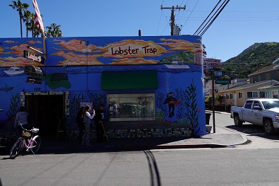
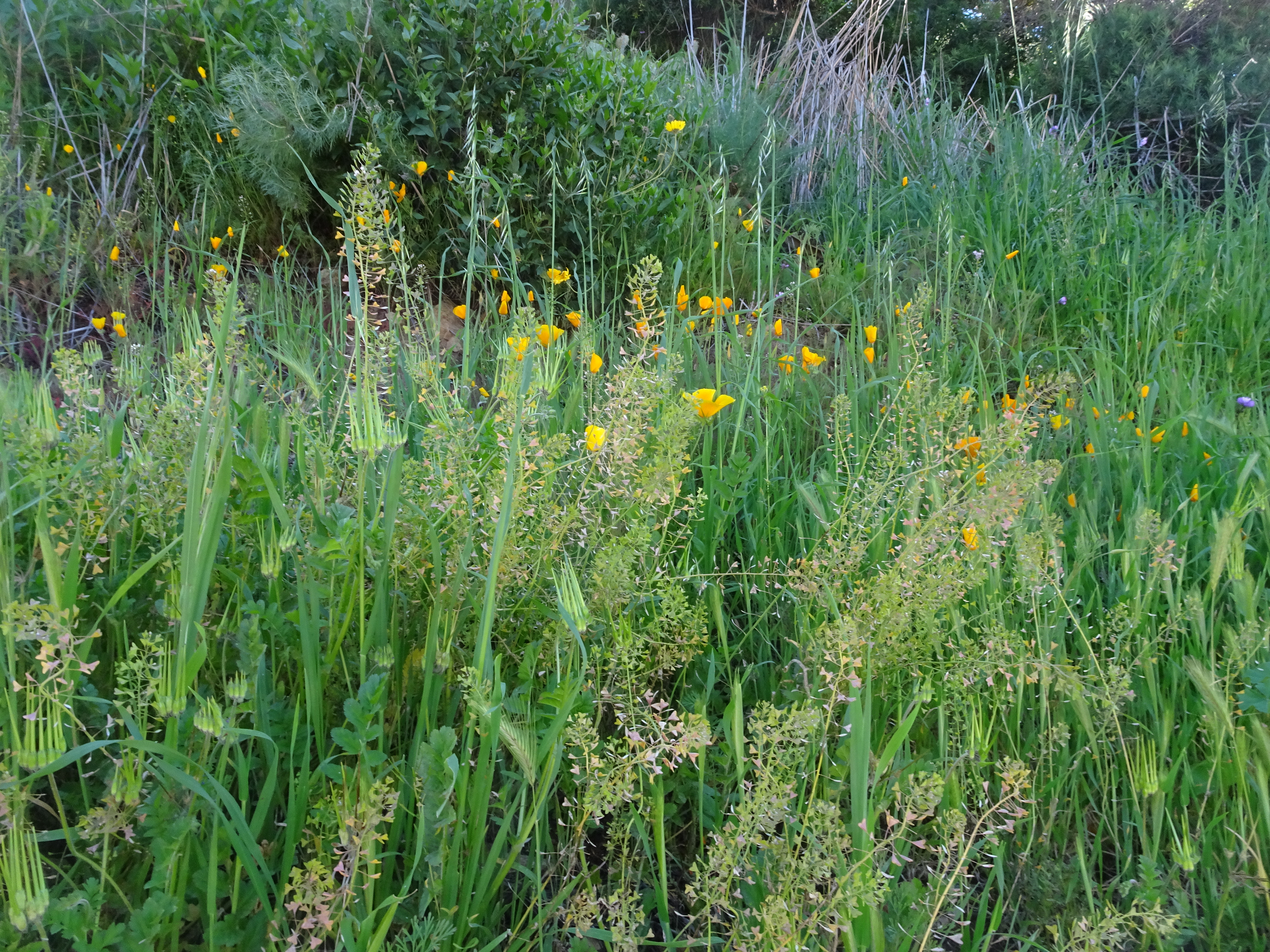
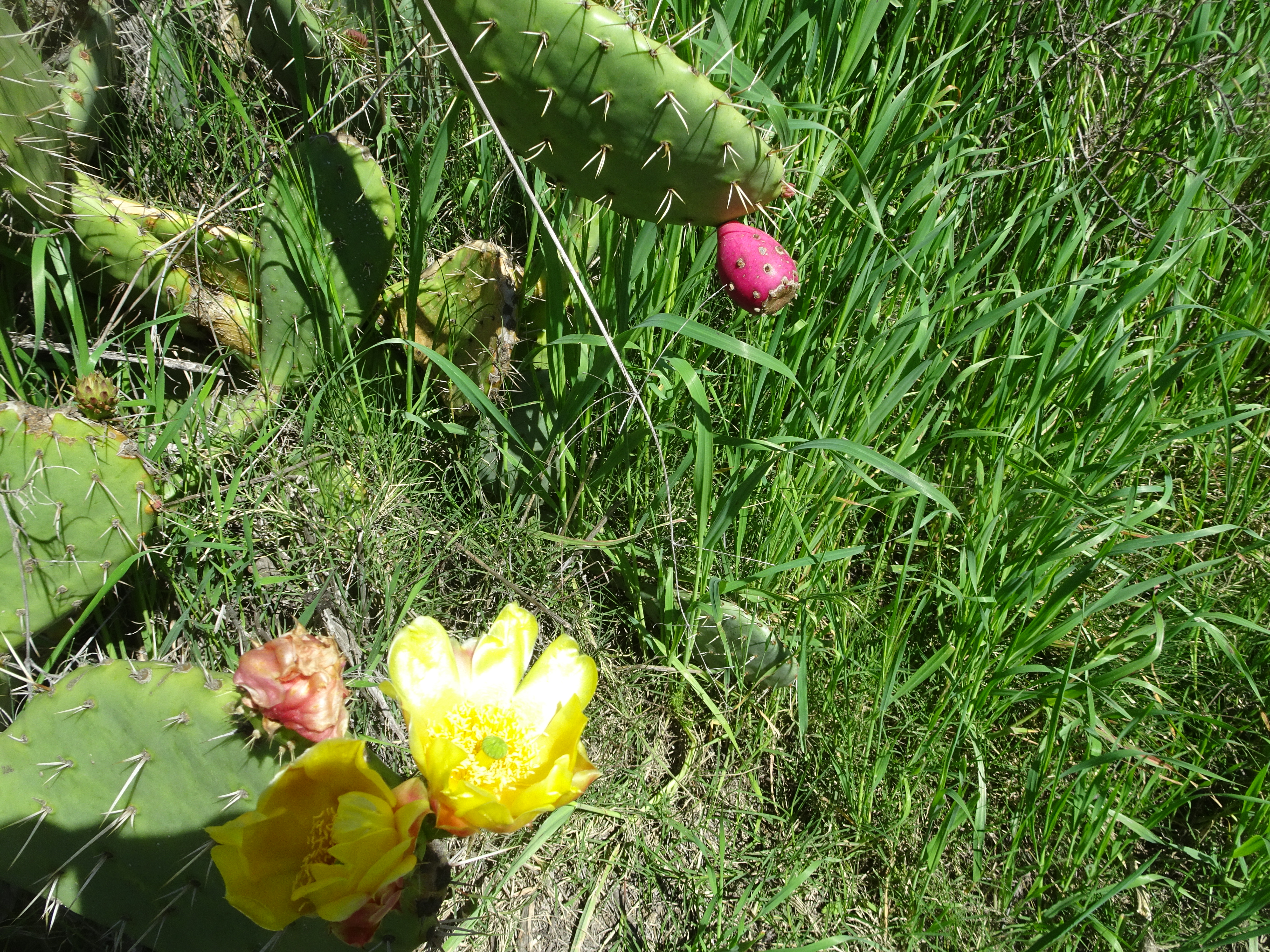
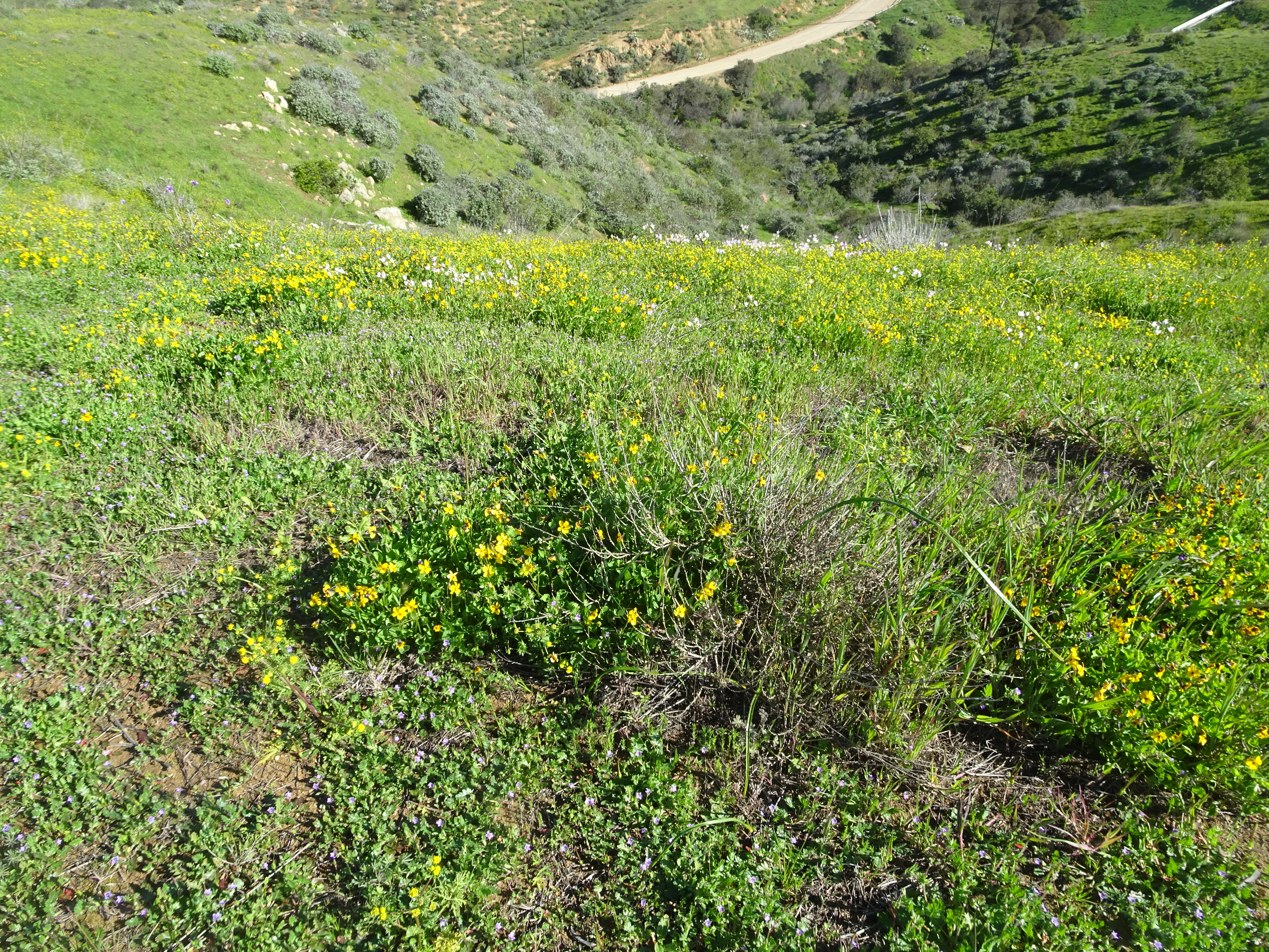
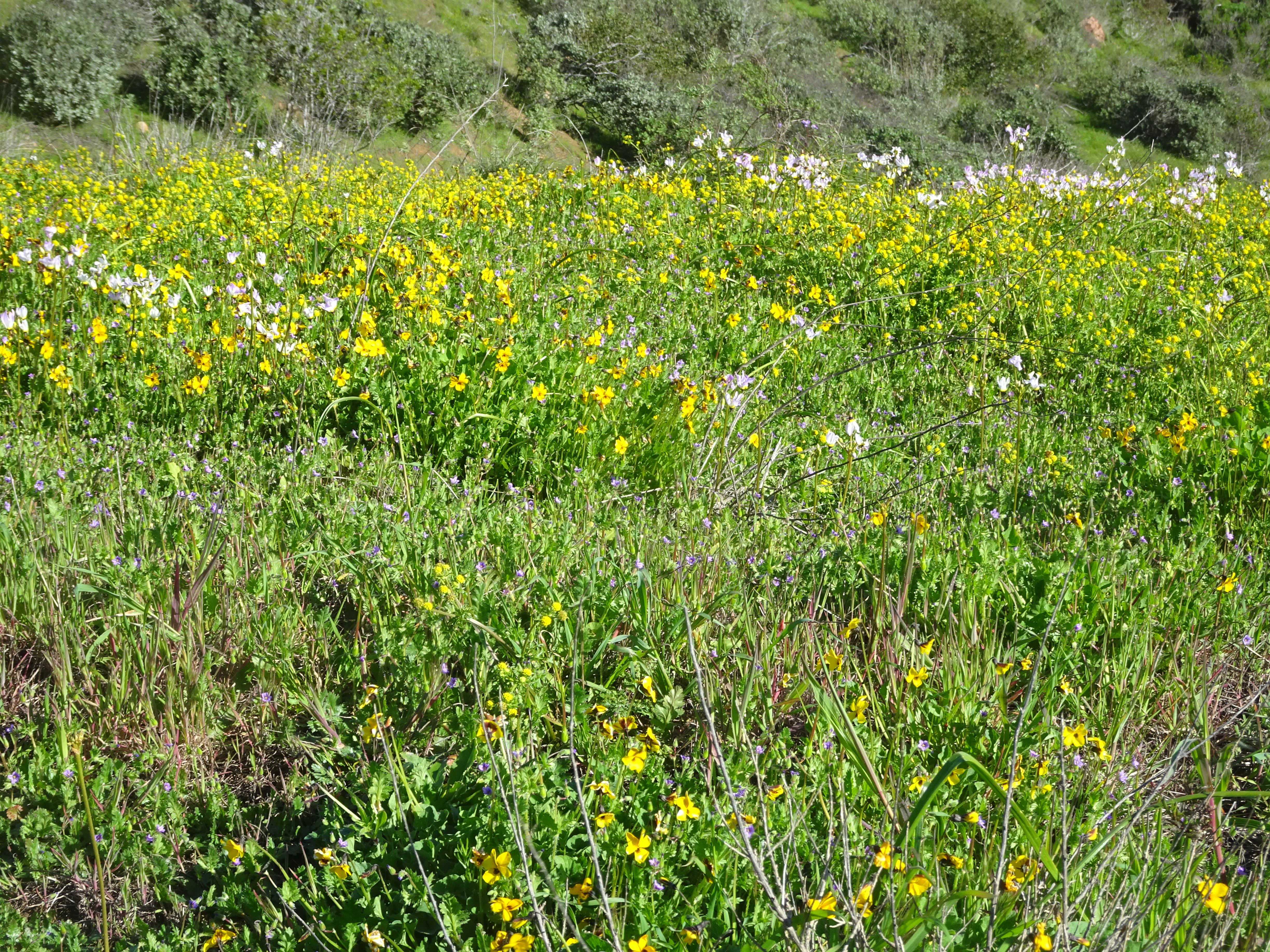
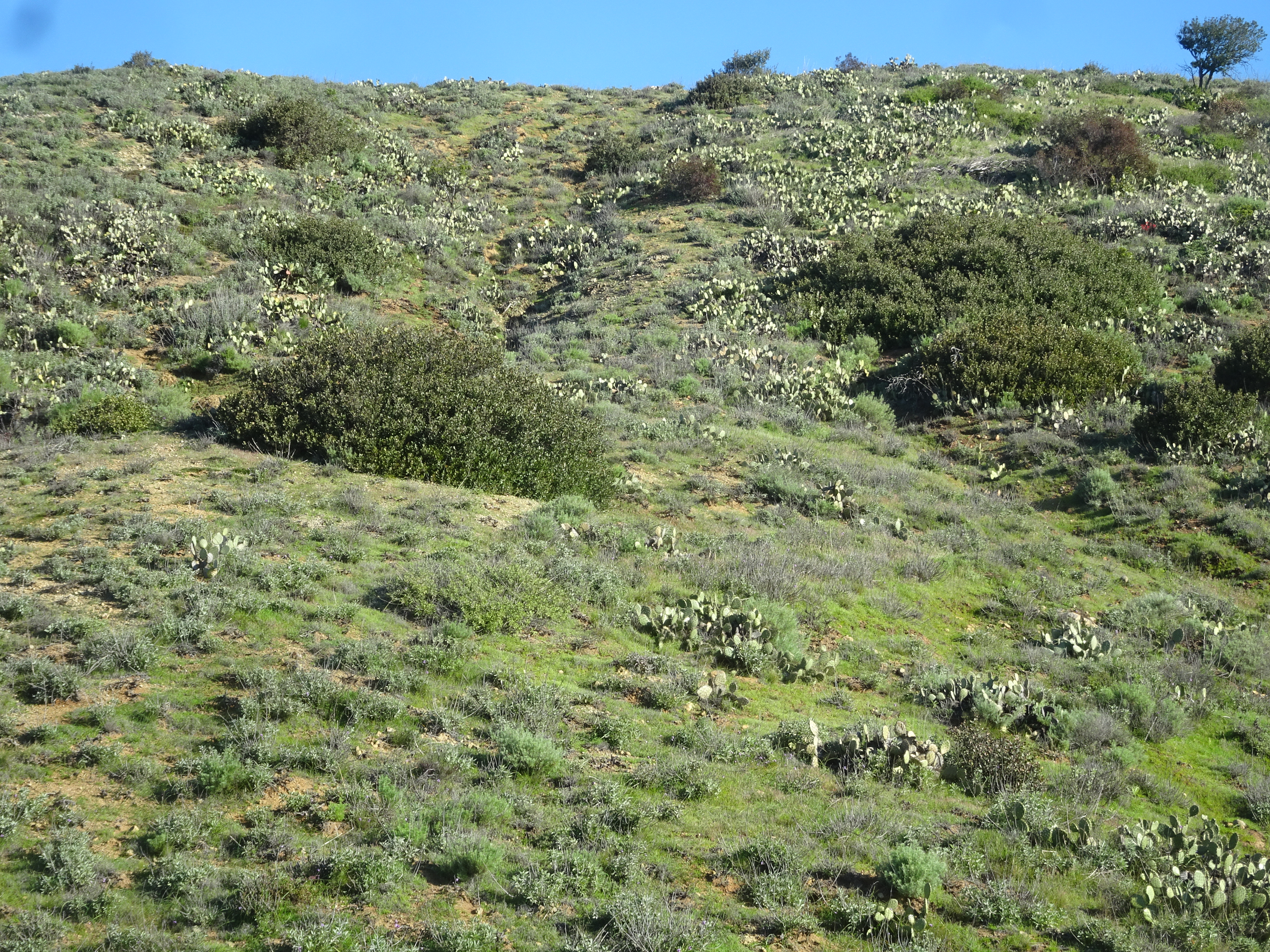
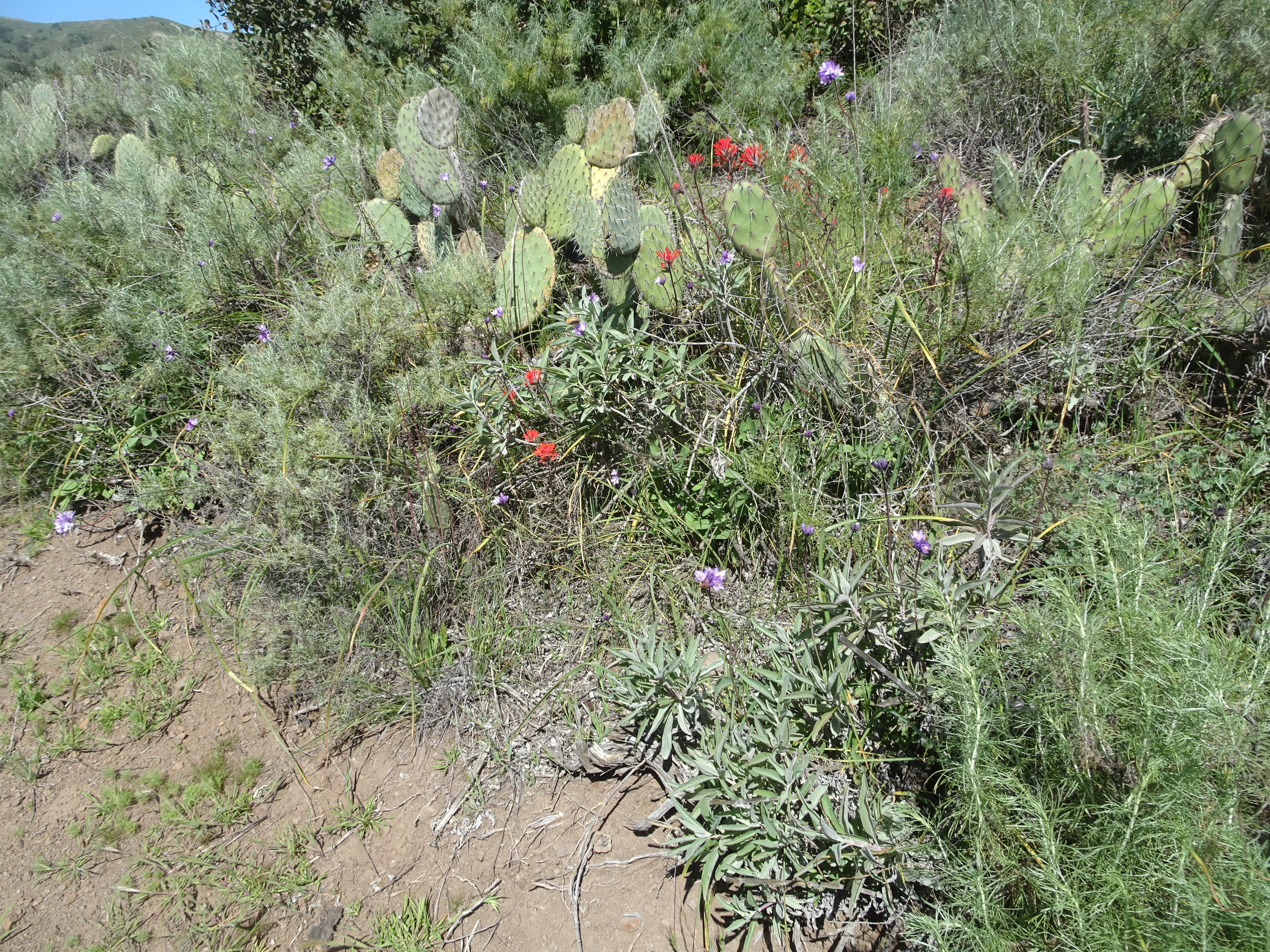
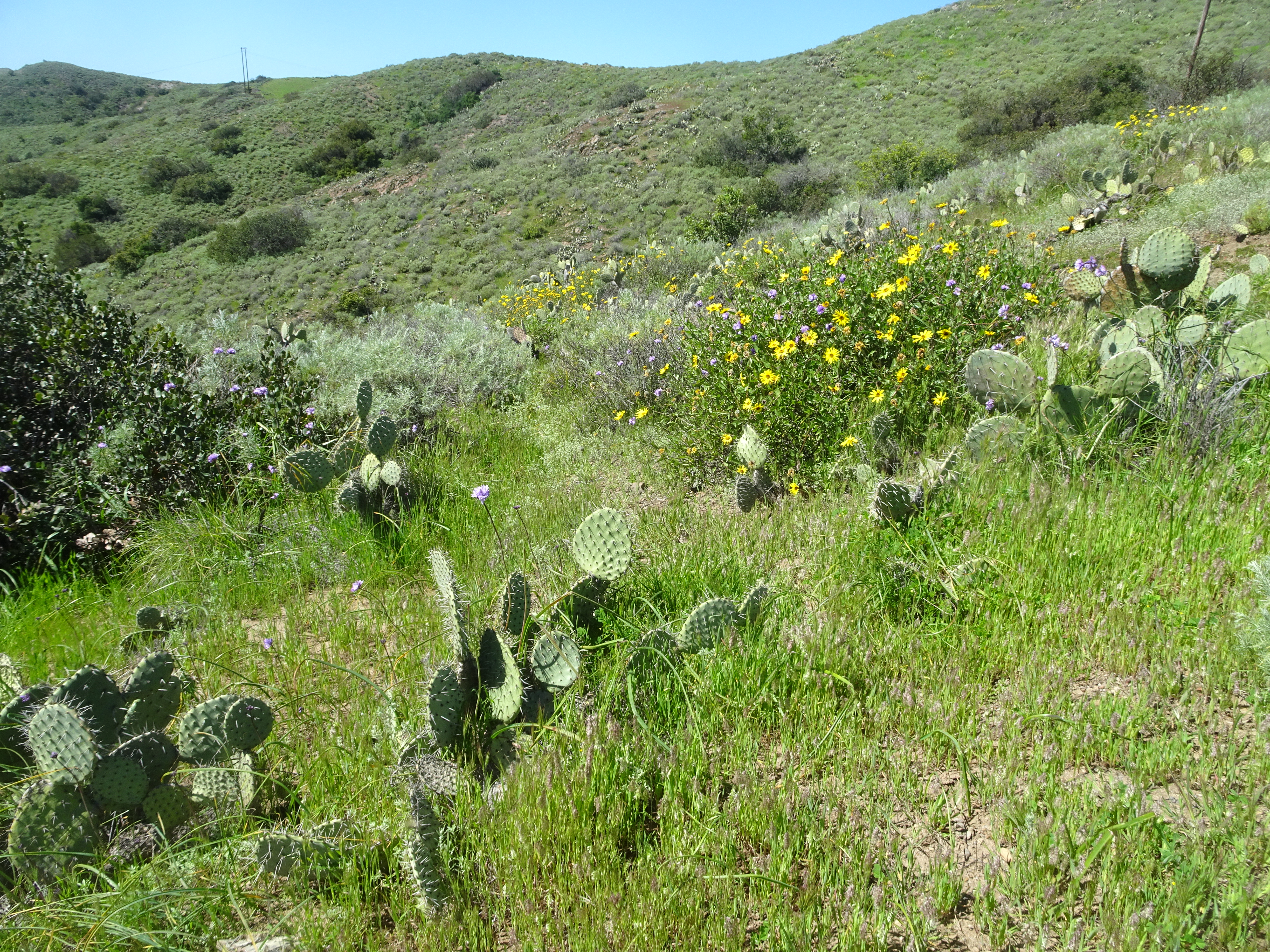
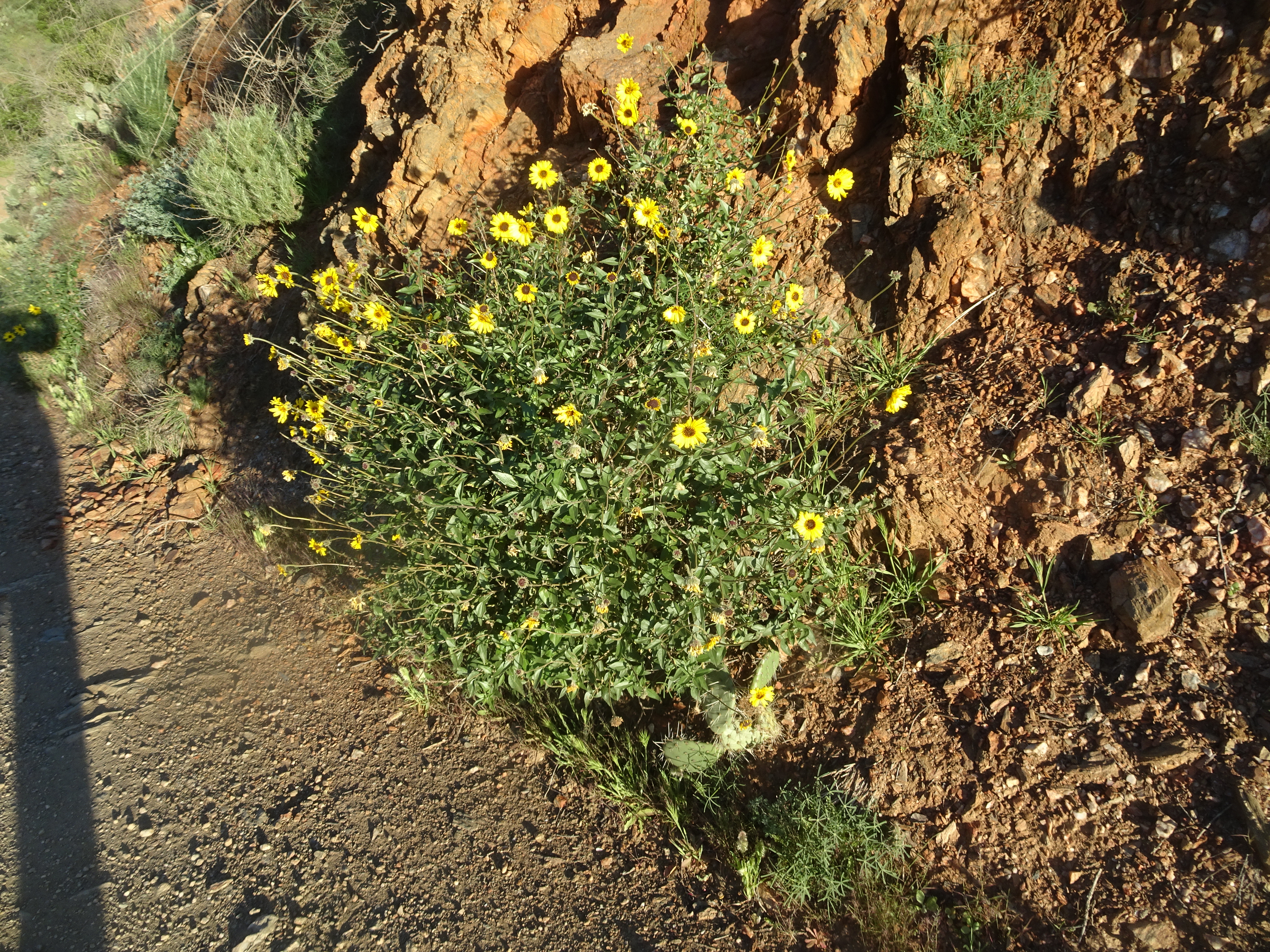
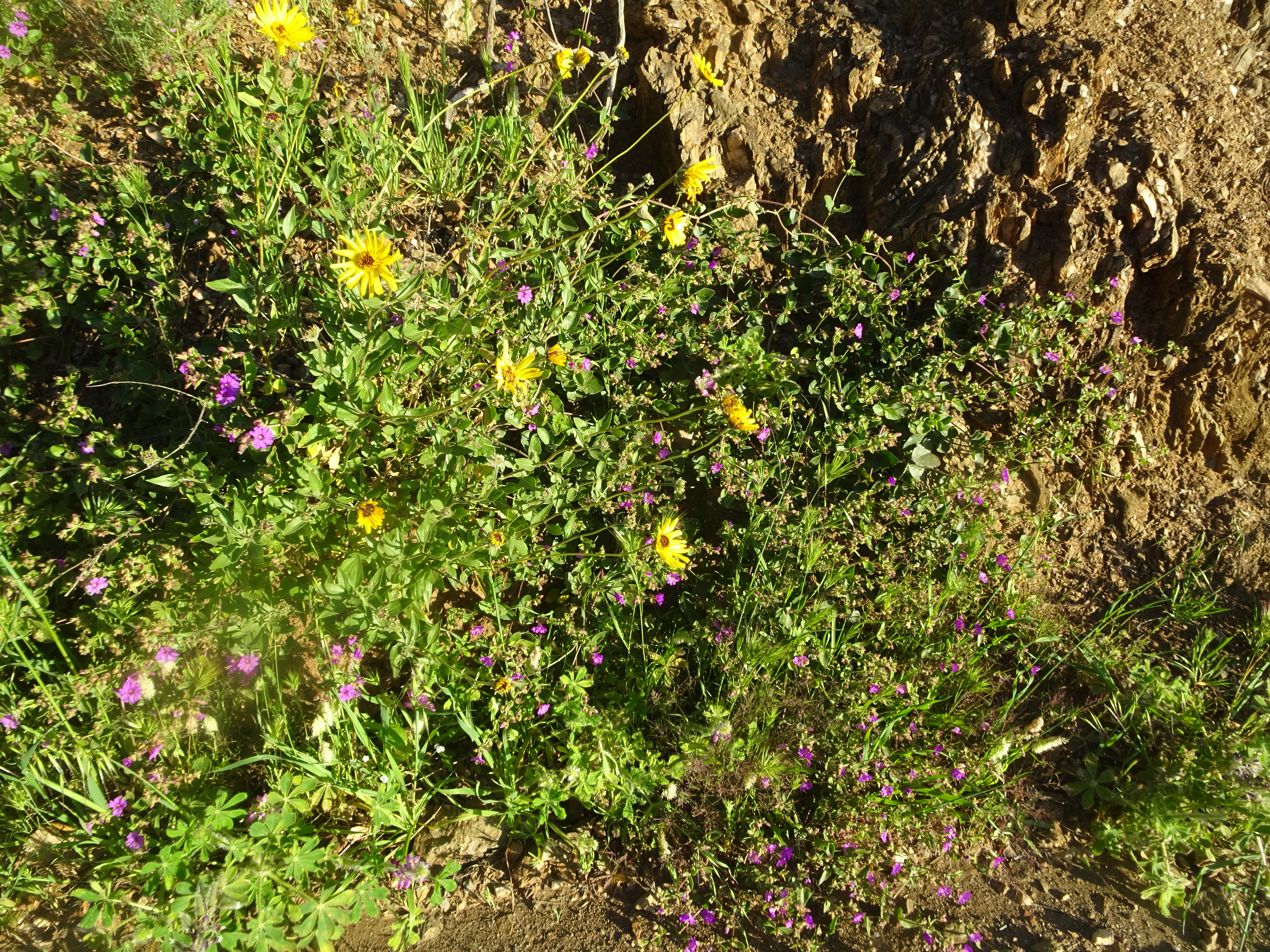
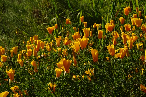
At Avalon harbor, as we would see across Catalina island, it was clearly spring time with lots of pretty flowers and greenery. The island is covered with cactus and much of that also was in bloom. Ate lunch in Avalon at the Lobster Trap, while dinner consisted of groceries bought at Von's Safeway market in Avalon.
 |
 Above by Alan |
 Above by Alan |
 |
 |
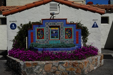
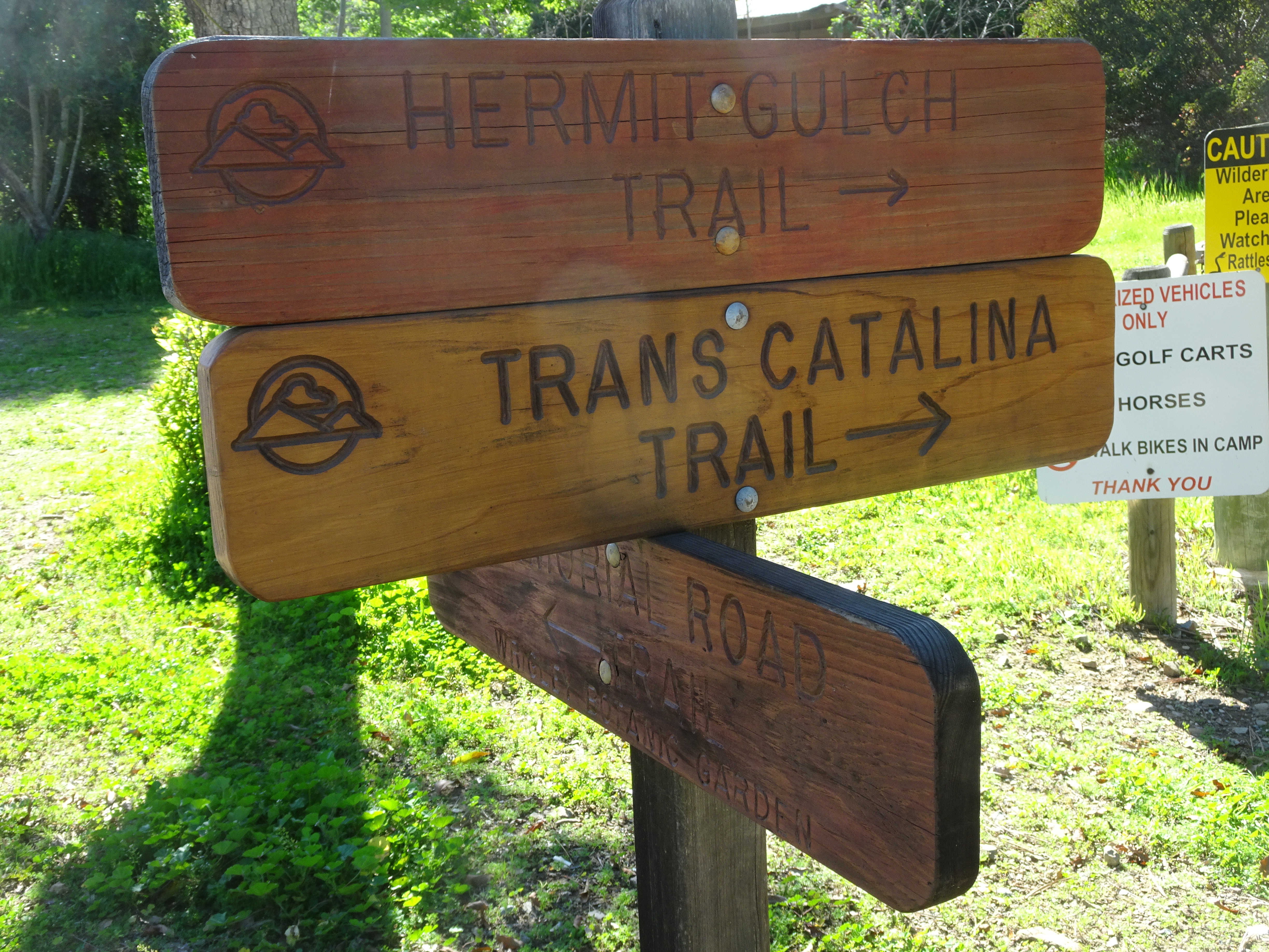
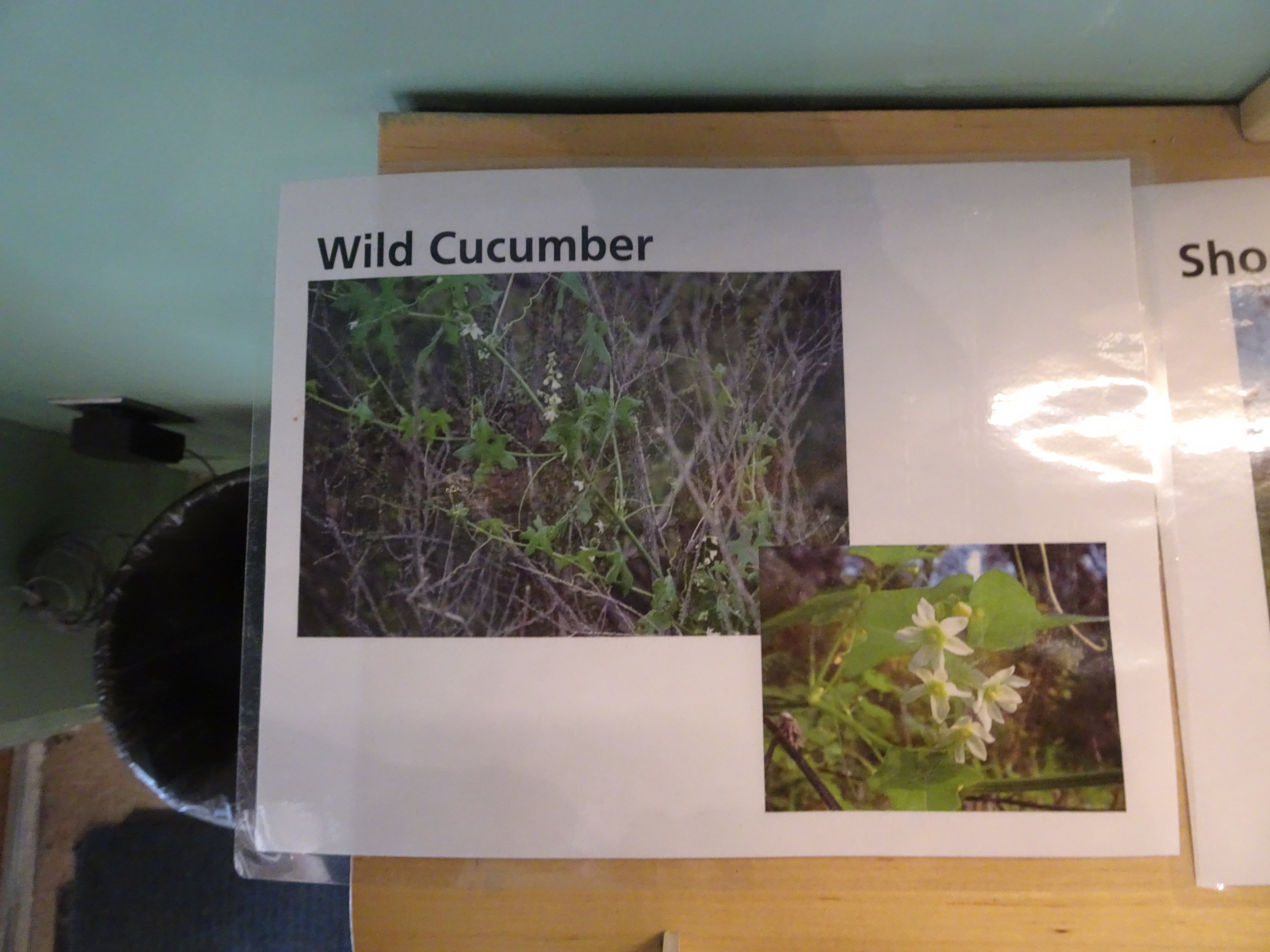
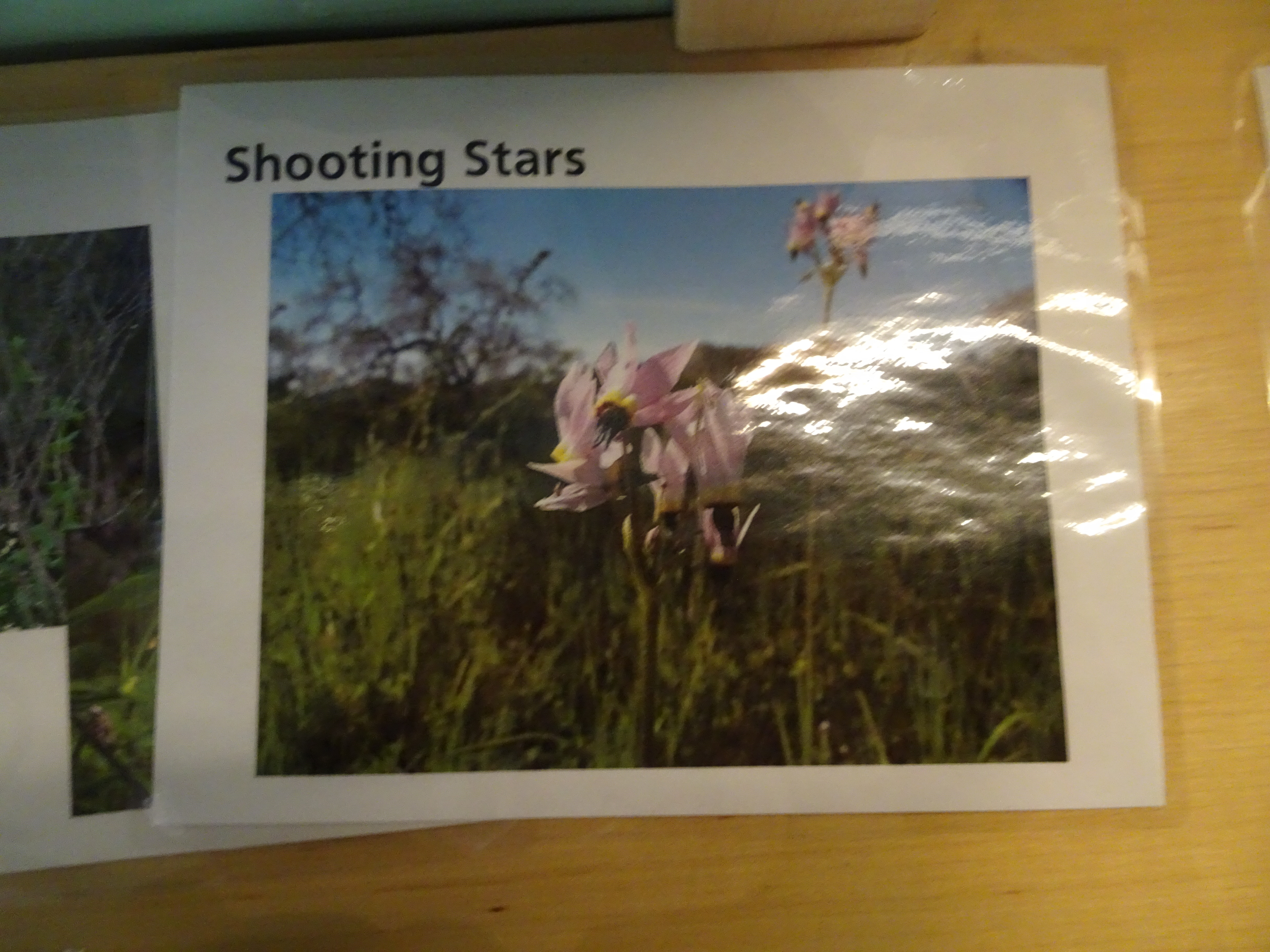
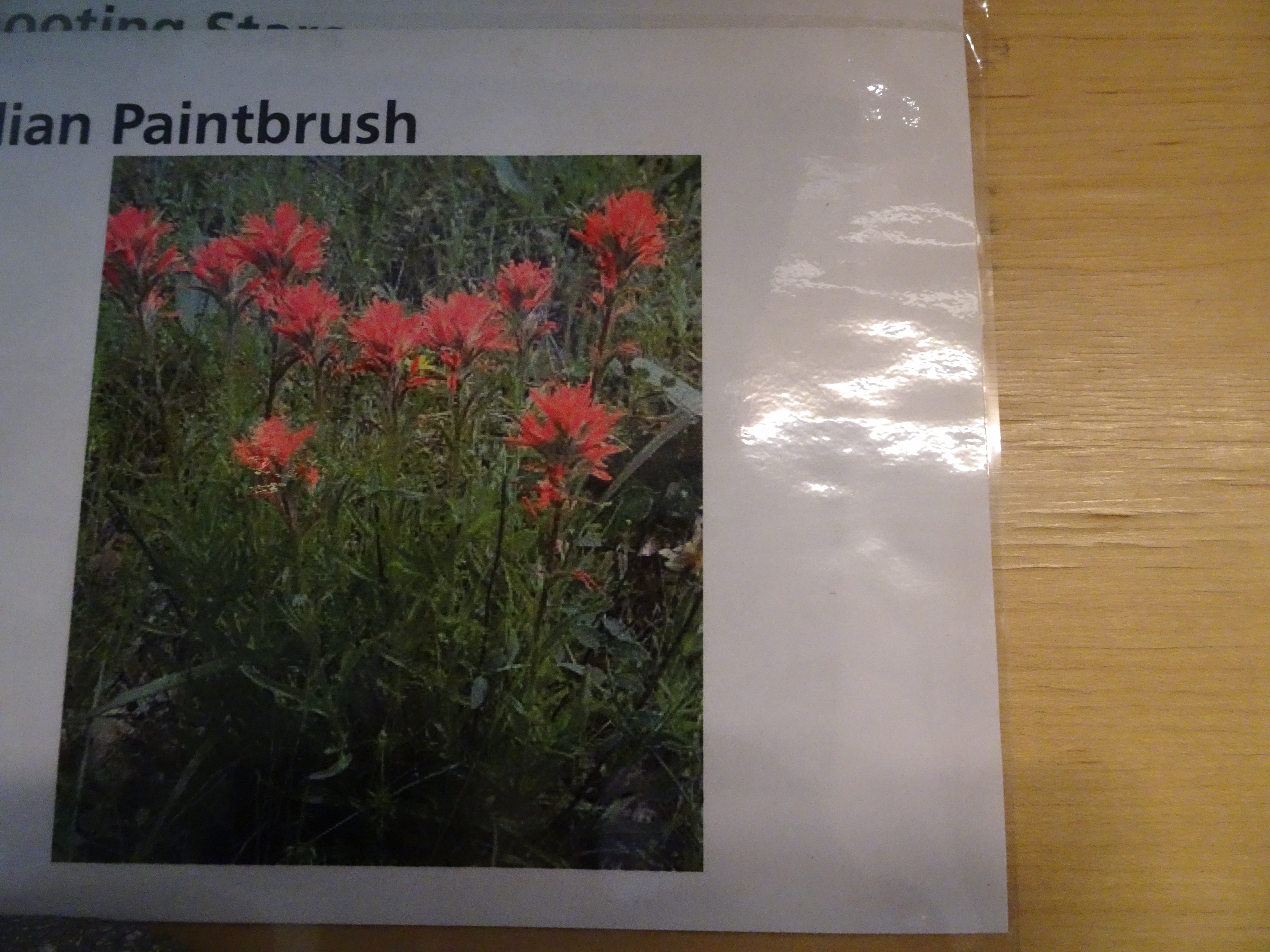
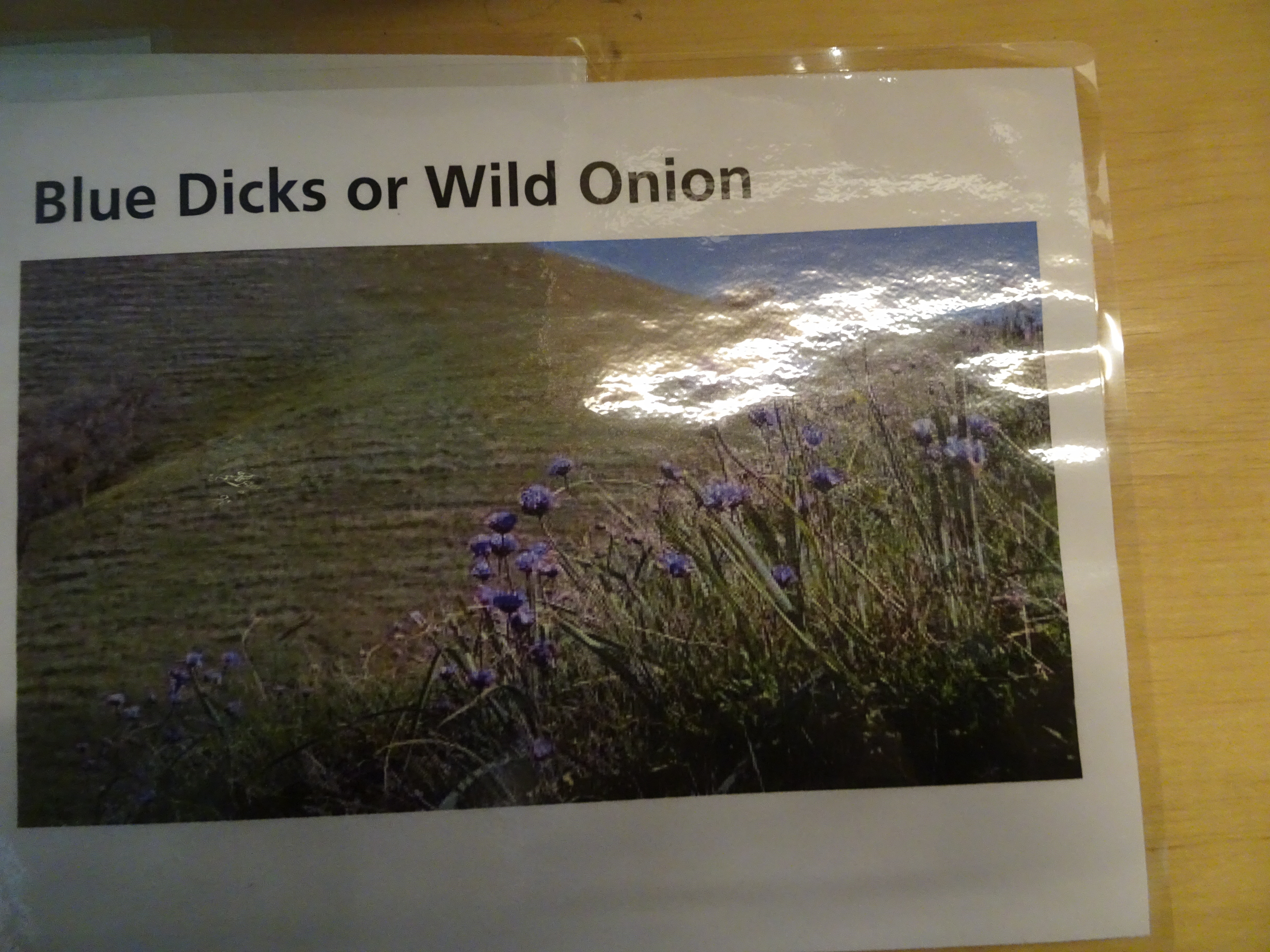
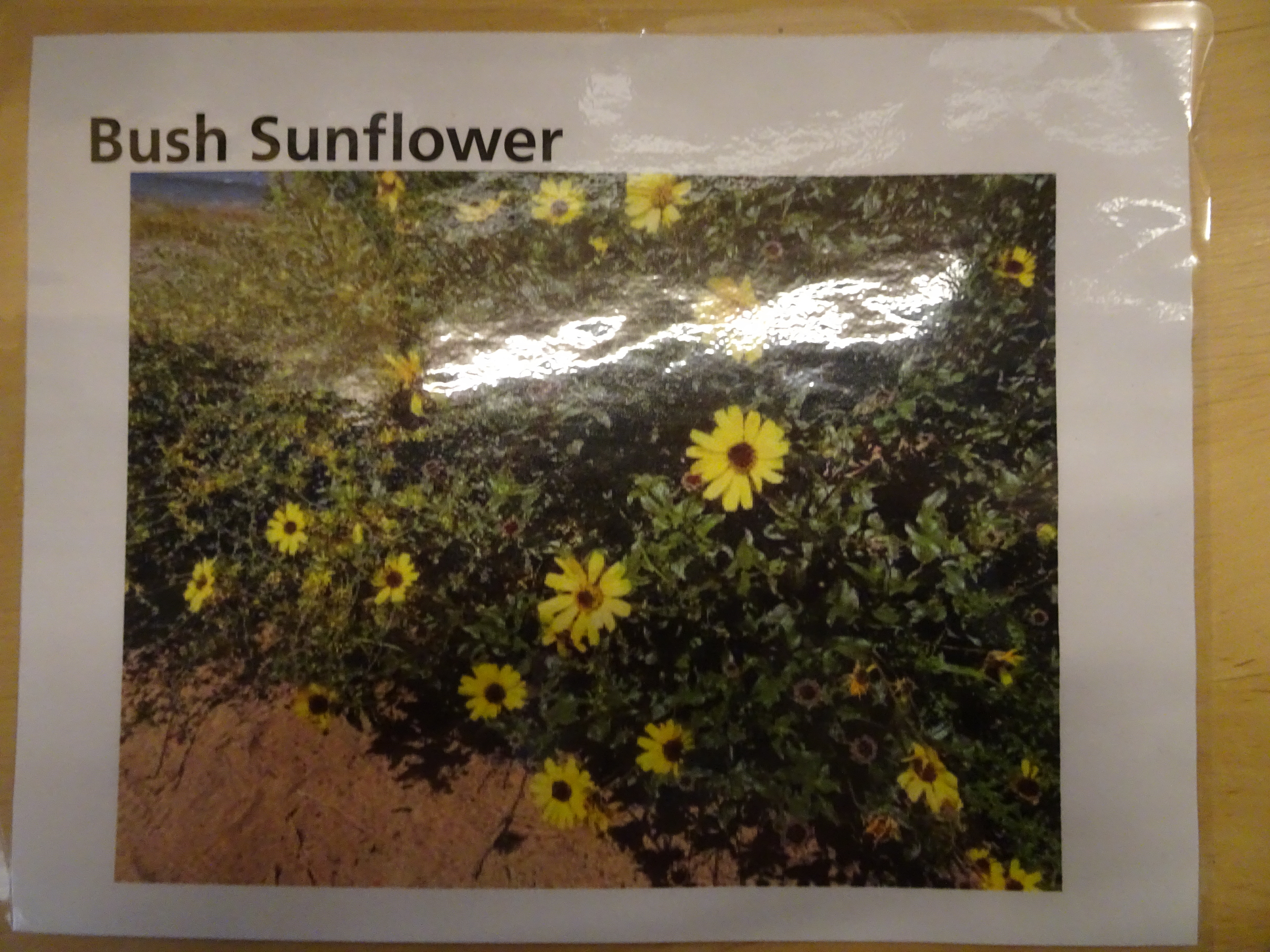
We walked around Avalon and found both the trail head and the Catalina Conservancy, which had information on the wild flowers, which Bob could not resist copying.
 |
 |
 |
 |
 |
 |
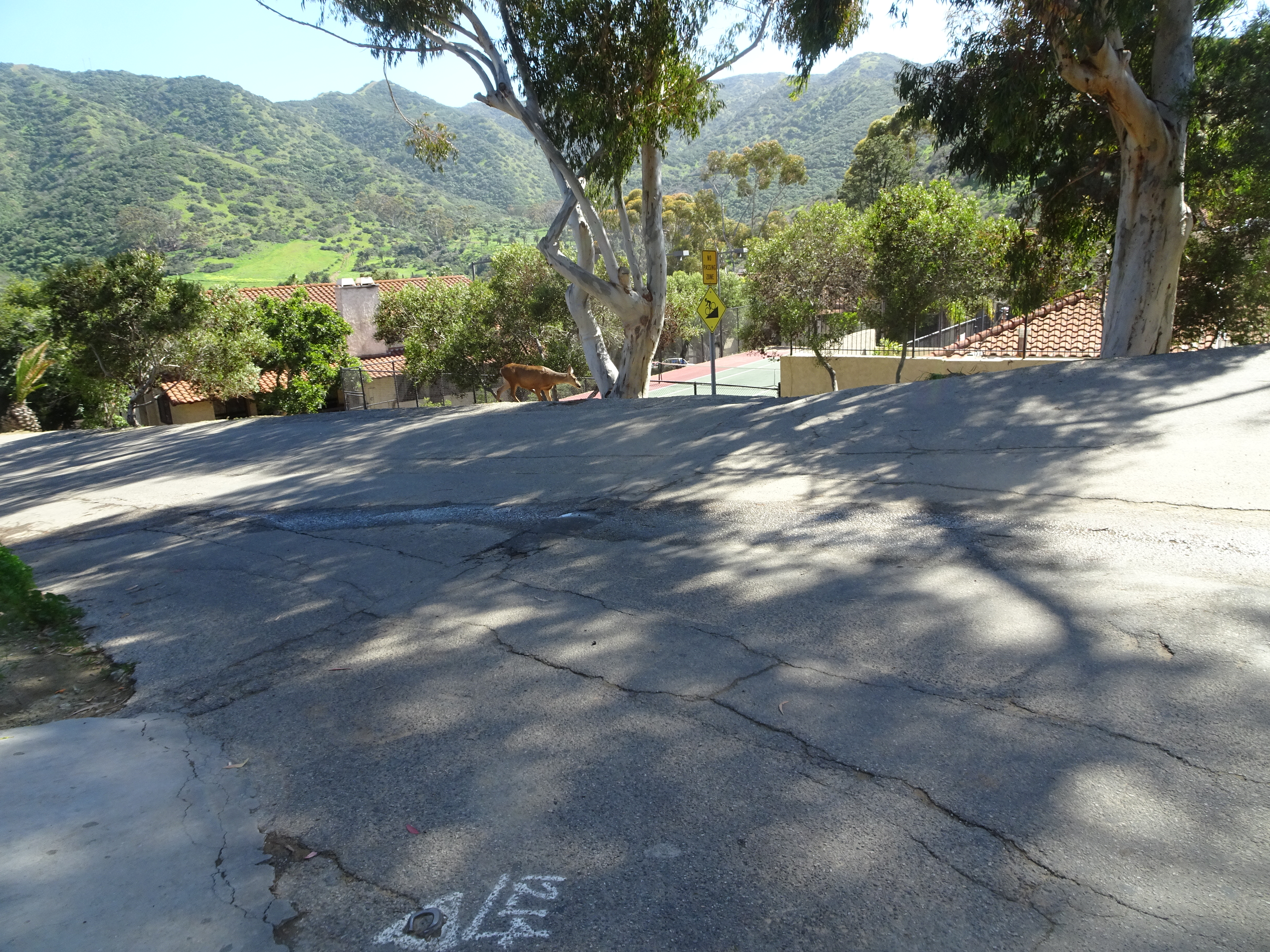
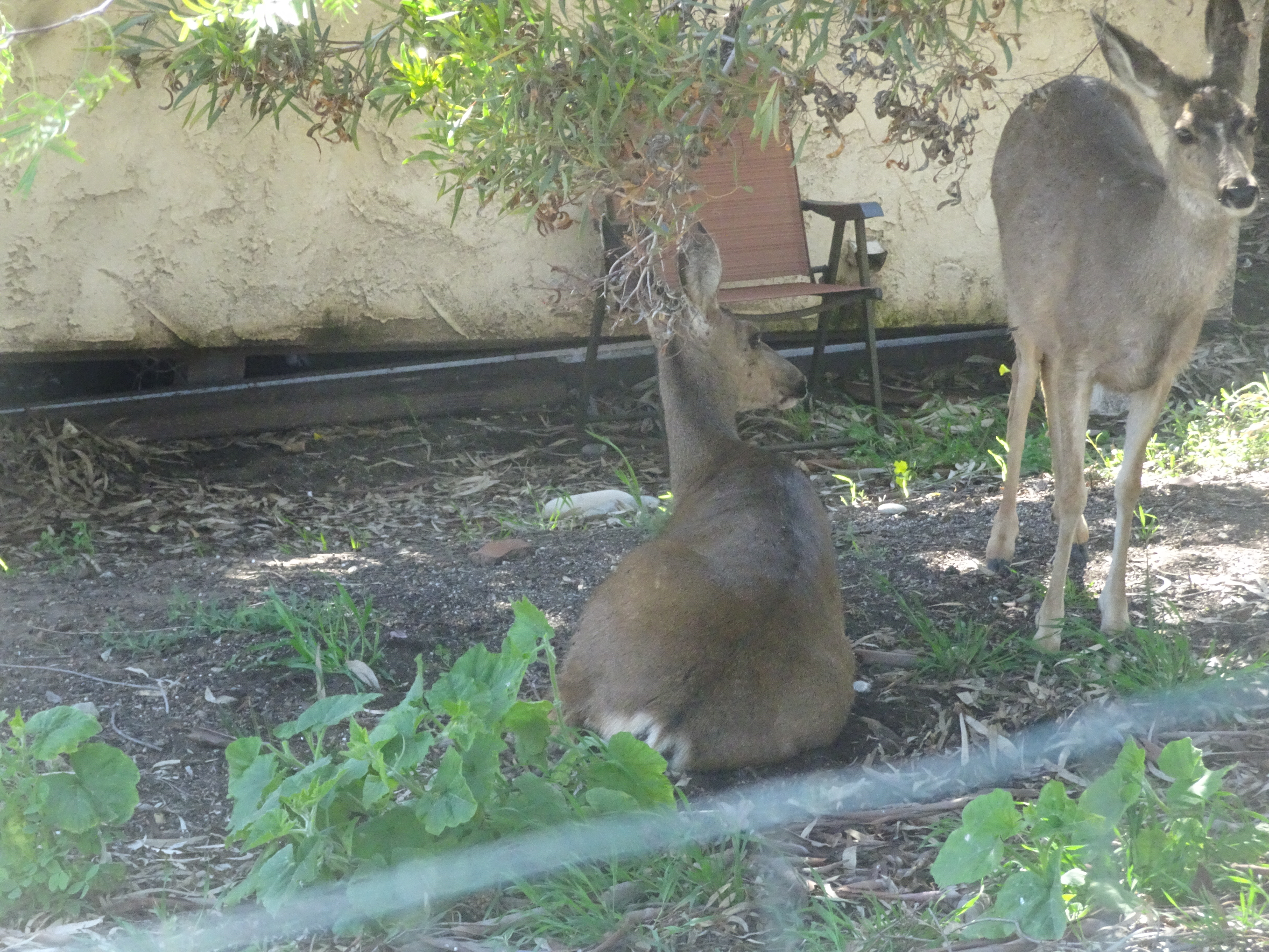
There were several deer around Avalon who seemed unbothered by humans.
 |
 |
 |
We stayed at the Holiday Inn Resort in Avalon for the night. We thought there might be some short cut from the hotel to the trailhead, but there was not.
 |
 |
 |
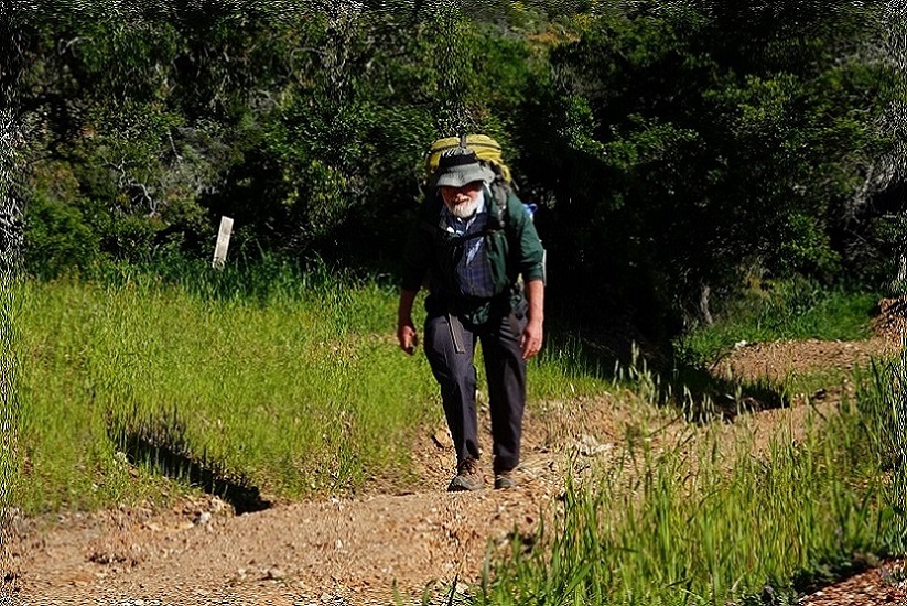
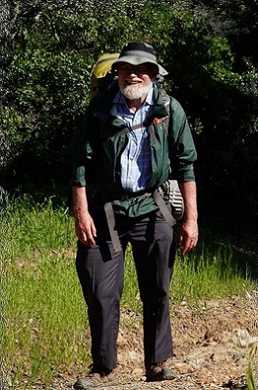
Got up at 6 am, ate in the room and got ready for our first day of backpacking, then got a taxi to the trailhead.
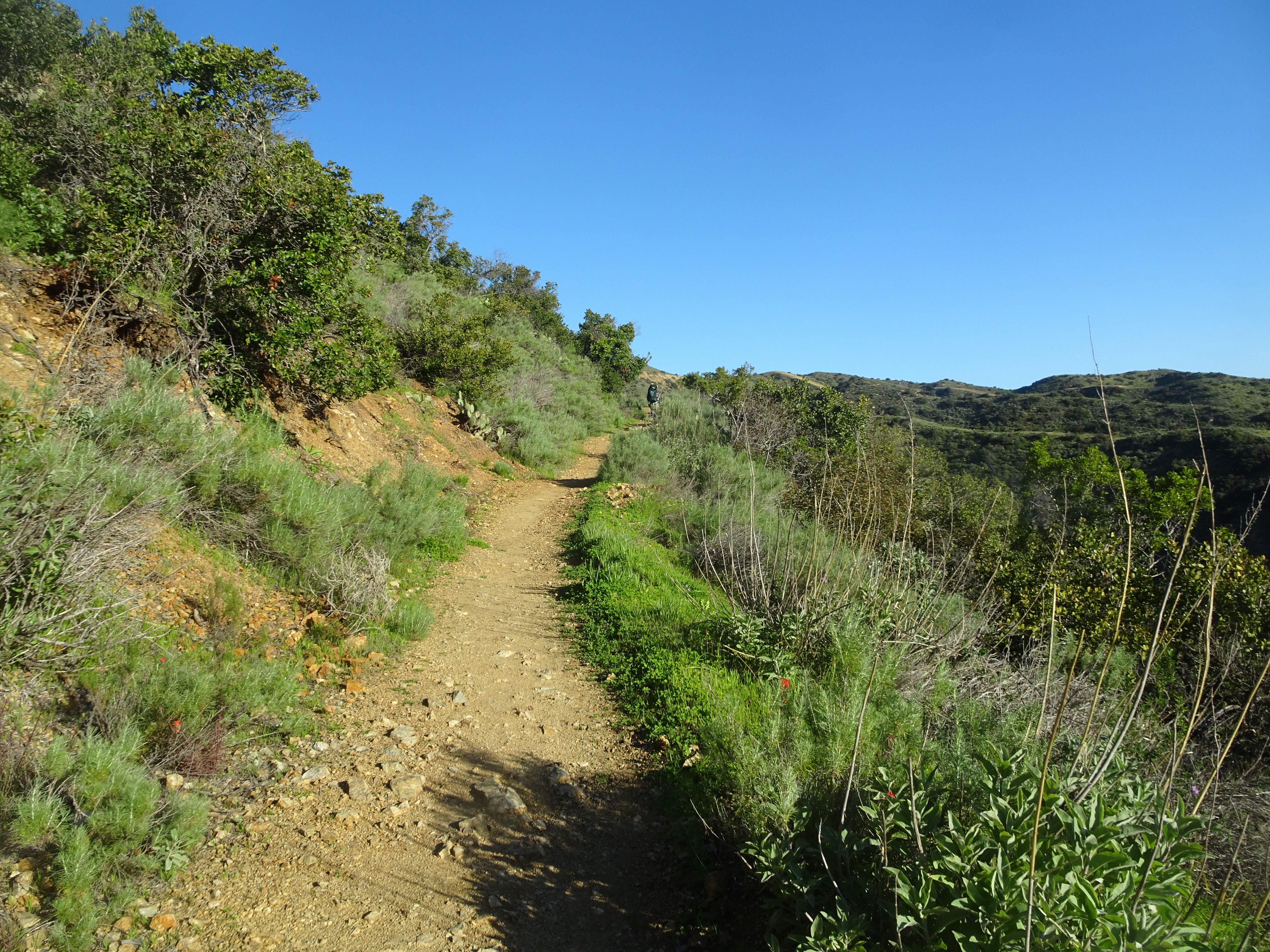
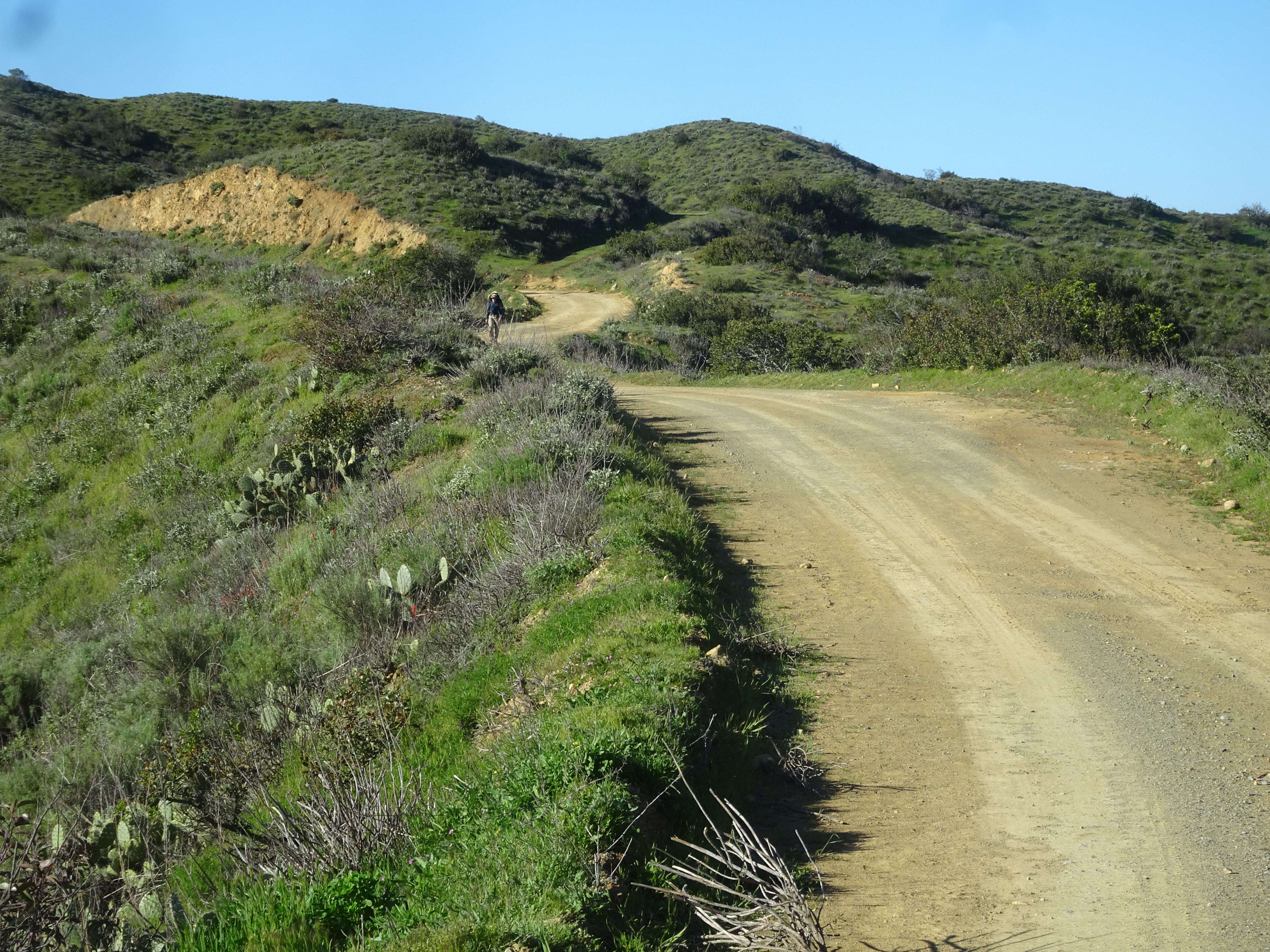
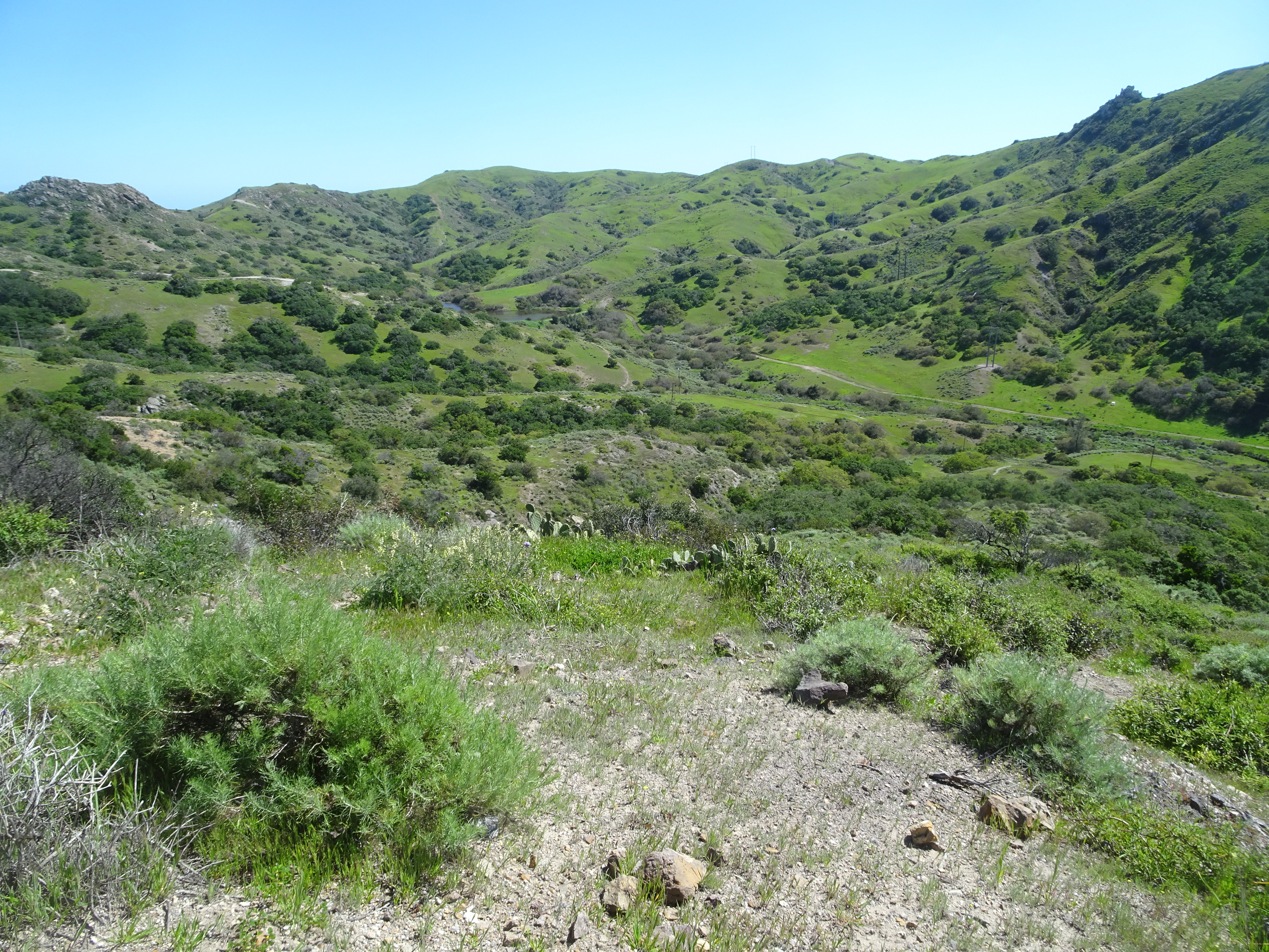
It was a steep hike with lots of up and down to Black Jack Campground, which did give us a chance to see Avalon from above.
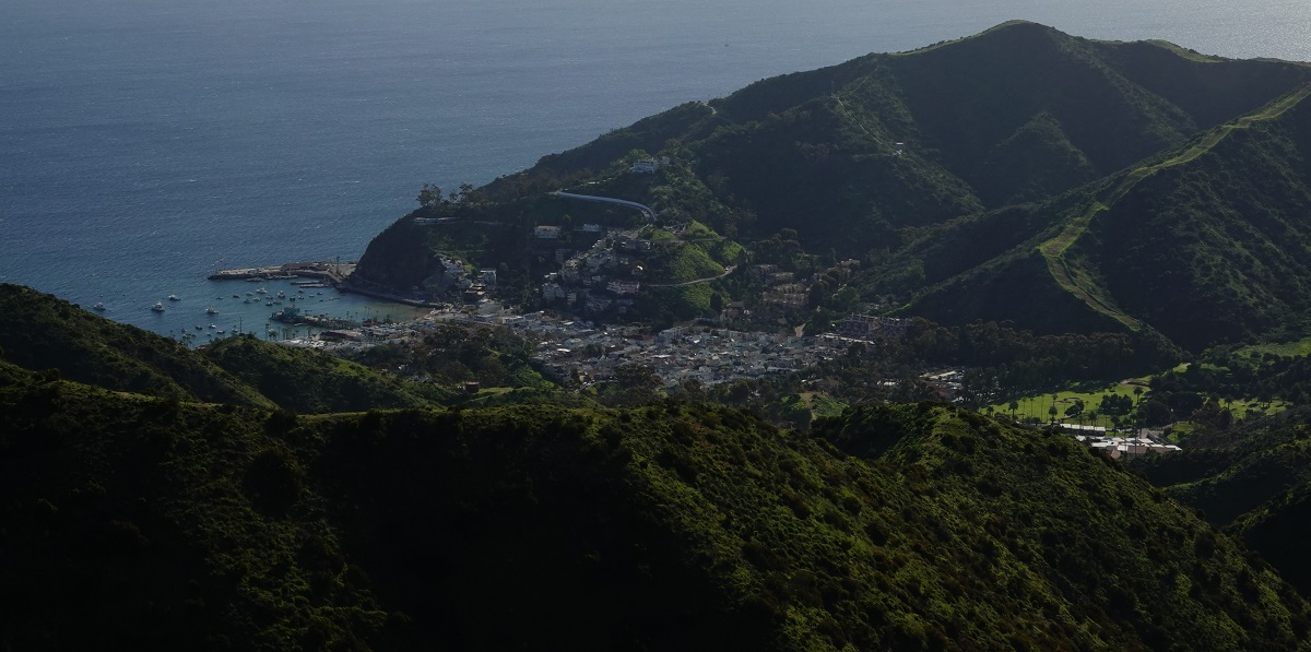 Above by Alan |
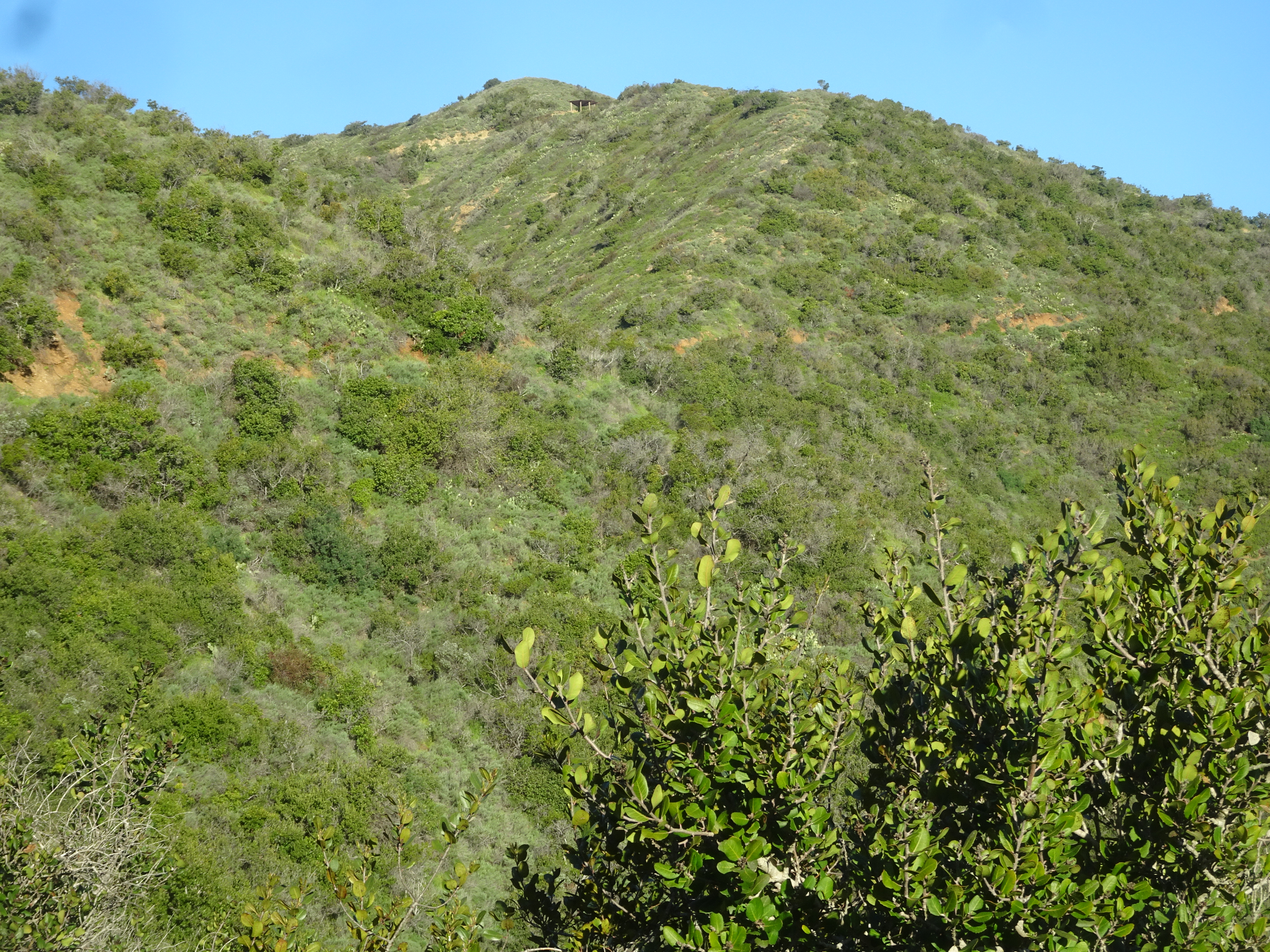
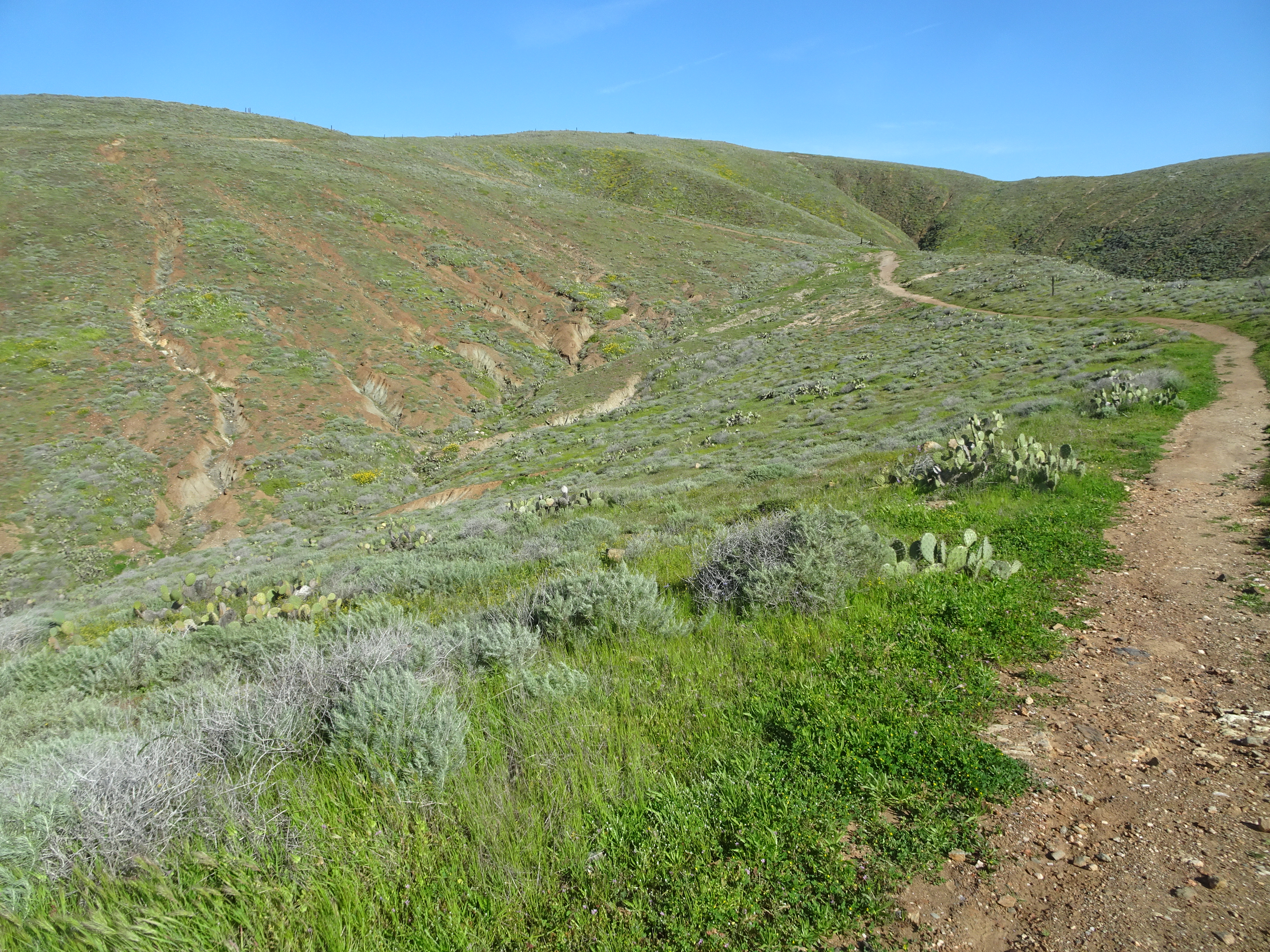
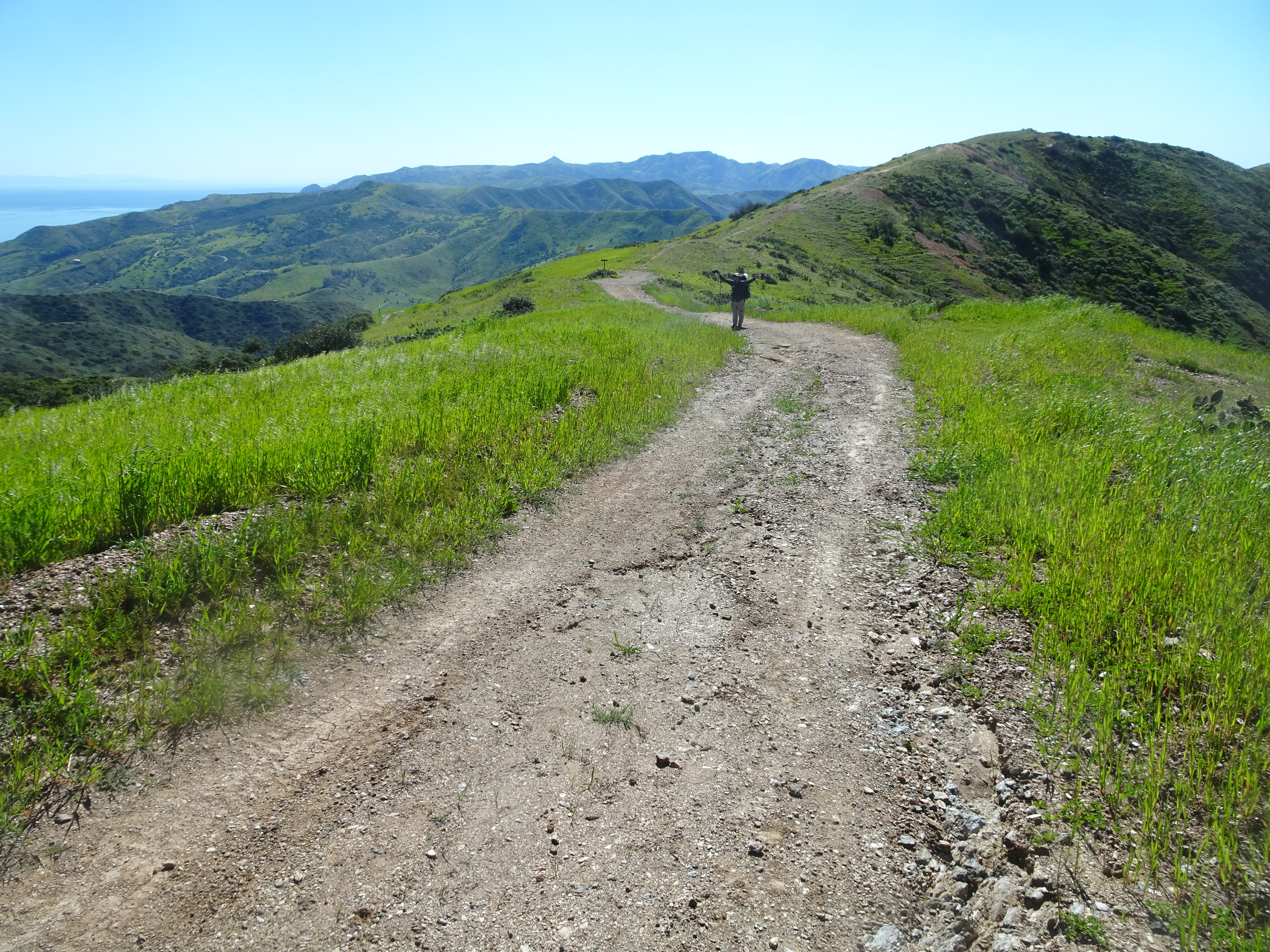
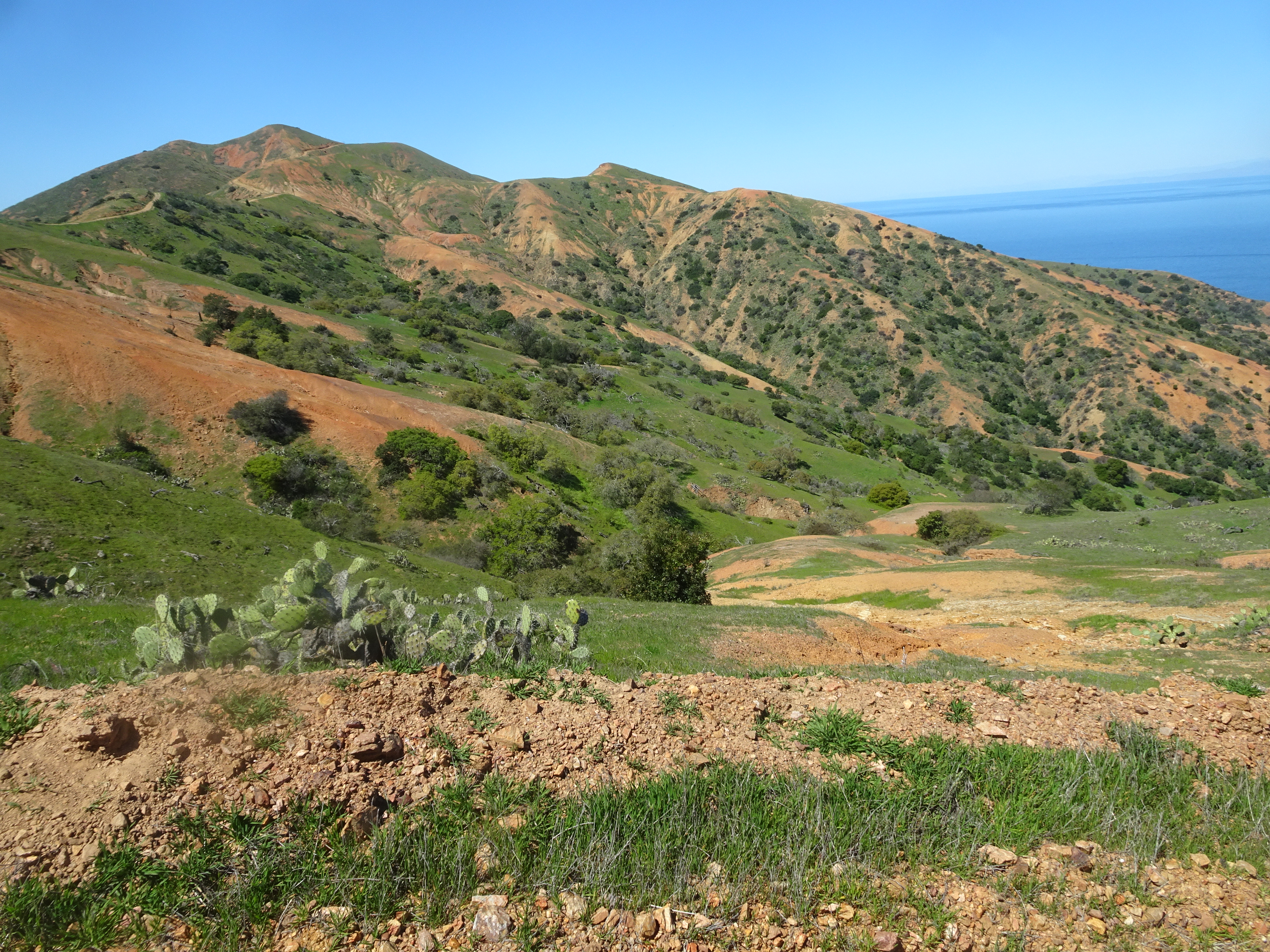
Very few people on the trail. Lots of cactus and lots of green landscape as we backpacked.
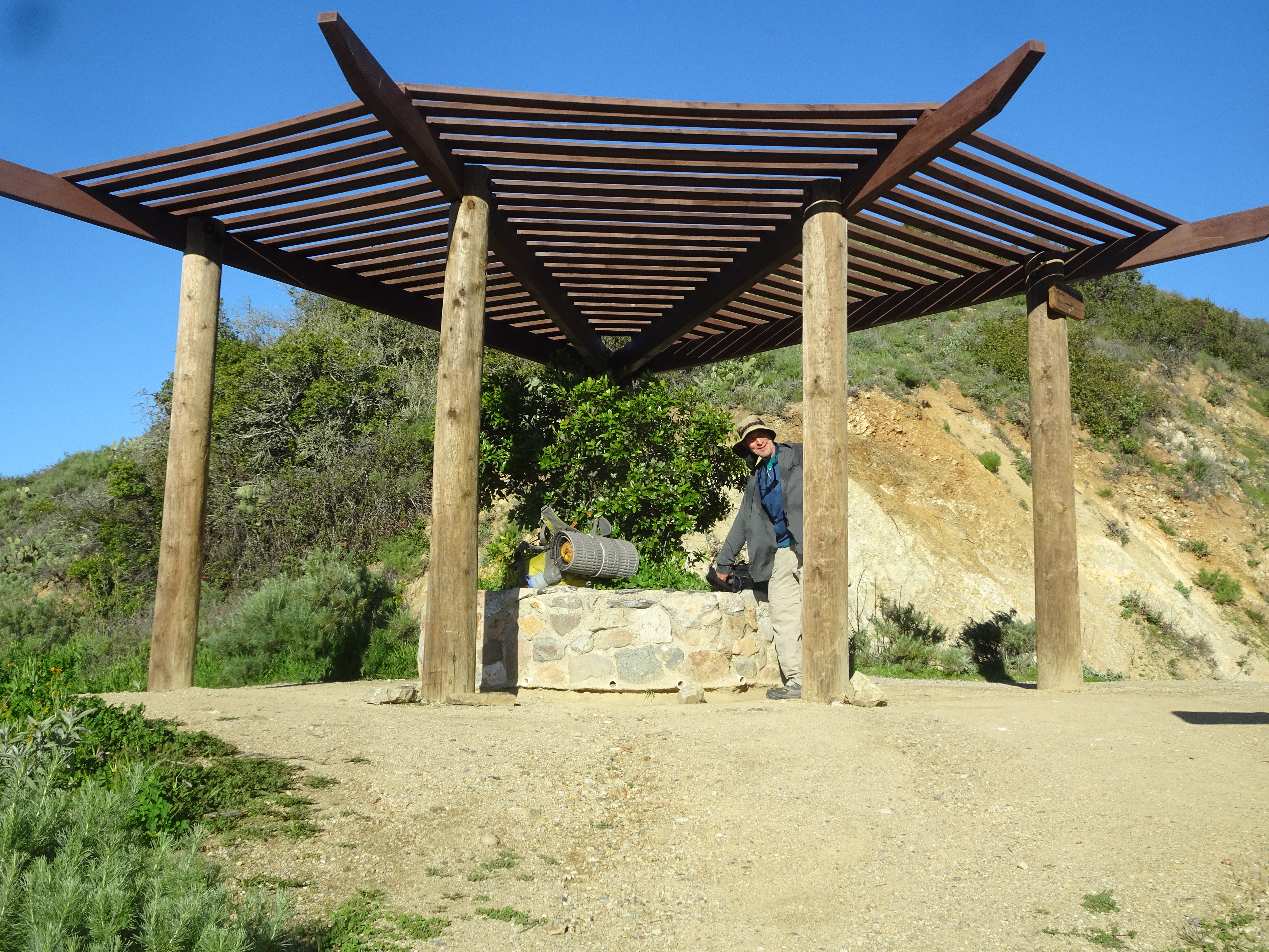
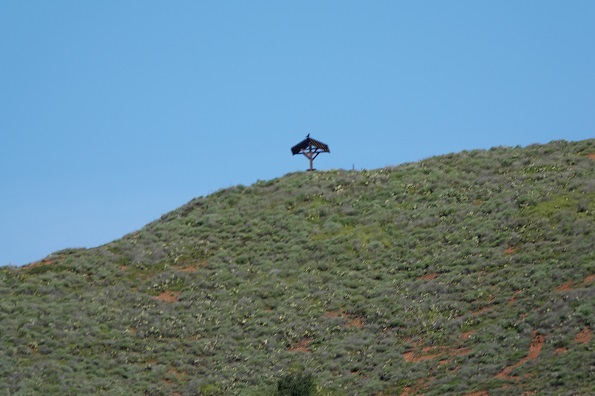
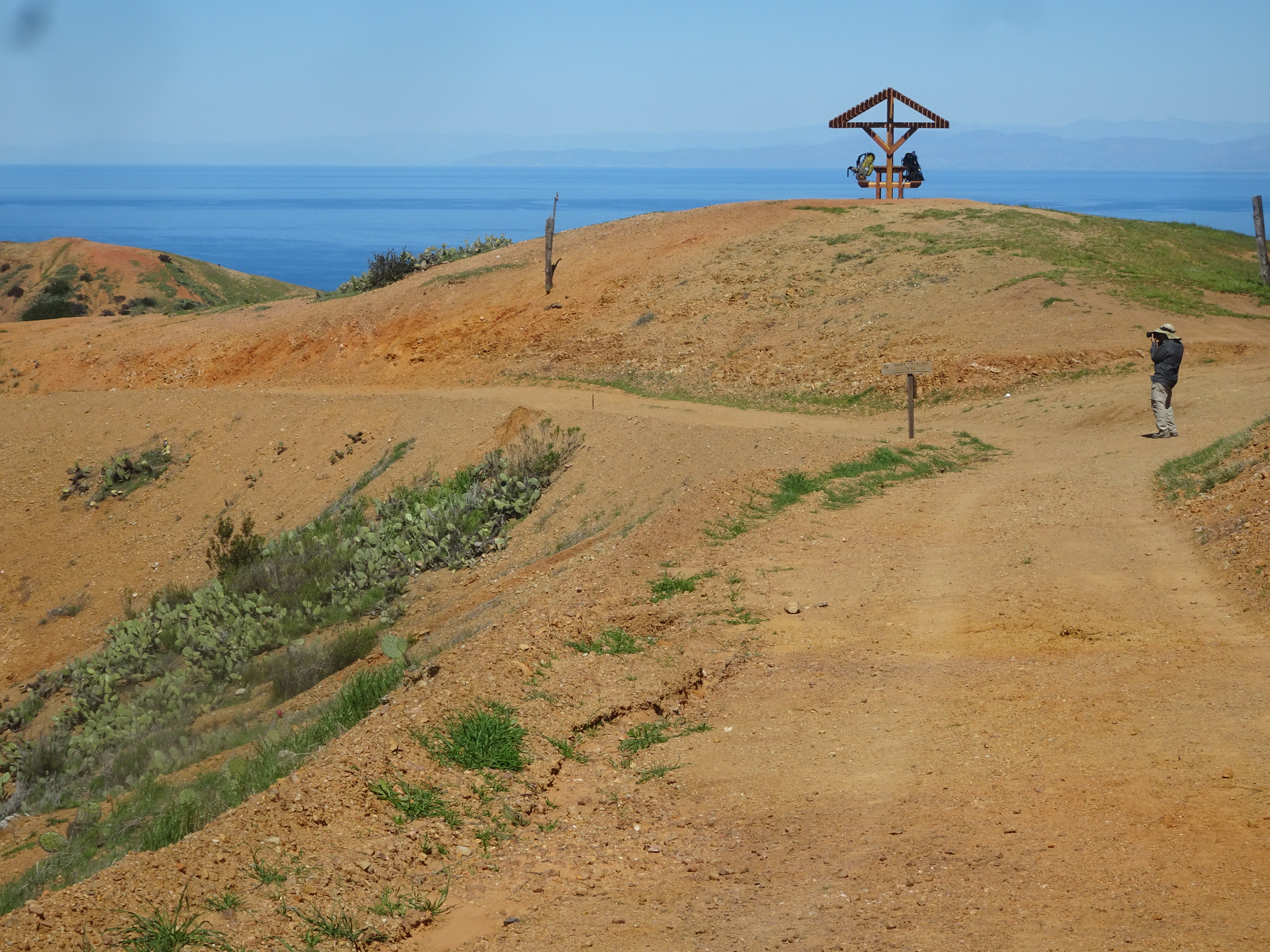
In the distance we see what will be our brunch picnic pavilion. Takes a bit of hiking, but we do get there and we do snack with a nice landscape to view and photo.
 |
 |
 |
 |
While we were eating, two much younger backpackers stopped by momentarily. They took off and we took off. They quickly left us behind, as you can see in the first picture below if you look really hard.
 |
 |
Alan gets a pretty, close-up shot of a butterfly.
 |
So much cactus on the island!
 |
Alan loves to backpack, but loves to swing even more. You just never know what you are going to find along the trail.
 |
 |
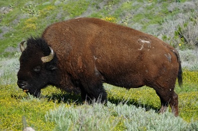
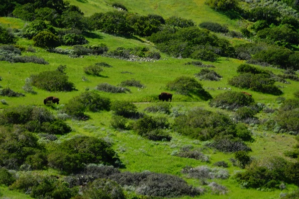
Another picnic table, so we eat lunch, since it has been a whole two hours since brunch! The path gets narrower, but soon leads us past a bison, shown in the third (click on photo and try to find it) and fourth photos below.
 |
 |
 |
 |
We get to the 8 mile marker (we actually started at the 1.5 mile marker trailhead, so have backpacked 6.5 miles). Only 2.7 miles to go to Black Jack Campground, but who's counting? (Bob and Alan are.) It was nice that at the end of almost every mile there was a mile marker. Alan just keeps hiking and hiking while Bob stops, rests and photographs Alan.
 |
 |
 |
 |
 |
 |
Ate breakfast between 6:30 and 7 am.
 |
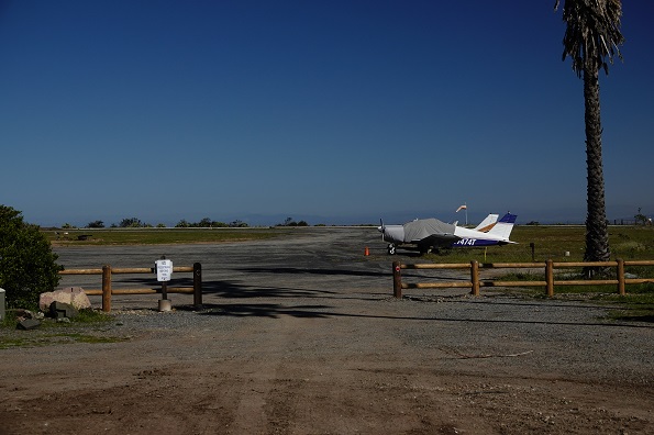
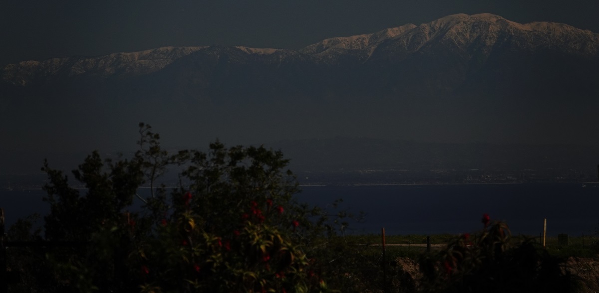
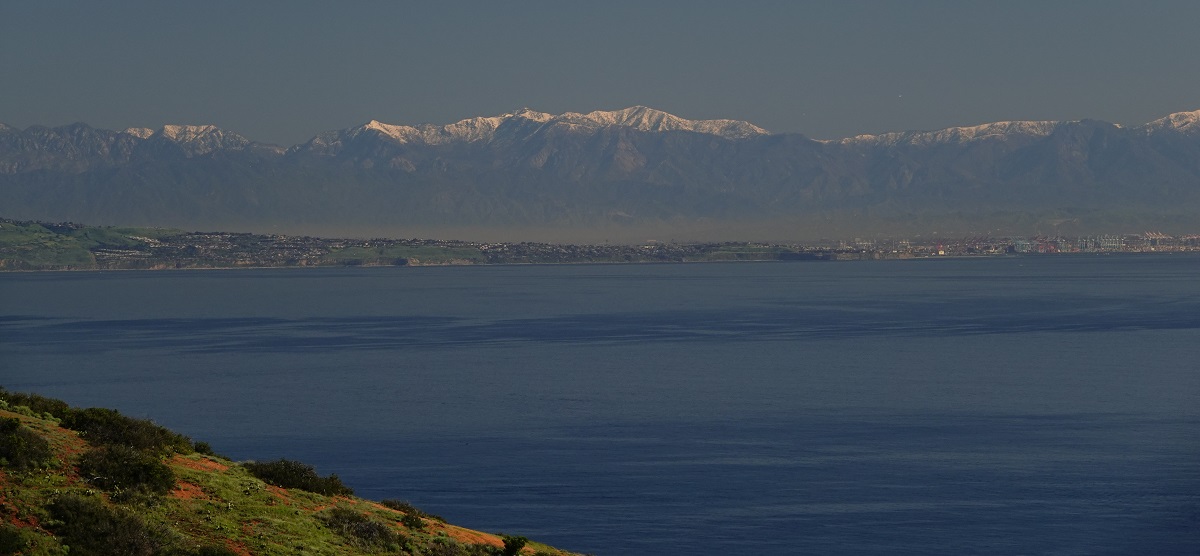
We then hiked to "Airport in the Sky", where there was another, larger breakfast available. We could see the snow-capped mountain peaks rising behind and beyond Los Angeles across the ocean.
 Above by Alan |
 Above by Alan |
 Above by Alan |
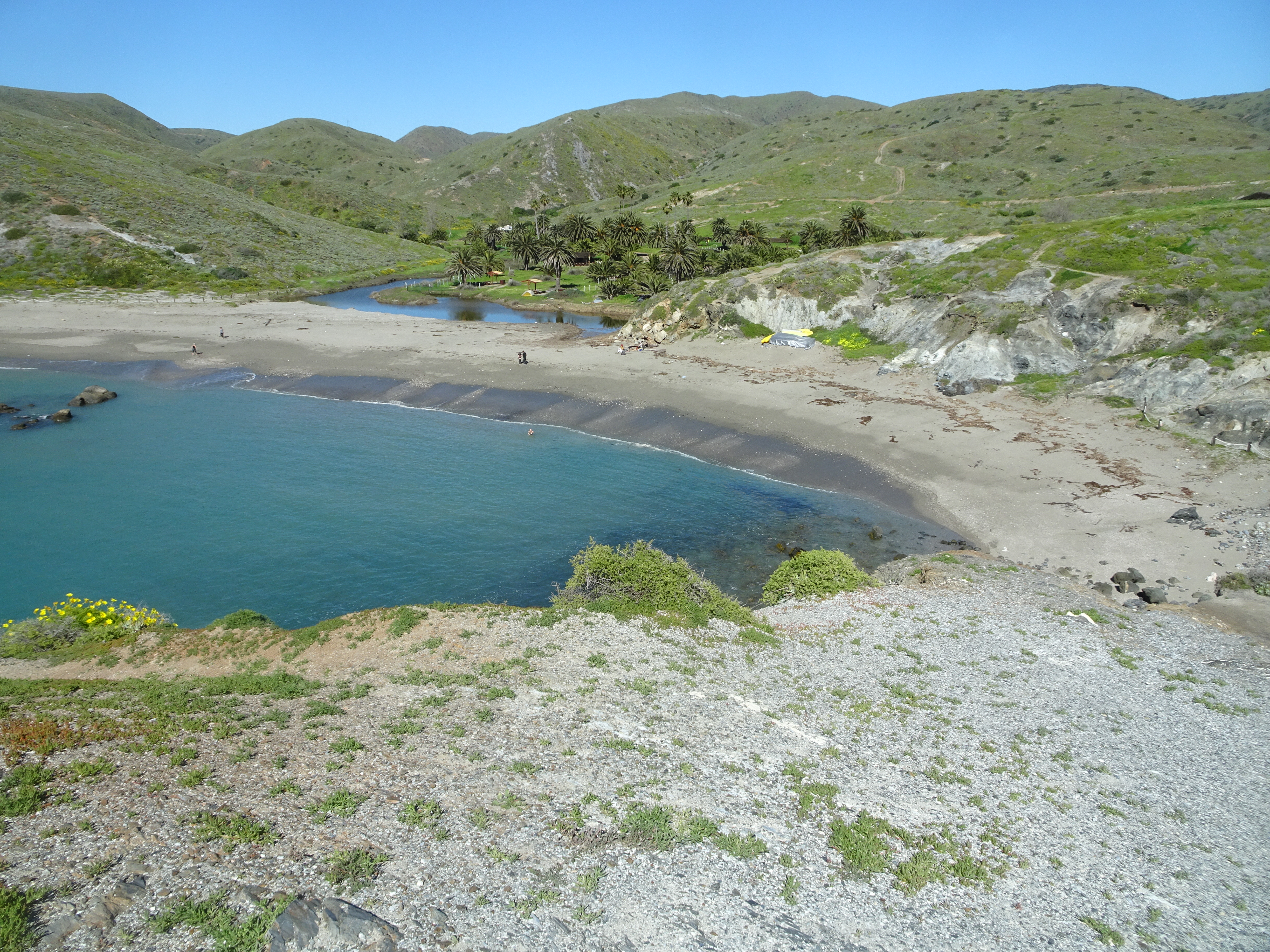
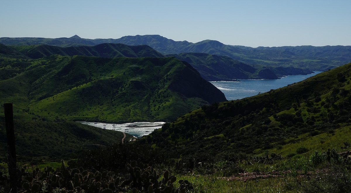
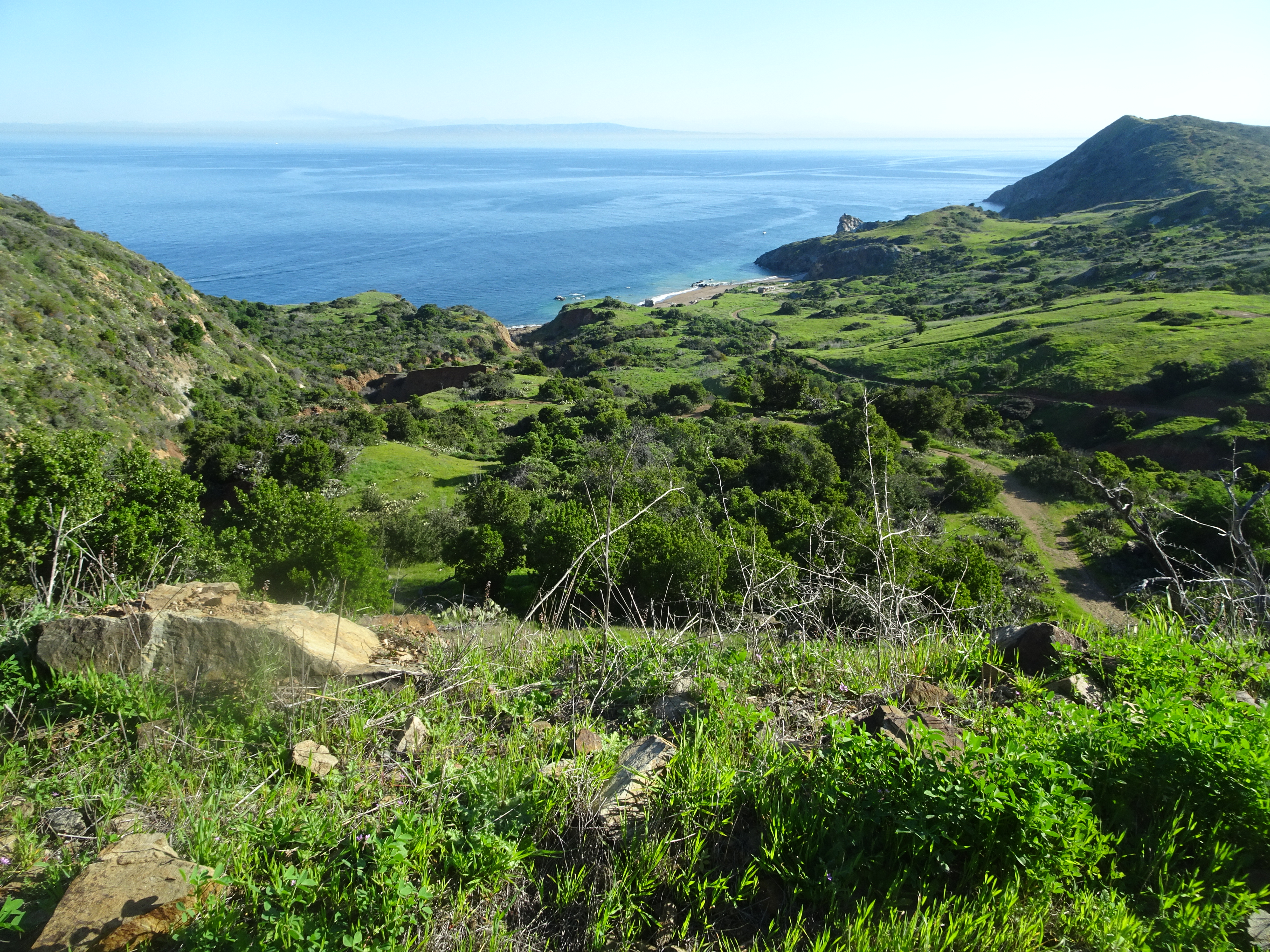
We hiked along ridges, then down to a picnic table for lunch. Saw very few people and hiked down the last couple of miles to Little Harbor Campground where we found that our reserved campsite 12 was the best, right next to a beautiful little beach.
 Above by Alan |
 Above by Alan |
 Above by Alan |
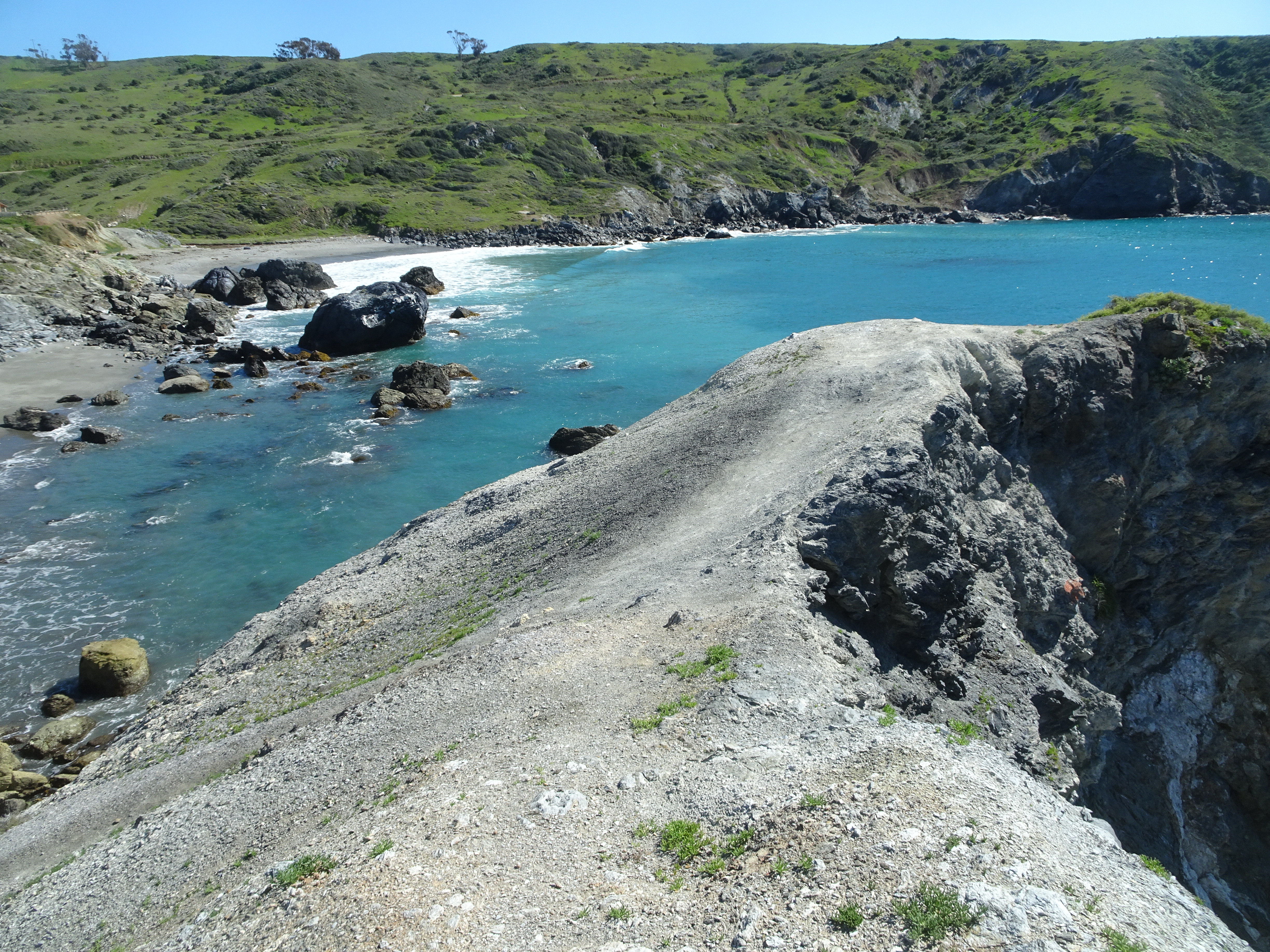
Alan took the opportunity to go for a swim, while Bob climbed some rocks that separated Little Harbor from Shark Harbor so he could take pictures of both harbors. We spoke with two pairs of women who also loved the outdoors, one from Alaska.
 |
 |
 |
 Above by Alan |
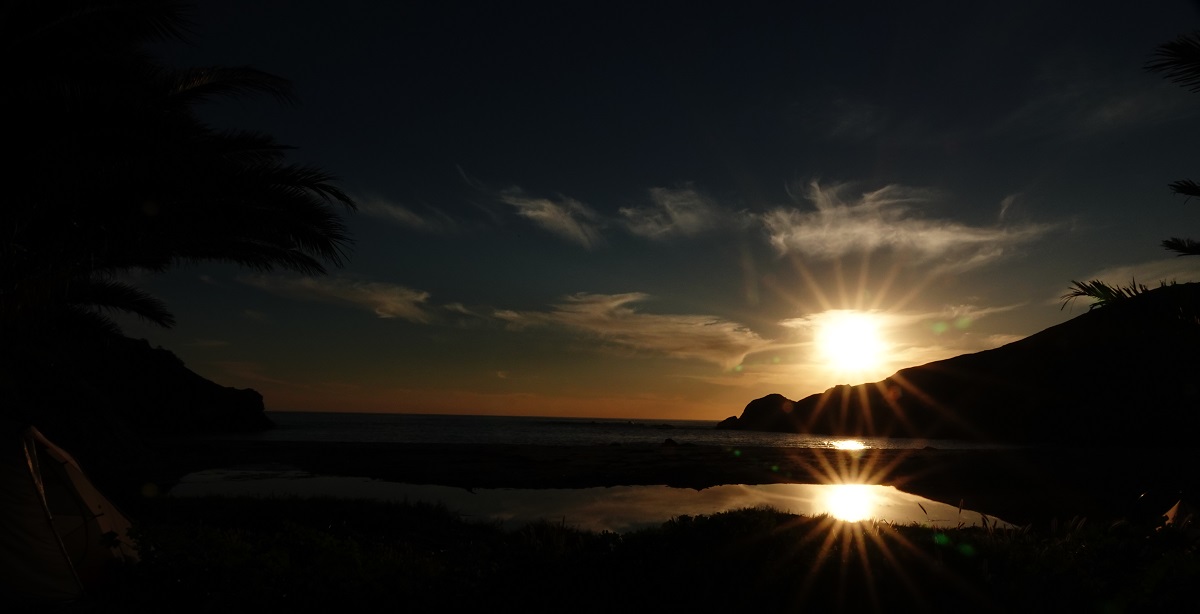
Later came a spectacular sunset as photographed below by Alan.
 |
 |
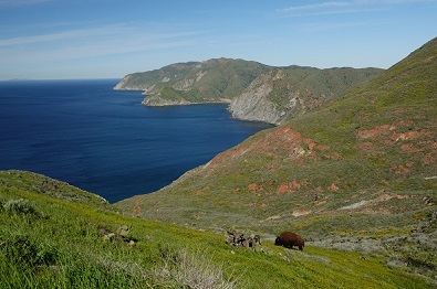
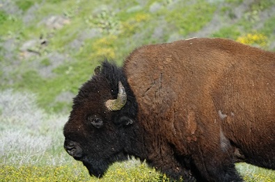
Ate breakfast, then began a steep climb as we went up the mountain separating Little Harbor and Two Harbors campgrounds. We met a woman who warned us of a bison ahead near the trail and, sure enough, we rounded a bend and there it was grazing not too far from the trail. So we stopped and Alan took these pictures.
 |
 |
 |
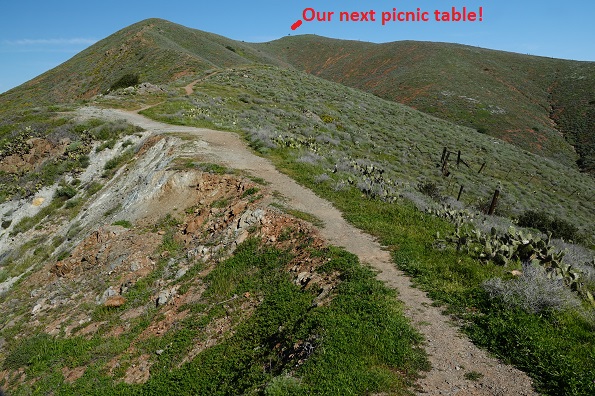
Soon after the path ran along a very, very steep incline and looked like it may have had to be moved back away from the fall off in the past. We thought it would be really nice not to have an earthquake at this point. As Alan's pictures show, we could see our next picnic table far in the distance.
 |
 |
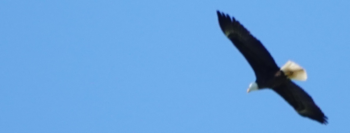
During this hike we also saw bald eagles, lots of ground squirrels and lizards, and Alan saw a fox. Alas, we saw no rattlesnakes the entire trip in spite of many dire warning signs. Alan took the following photograph of an eagle soaring way high over our heads.
 |
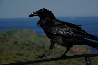
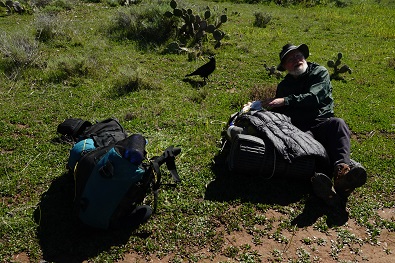
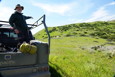
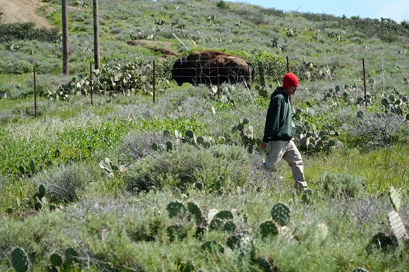
A while later, just as we reached the summit, we met a young man in a pick-up truck who told us to meet him at the gate a bit down the trail ahead and to stop there. Turns out he and others were herding four bison back into the wilderness through that gate and it was not safe for us to be near them.
We did go over to his truck after going out the gate. There was a large raven who seemed most unconcerned about us as it walked around on the ground and up on the truck. The driver told us he had to keep the windows closed because otherwise the raven would go into the truck looking for food. In fact, the raven did get on top of the truck just above the window and look in. The following photos by Alan capture the crow, the bison, the driver/herder and Bob (who fed the crow before climbing in the truck).
 |
 |
 |
 |
 |
After communicating with other herders, the driver asked us to put our packs and ourselves in the back of his truck so he could drive us down a ways, because there were still bison outside the gate on the trail. We saw two bison go through the gate and 1 choose not to. So we got a ride down the hill to about 1/2 mile from Two Harbors.
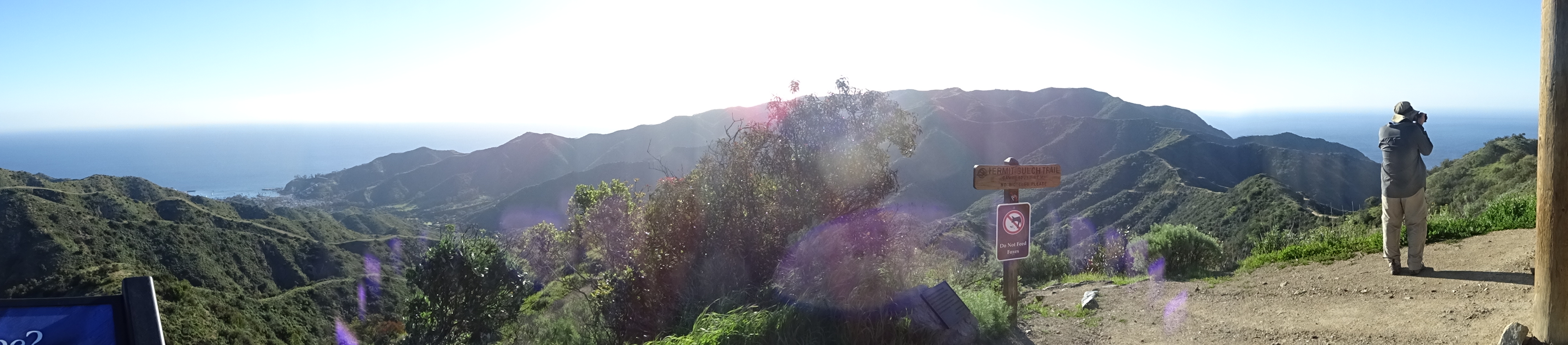
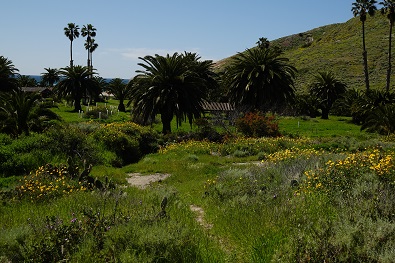
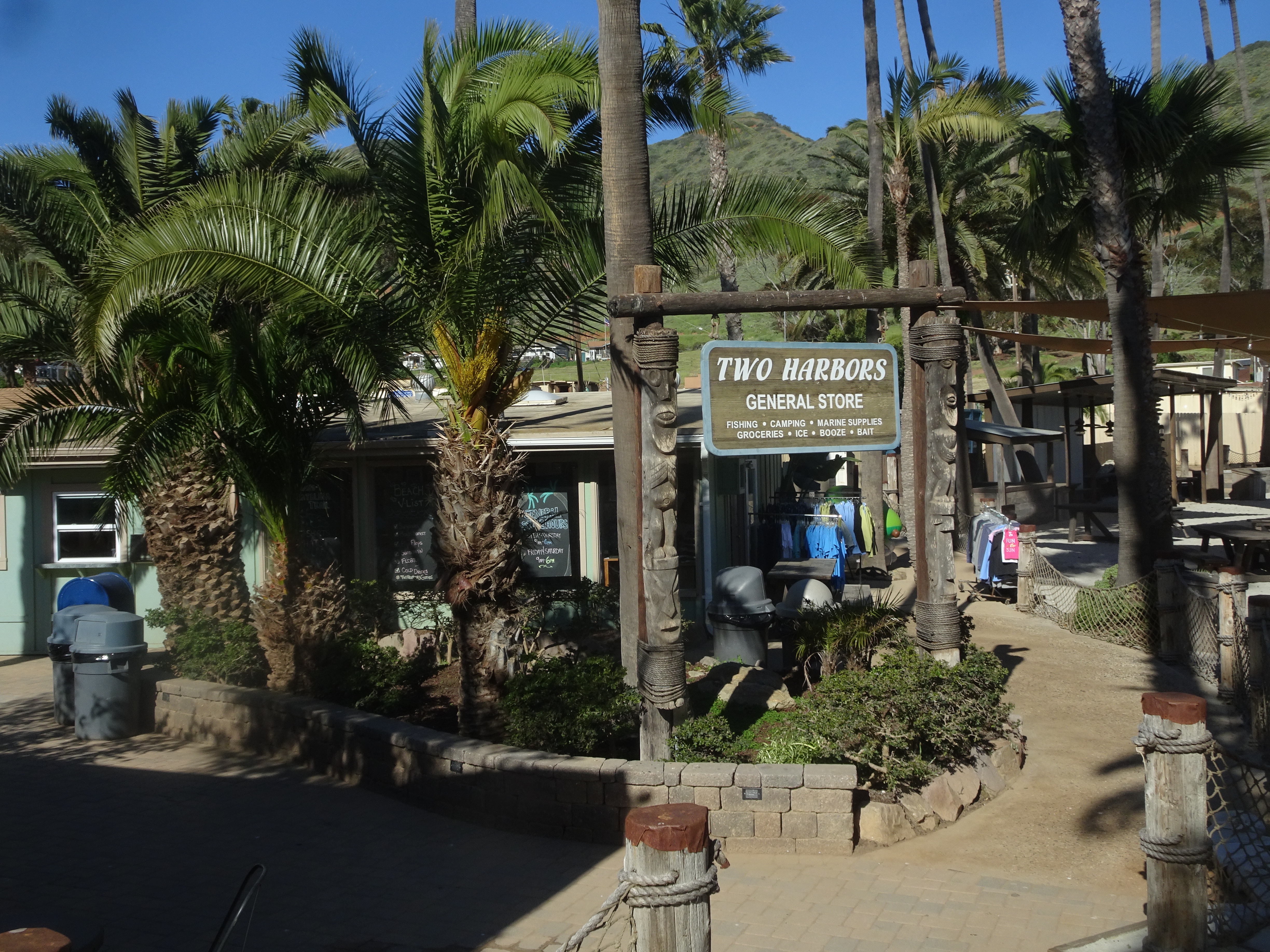
Once we got to the road between the two harbors, there was no indication where the campground was located. So we turned down the road to the southern harbor. Soon met a guy walking back from the harbor who said he had seen no campground down there. We turned and headed to the northern harbor and met some guys who told us we would find a campground sign if we kept going. We did find the sign and followed it for a ways until finally finding the campground. A ranger told us we needed to register at the information desk, which was back in town.
So we left our backpacks and walked back into town and registered. We also inquired as to whether we would be able to get the 11:30 ferry instead of the 4:30 ferry (we would be returning here in a few days to head back), to which the answer was yes.
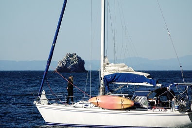
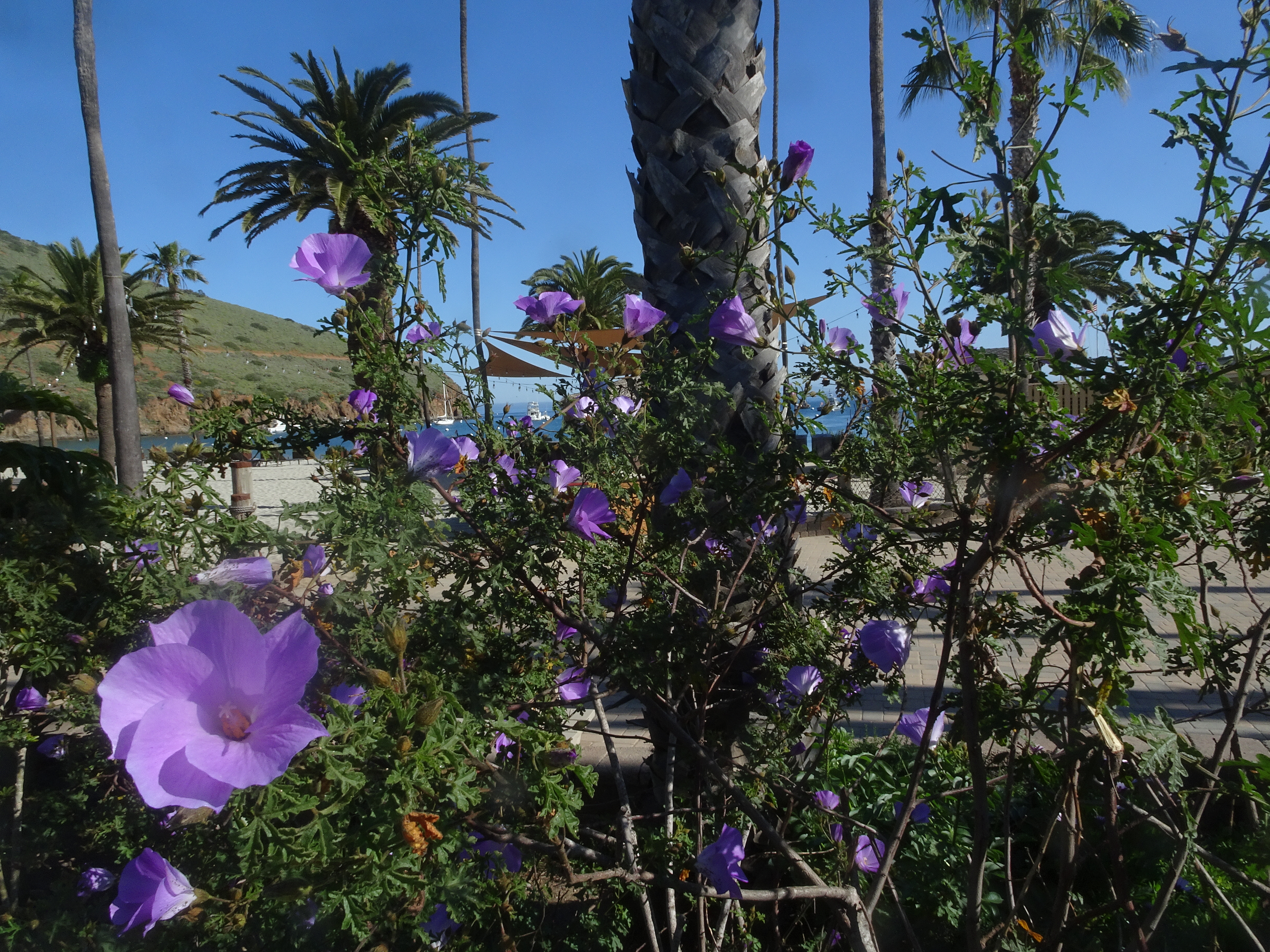
As Alan's pictures below show, there was activity in the harbor here as there was at all of the harbors.
 |
 |
 |
Today's video:
 |
We stopped at the Two Harbors information center to get keys for the water/firewood lockers at Parsons Landing Campground, our next destination where we would stay two nights before returning to Two Harbors.
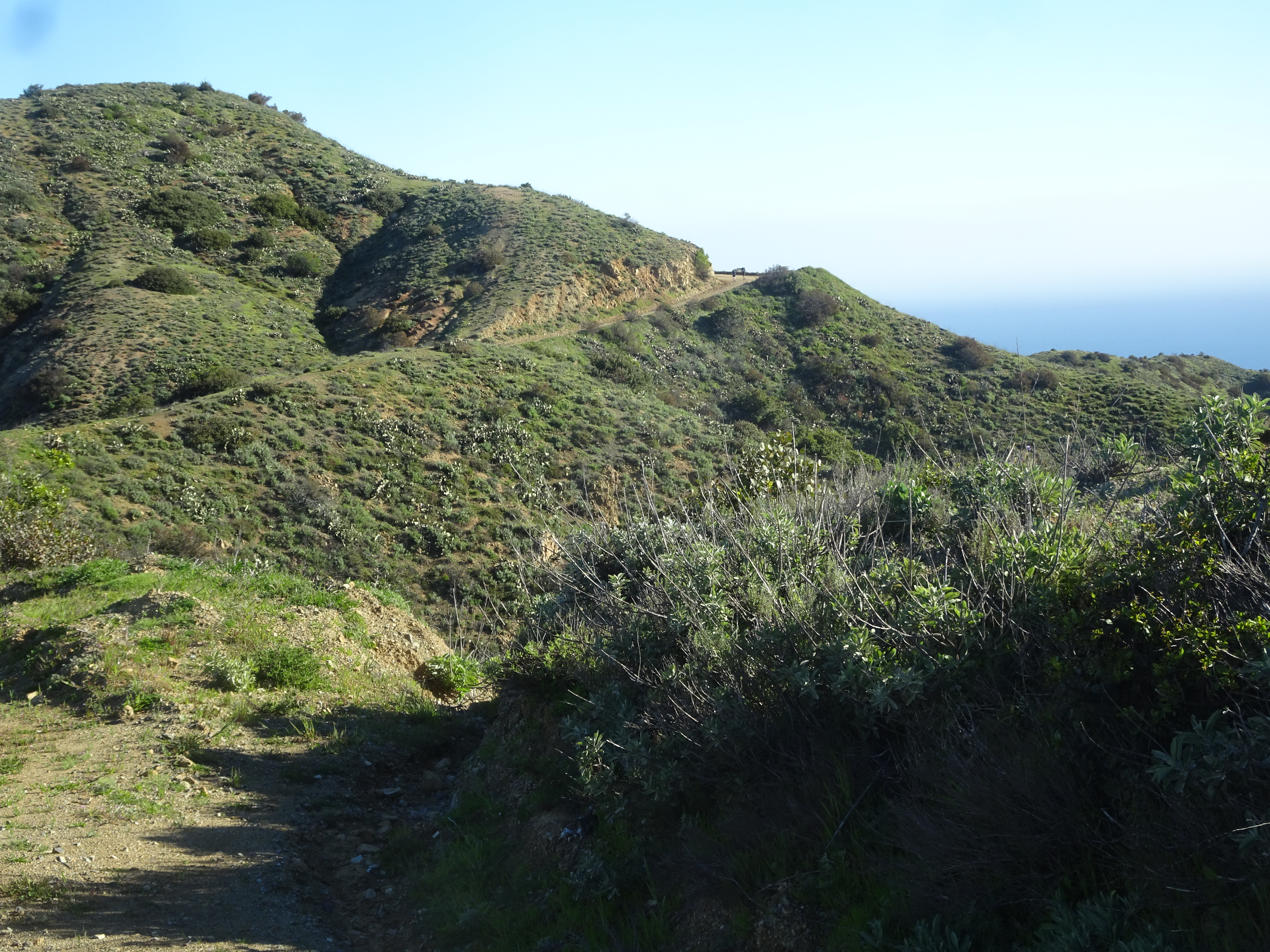
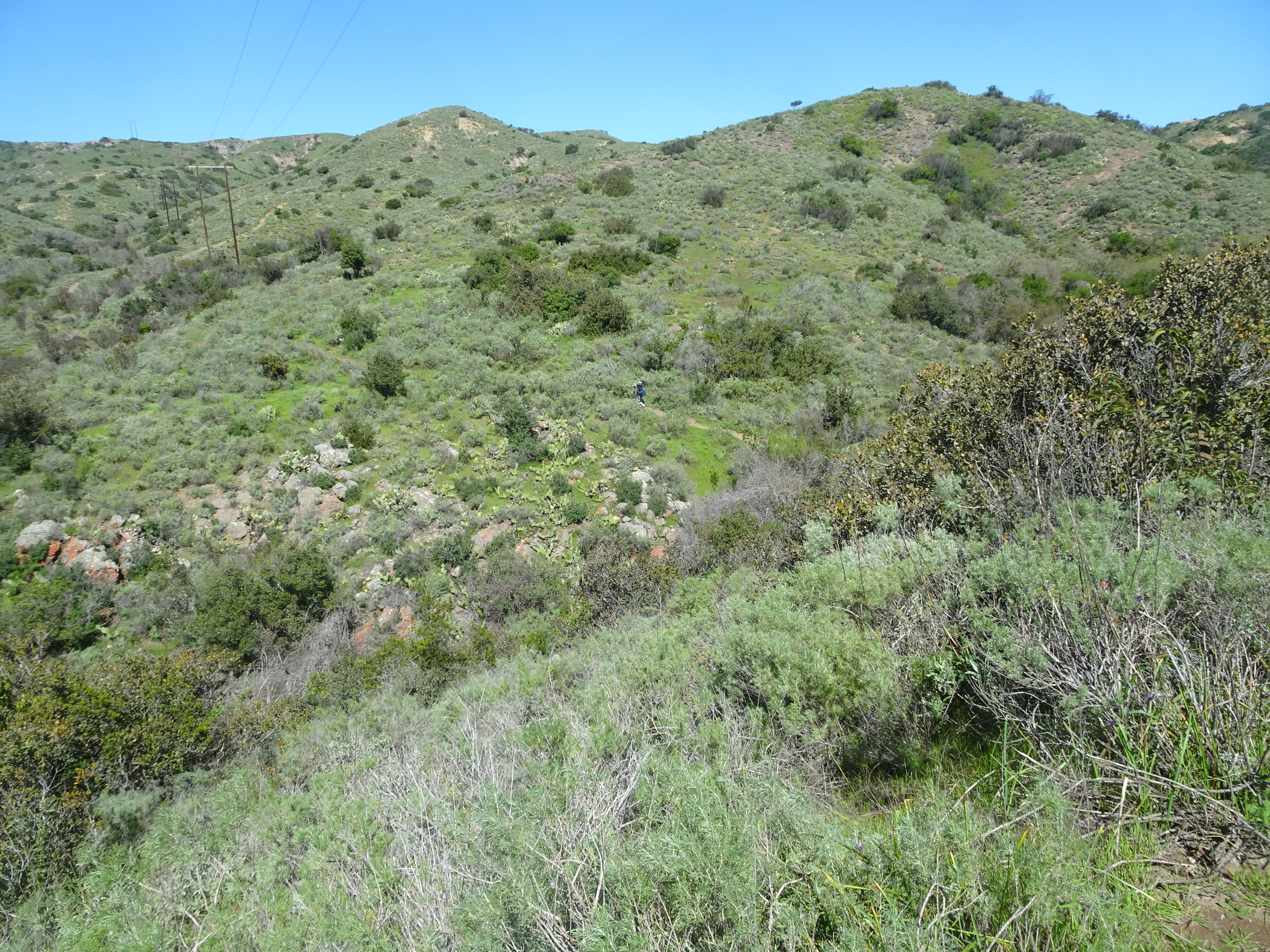
Today would be our steepest climb of the backpacking trip. We climbed up and up and up a very steep trail with, as usual, almost no switchbacks. The views made up for it, as the following photos by Alan show.
 |
 |
 |
 |
At the top is a picnic table, but there were heavy winds on the ridge. This is where Bob realized one of his gloves had fallen out of his pocket, but he walked back a bit and did not find them. Other backpackers who passed us said the glove was on the trail about 1.5 miles back. No one picked it up, as I would not have, because they did not know which direction the hiker who lost them was heading.
 |
 |
 |
One group who passed us said they were not only going to Parsons Landing today, but also returning to Two Harbors today.
We started down from the top and the trail was even steeper going down than the one we had been on coming up. And there were places along the dirt road where it had been badly eroded by the recent rains. It was difficult, but we were successful, without either of us falling down. We did talk to others at the campground who had in fact fallen, thankfully without injury.
Bob realized that the group going all the way back to Two Harbors today, could tell hikers coming to Parsons Landing tomorrow from Two Harbors about the lost glove that we would still be there. So for the last half mile or so Bob really speeded up and in fact caught up with the group at Parsons Landing. They said they were surprised Bob could have caught up with them. They agreed to pass on the word about the glove.
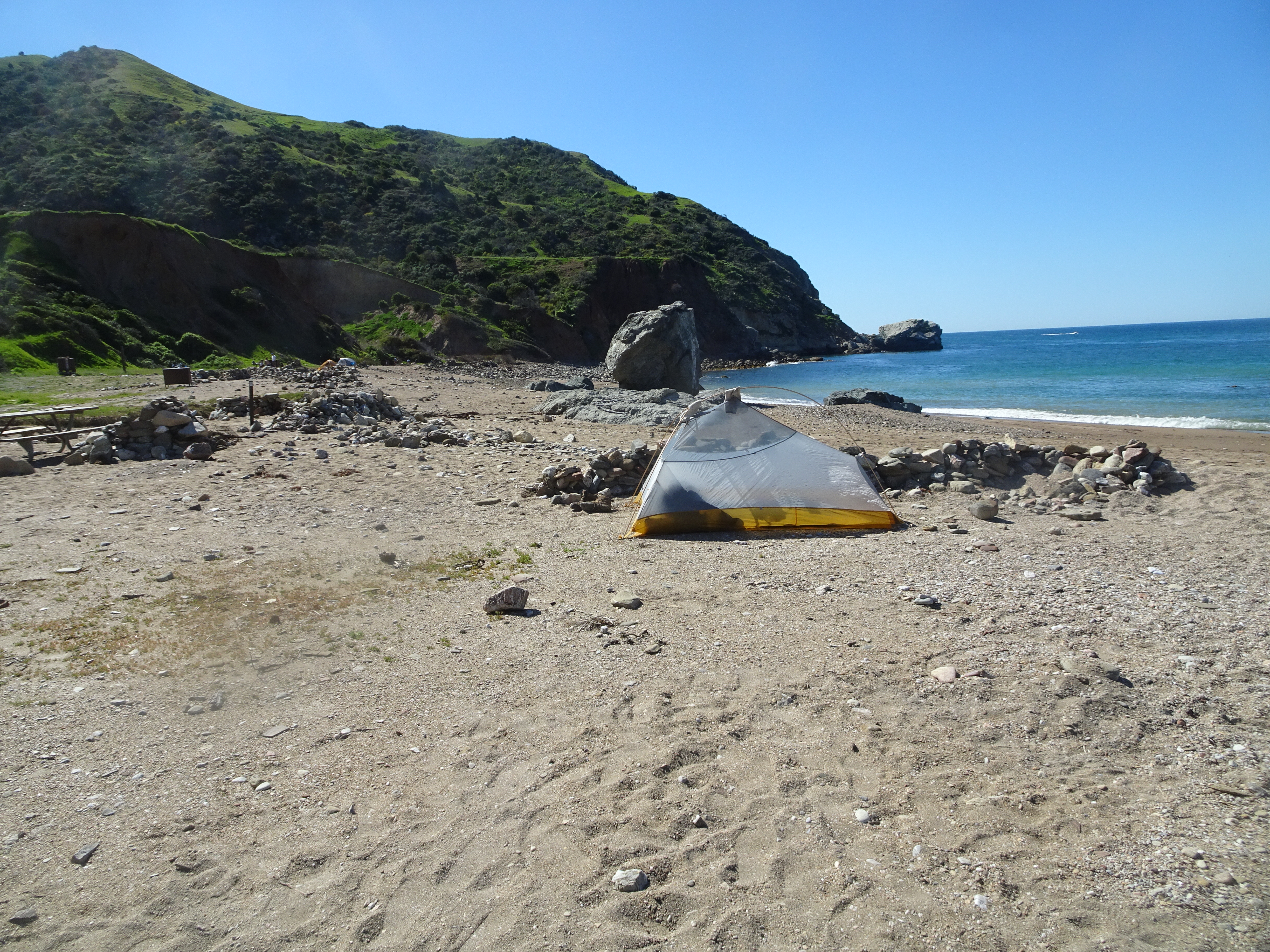
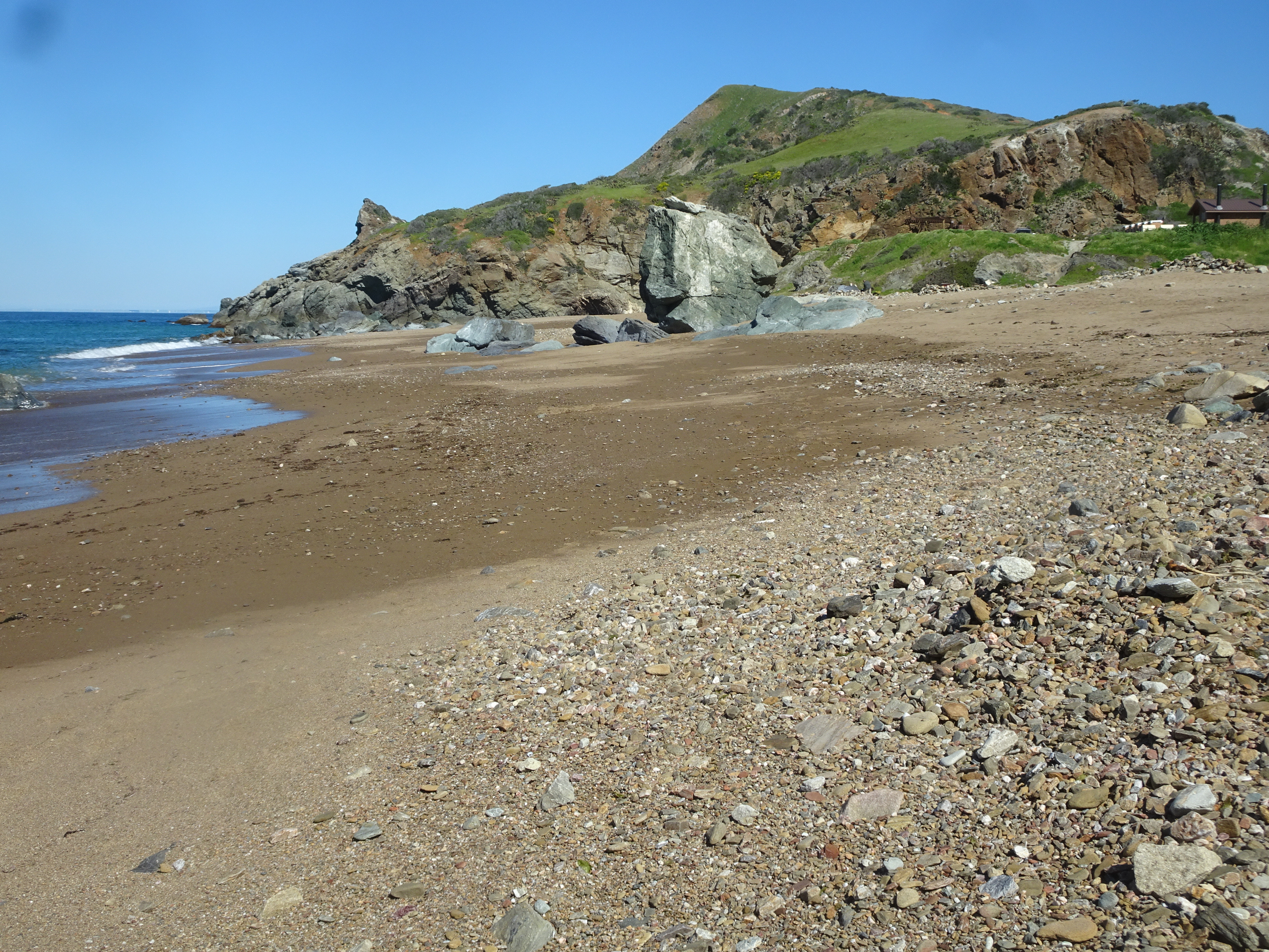
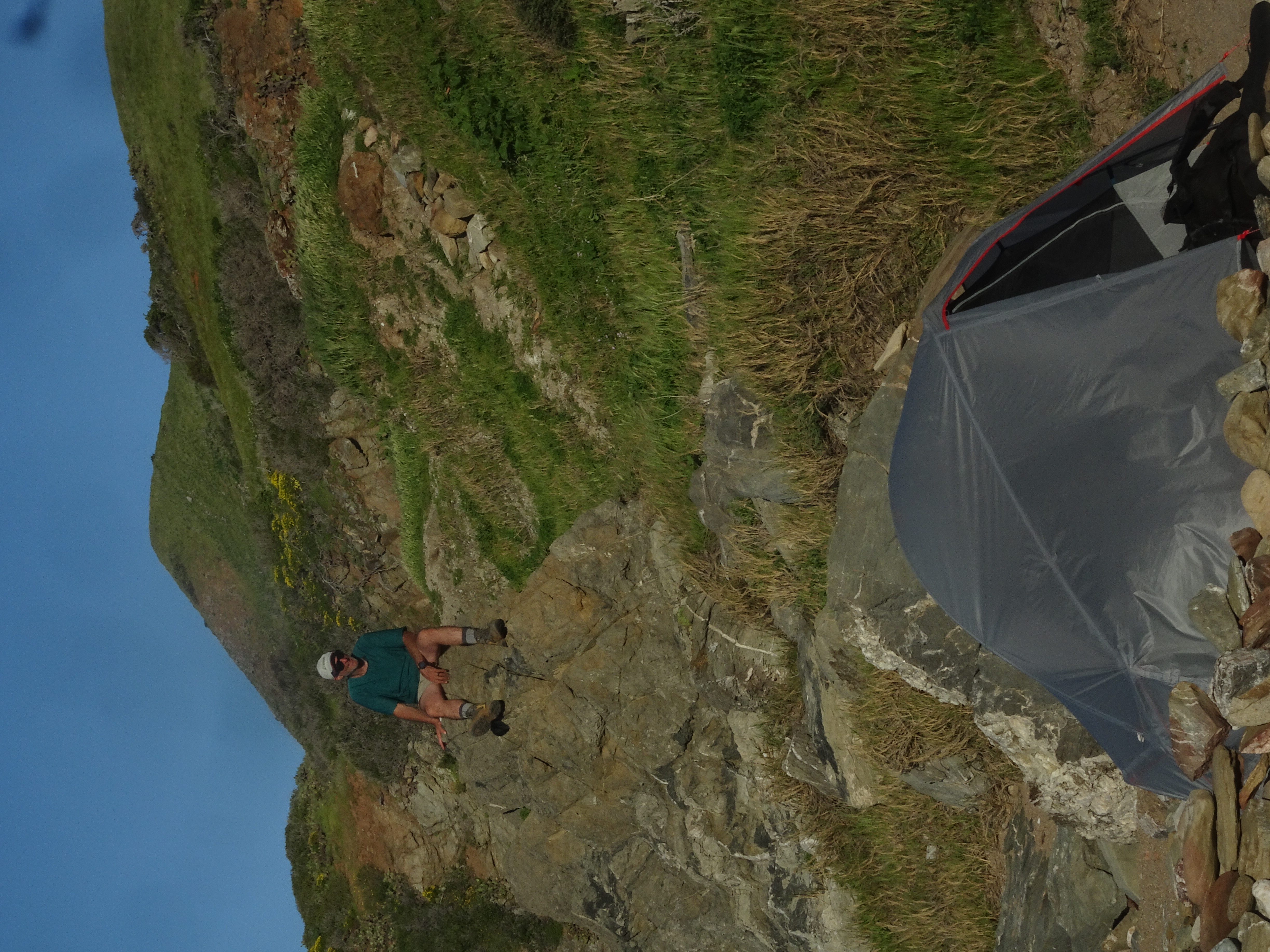
Our campsite was on the beach and of course the setting was beautiful. When we first arrived there was a large group of young men and women at our picnic table and around the campsite, along with their equipment. Since most of the campsites, including this one, did not have numbers, it took us a bit to realize they were in fact at our site. As soon as they realized, they apologized and said they lived on the island and were taking the day off from work to swim and scuba dive. They all moved down the beach and we set up camp.
 |
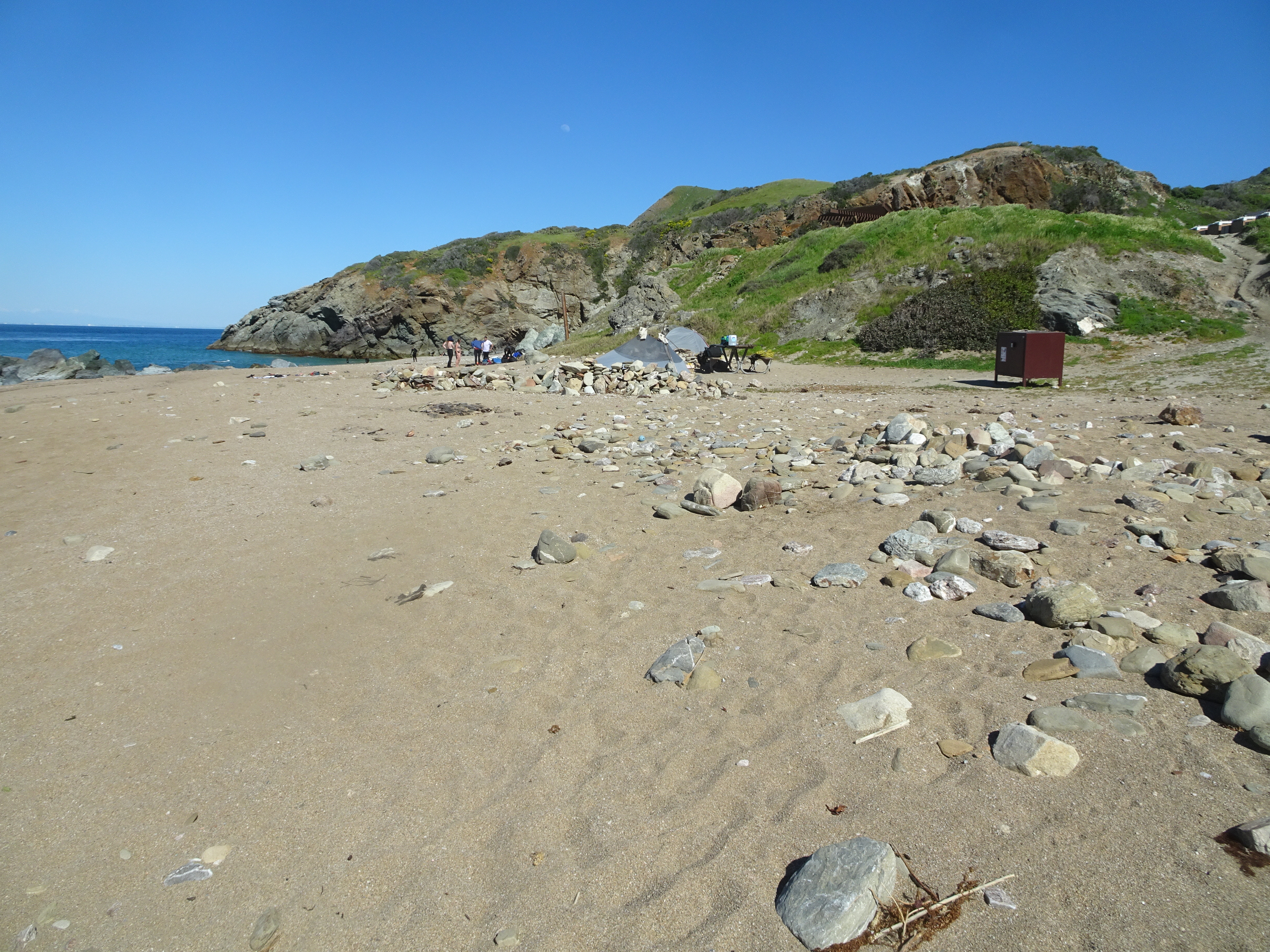 |
After setting up camp we played on the beach and Alan took a swim.
 |
There was a boulder in the middle of the beach that did not look very climbable from either side as the two photos below show, yet two women did in fact climb up barefooted, also as shown.
 |
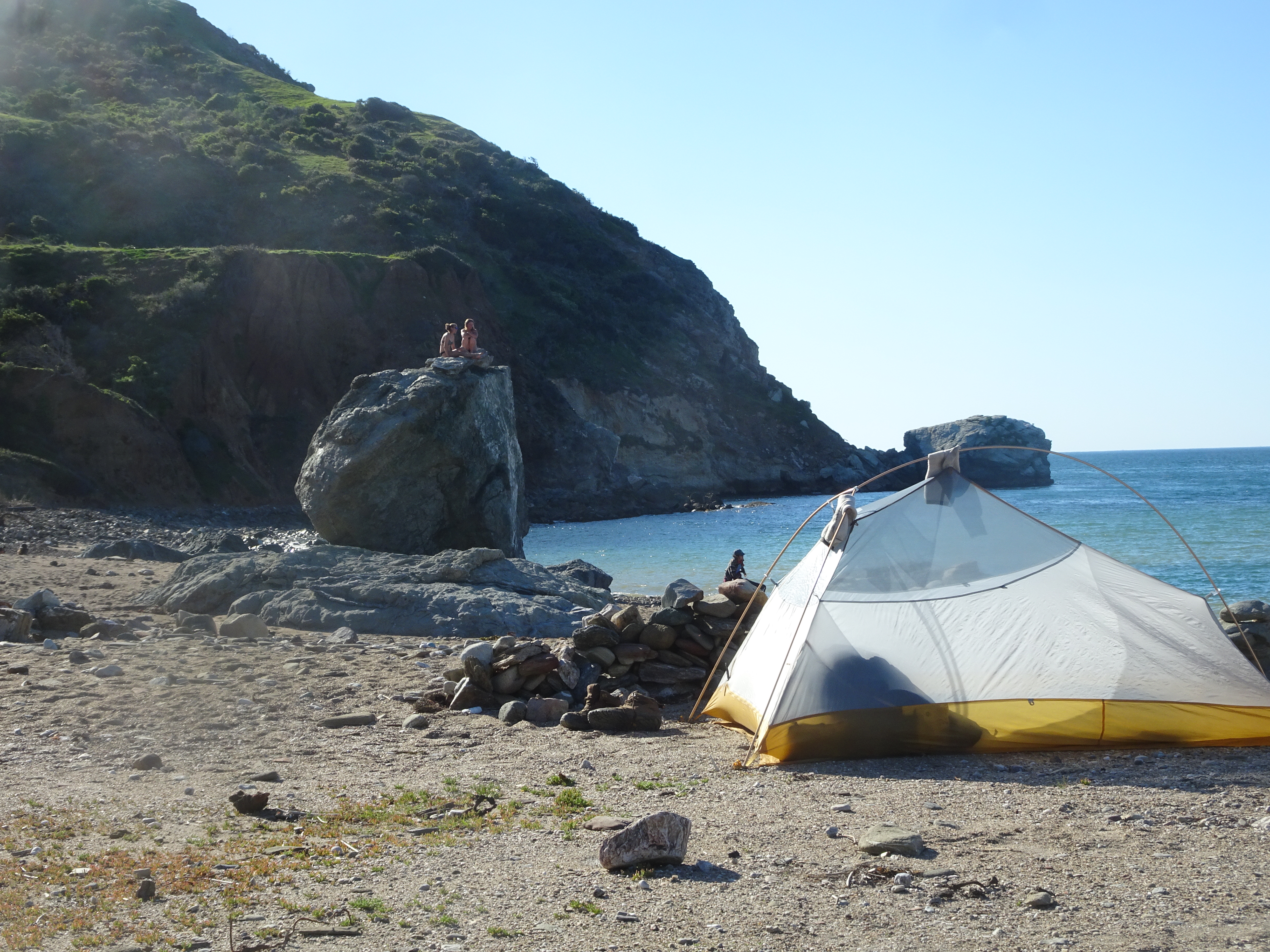 |
Later, we both ate dinners Alan had brought, along with dried fruit and nuts Bob had brought. And with packets of honey Alan brought.
Another wonderful day!
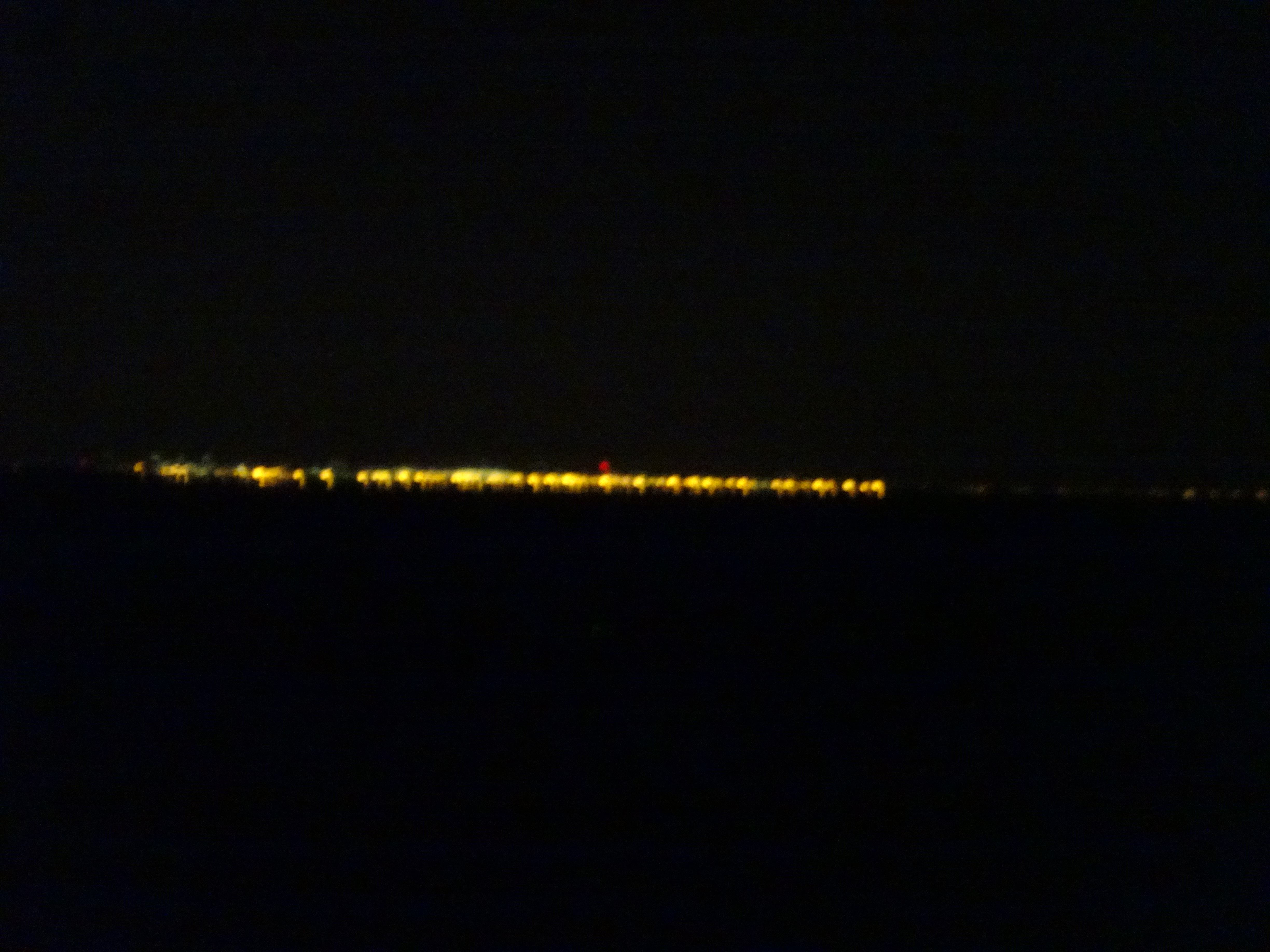
Late at night Bob got up and looked across the ocean to the shore near Los Angeles and it was completely lit up as shown below.
 |
 |
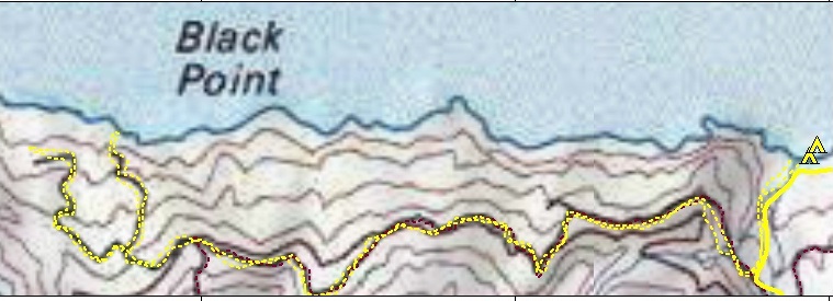
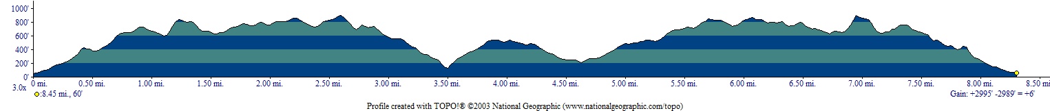
Map and Elevation profile for today's daypack hike (understates distance):
 |
 |
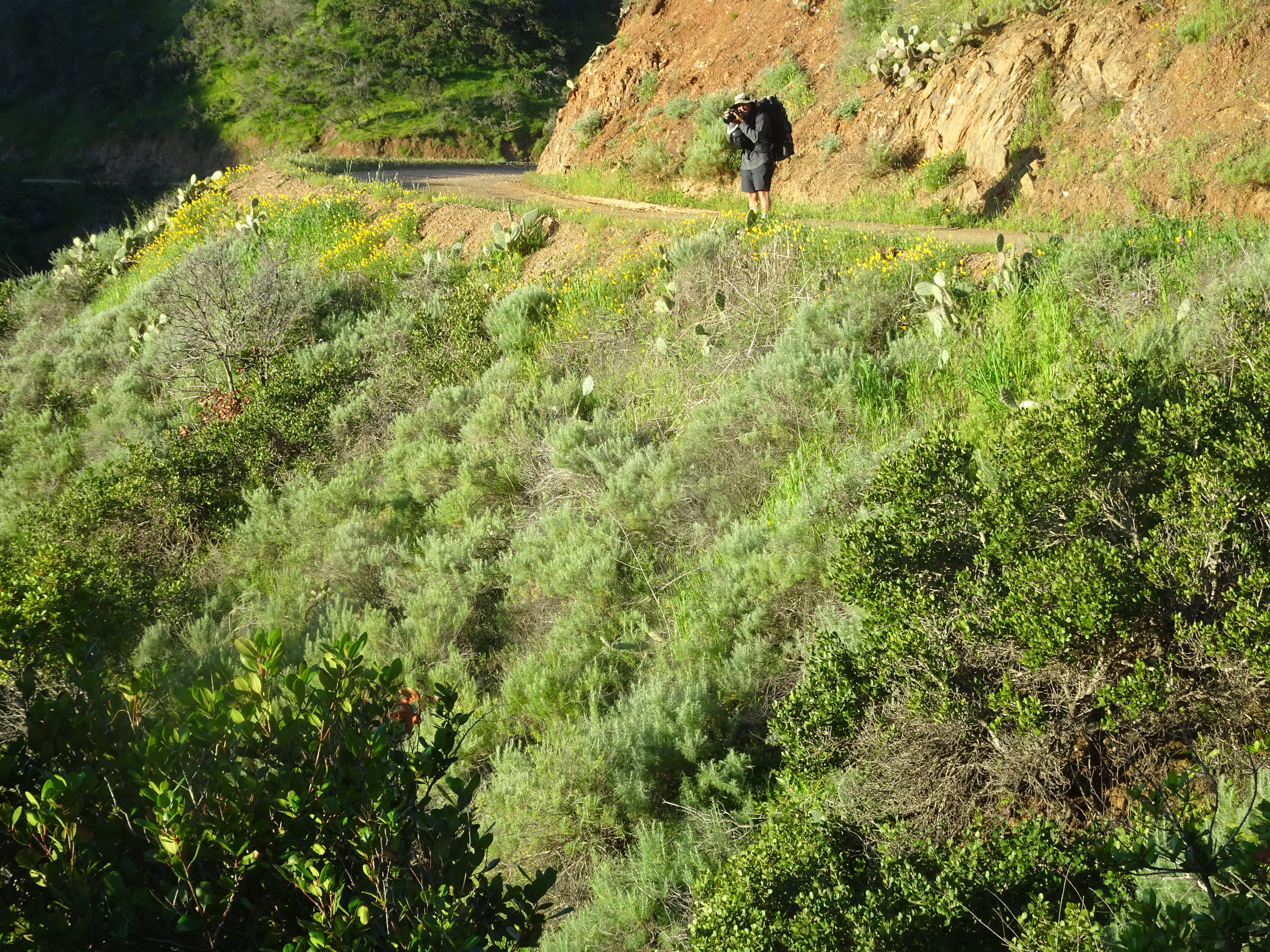
We headed to Starlight Beach with daypacks, a 9 1/4 mile roundtrip. Overall it was a pretty easy hike and very beautiful, during which we saw squirrels, quail, lizards, hummingbirds, butterflies, moths, and a hummingbird moth, but no bisons or foxes or rattlesnakes.
As we were first starting out we came to a junction choice. One way was shorter but started with a collapsed and muddy road which we decided was not a good option. The other way was longer but less steep and safer, so we took it.
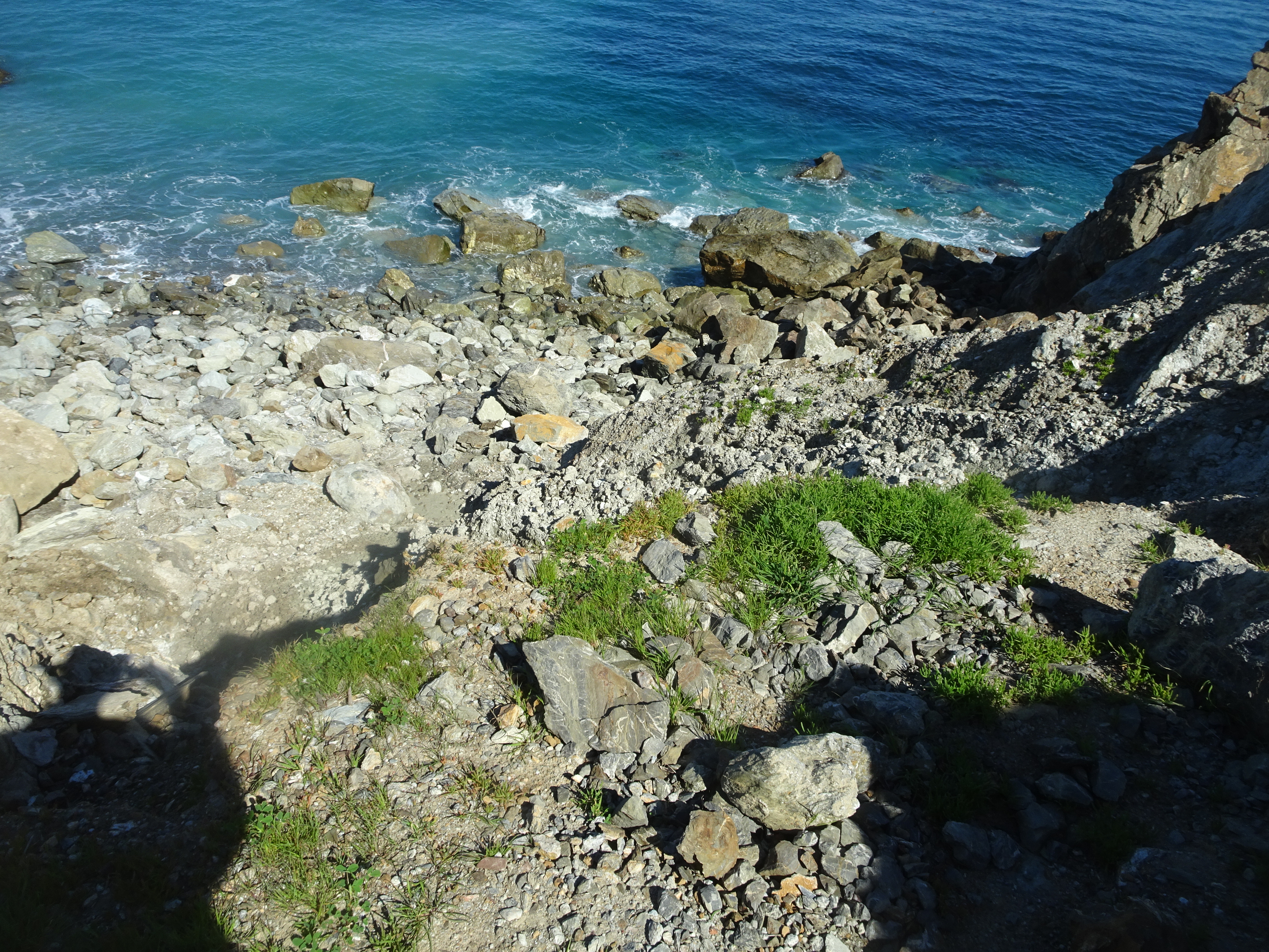
As we approached Starlight Beach there was a welcome sign and about 15 feet beyond that a collapsed path and no way down to the beach. The rains of the previous week had really had an effect.
We hiked back up the trail to a nearby junction with a private road and went back down towards shore. This road led to another beach near Starlight, but ended at a grassy knoll that looked down on the beach.
 |
 |
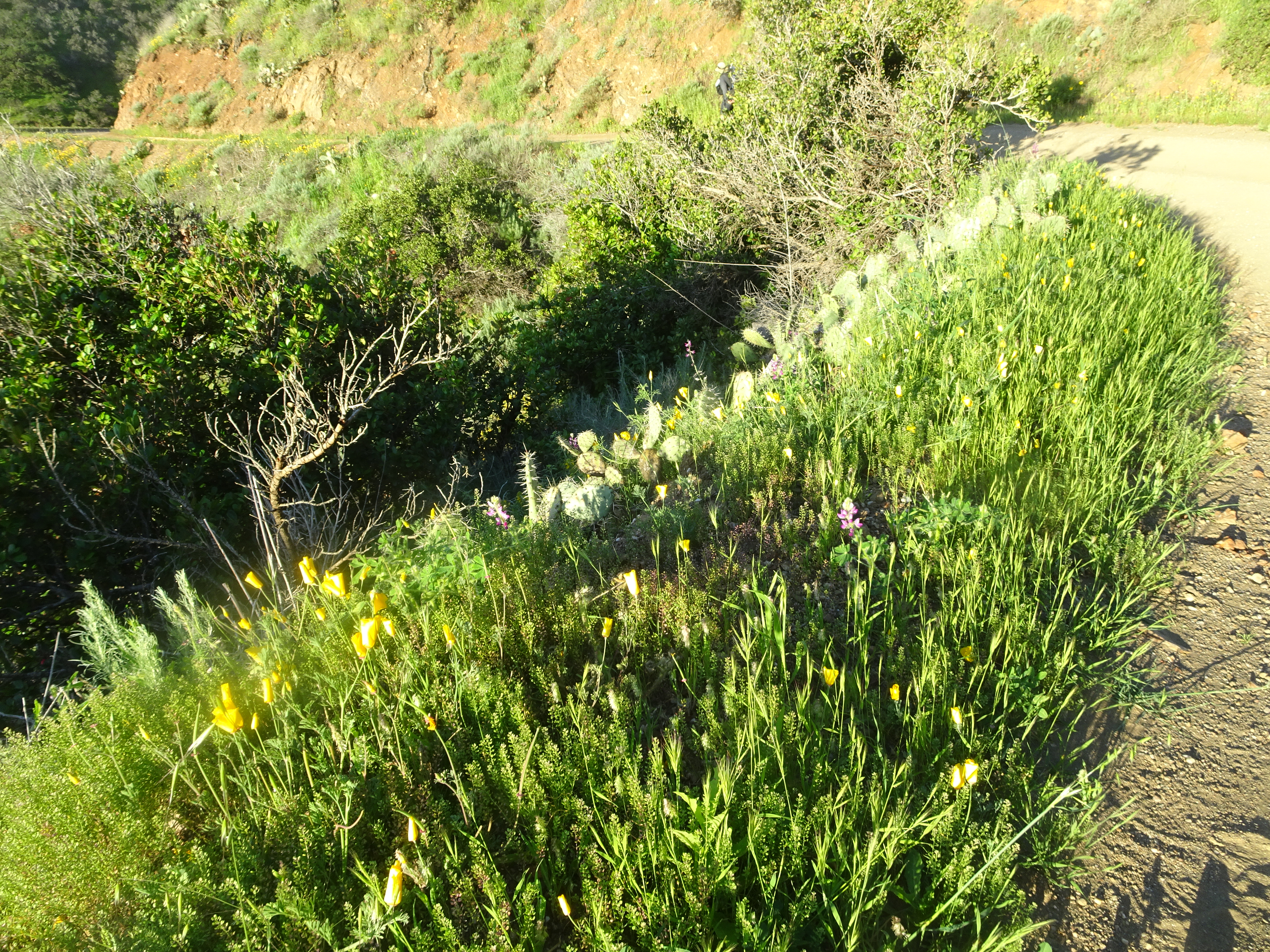
The road was obviously rarely used and in fact was completely covered in places with flowers, as shown below.
 |
And Alan got a nice shot of a lizard.
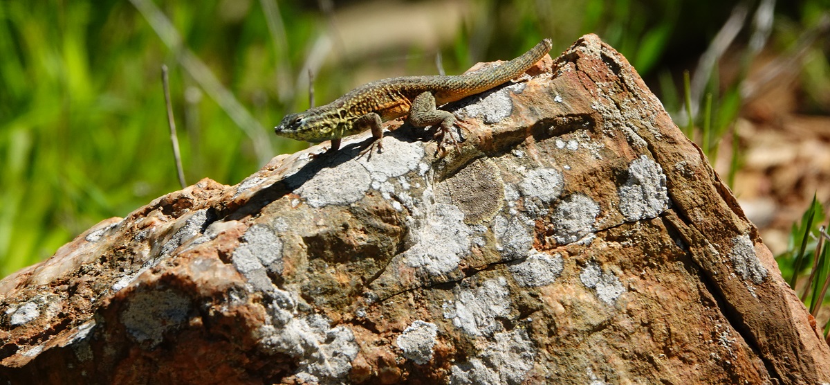 |
We hiked back to Parsons Landing beach, this time near the end taking the shorter route that we had decided not to take going out and climbed up a short, muddy bit to the trail junction. Going up looked and was easier than coming down would have been. The following two pictures by Alan show first what the muddy bit looked like in the morning when we decided not to take it, then in the afternoon when we did come back through it.
 |
 |
Back at camp Bob went up to the lockers and brought back both a new set of firewood and 2.5 gallons of water. Bob did not make a big deal about how he did this all on his own while Alan simply sat at the picnic table while his friend who was 14 years older and well into his 70's had to carry this massively heavy load down all by himself, because Bob is just not that kind of guy. [Ok, in point of fact, Bob wanted to do it and it was not very heavy.]
 |
 |
At this point we had two loads of firewood with no intention of making a fire, so Bob walked to the next campsite over and asked if they wanted one load (they did) and walked to the next campsite and asked the woman there (Rosie, as it turned out) if she wanted one (she did).
When Rosie came over to get get her firewood all three of us got into an extended conversation in which we learned Rosie sold on Ebay as Alan did. Rosie's boyfriend is a mountain climbing guide just finishing up a mountain ice climb in Chile before returning to Idaho where they lived.
Bob and Alan decided to go to bed very early in order to get a 5 am start on their backpack to Two Harbors so they could get the 11:30 AM ferry back to San Pedro.
 |
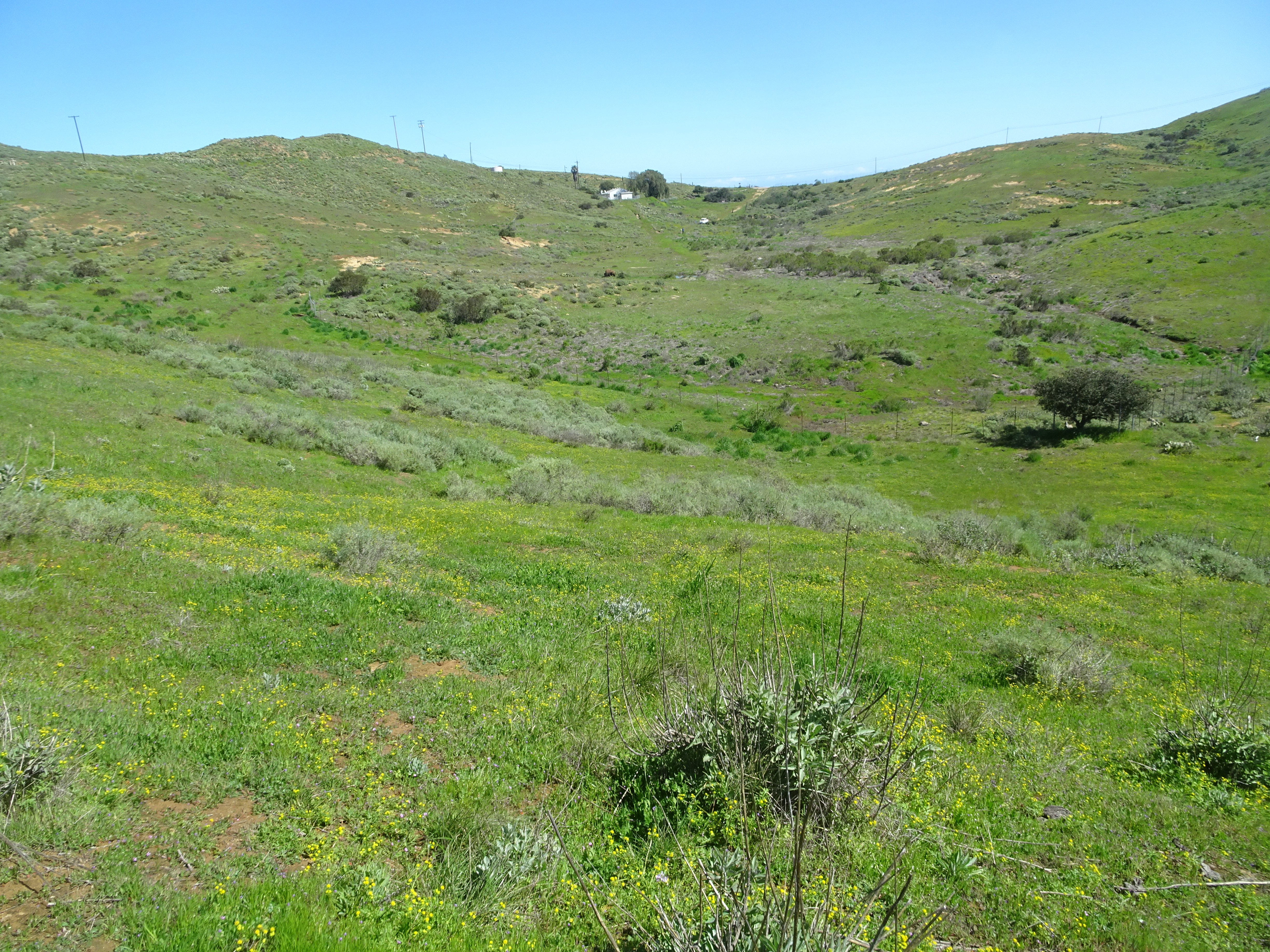
Backpacked from Parsons Landing to Two Harbors, about 8 or 9 miles, on the most level, easiest path (actually a dirt road most of the way) of the trip. Most of time we were walking above the shore and passed around several small, mostly private, coves. As with the rest of the island, there were lots of flowers and cacti.
 |
 |
 |
 Above by Alan |
 Above by Alan |
We started by 5:30 am and got to the harbor around 10 am.
|
The ferry was not due until 11:15 and in fact did not arrive until around noon. We converted our 4:30 pm ferry tickets to the 11:30 am ferry ($5/ticket conversion fee). Bob asked about his missing black glove at the information desk, but no one had turned it in.
Then Bob and Alan went souvenier shopping, ate breakfast at a local restaurant after eating some fruit from a local General Store, and stood on the pier waiting for the ferry to arrive.
 |
 |
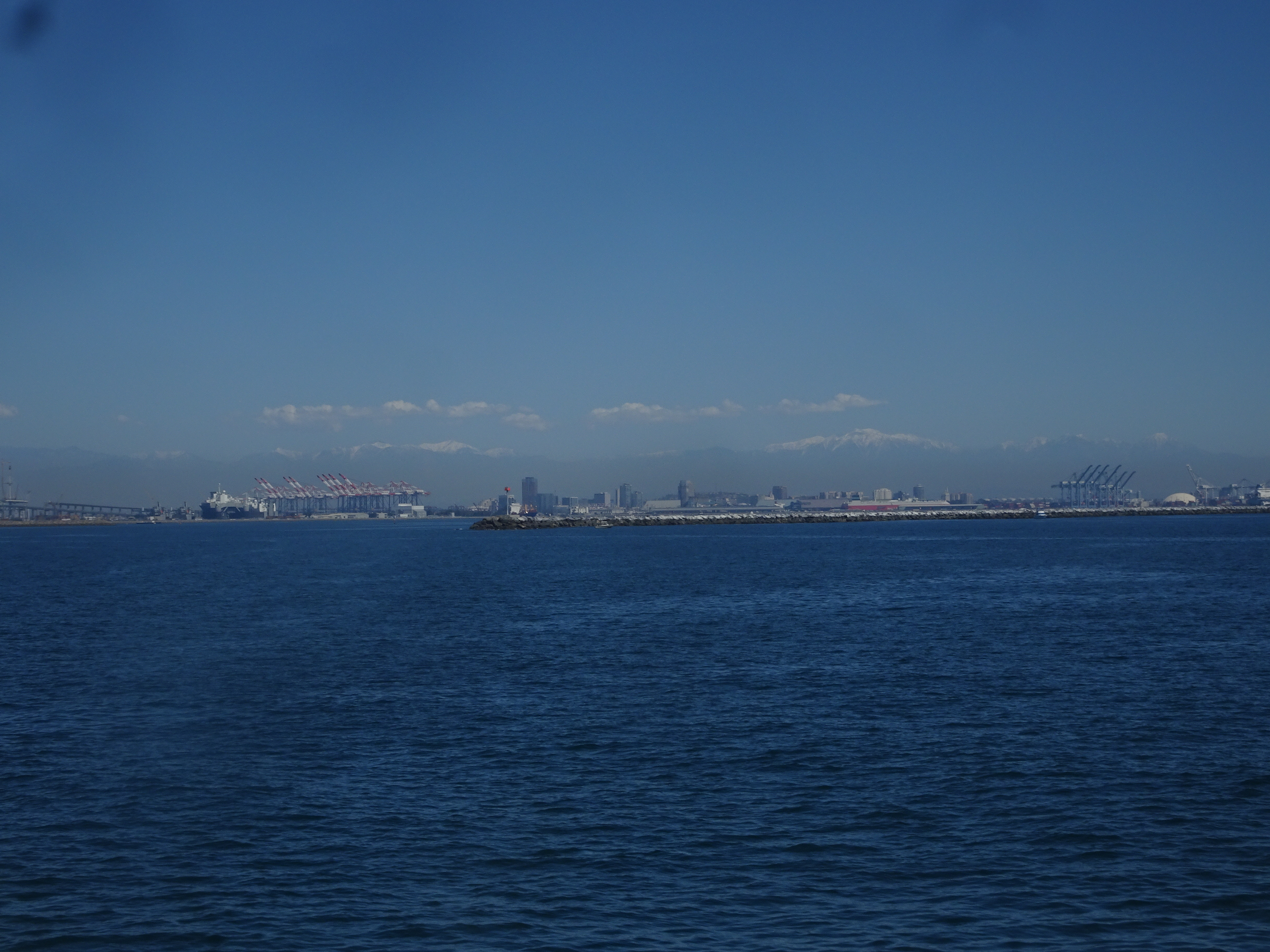
The reason the ferry was late was the thick, low-hanging fog out at sea. There had been some fog during the hike, but it was clear at the harbor. Looking across the ocean towards Los Angeles however, there was the bank of fog, above which it was clear. The snow capped mountain peaks beyond Los Angeles were still visible.
 |
 |
The ferry ride was uneventful, though very slow while immersed in fog, but sped up as the fog cleared and we approached the San Pedro dock. Once ashore we found Alan's car and followed the exit signs. Alan had saved his parking ticket and we were expecting to find a place to pay the parking fee ($18/day plus tax for the 8 days), but we were suddenly through the last gate onto public streets, no fee paid!
We drove to the Long Beach ferry where Bob's car was parked and found it easily, using Alan's GPS smart phone app. Bob and Alan then drove their cars to the hotel, Holiday Inn Suites on Atlantic Avenue (Bob did in fact have to pay his $133 parking fee - $19/day plus tax).
Having decided to eat an Indian dinner recommended by a guy Alan had met while hiking, and neither of us wanting to drive, Alan used his phone to get us an Uber driver, who showed up almost immediately and took us to the Kamal Palace - Bob had a shrimp dish, while Alan went for a combination plate. Good food, though a bit spicier than Bob liked while Alan requested an extra dish of hot sauce.
We then went for ice cream in honor of Alan's Mom who so enjoyed ice cream. We chose Cold Stone since Bob was looking for rum raisin flavor and Cold Stone showed it on their website. We got there, again using Uber, but they did not have rum raisin. So we walked to another ice cream shop nearby, but, alas, no rum raisin, so Bob ate chocolate. On the way we passed two girls (9 or 10 years old?) standing on a porch in front of a restaurant door who asked if we wanted to play a game. We agreed. The game was we touched one of their hands, then pulled a finger, then saw the message on the palm "High Five", and got/gave a high five. We offered to get them some ice cream and bring it back, but they said no.
Next was a walk out a long pier extending over Seal Beach, then back to catch another Uber back to the hotel.
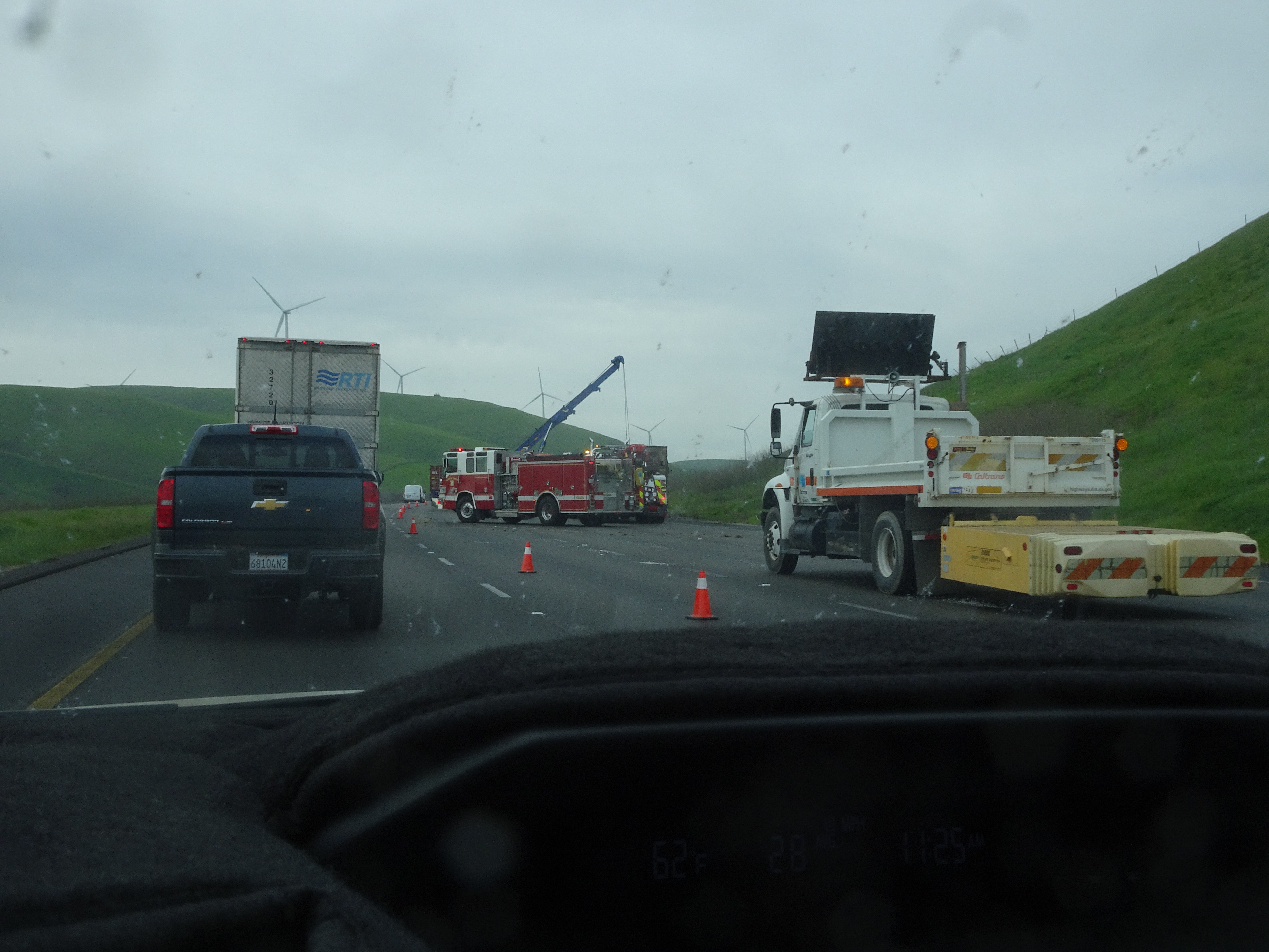
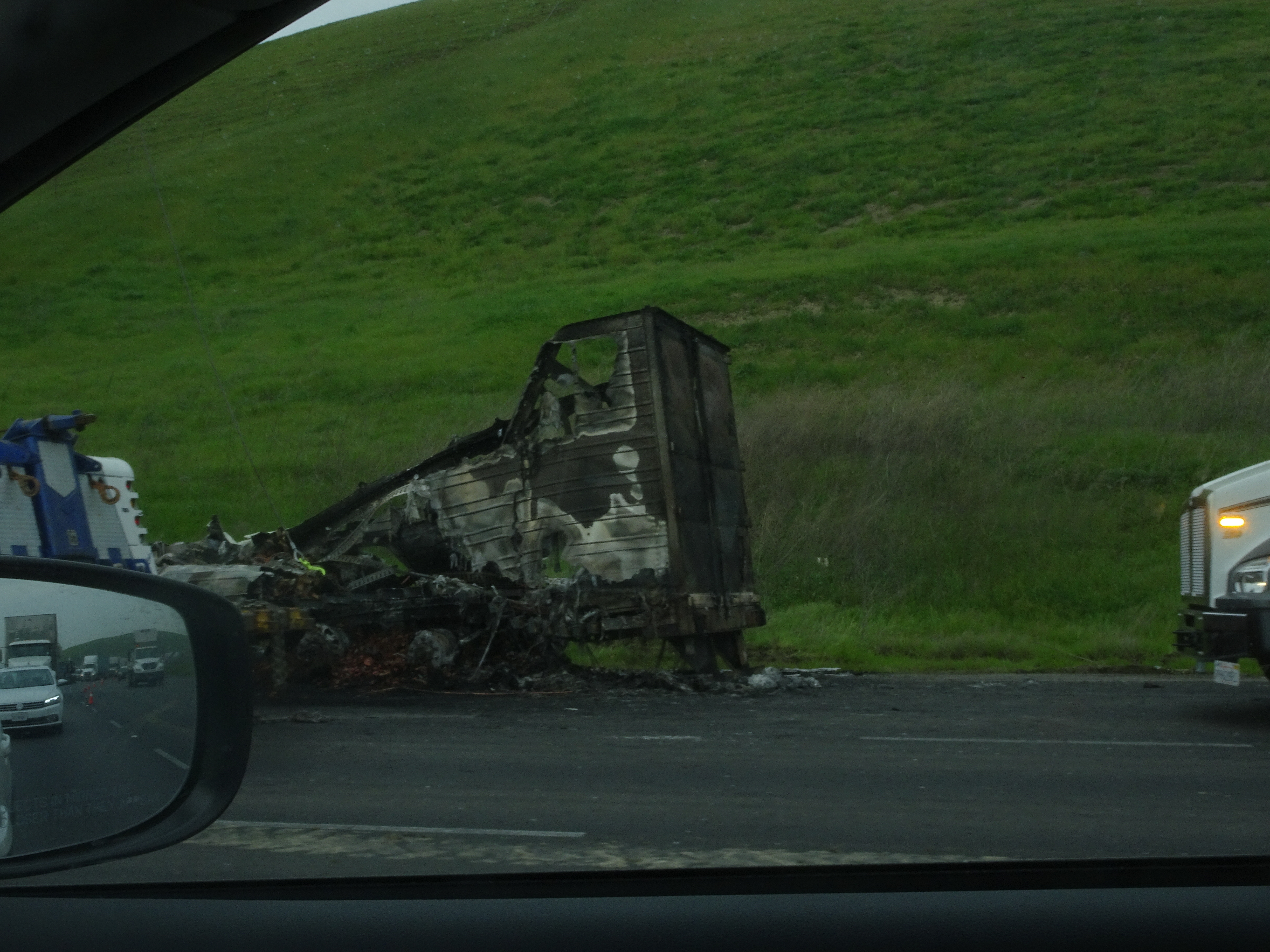
Bob got up at 3:45 AM and was on road by 4 AM. No traffic jams, light traffic, all the way north up Hwy 5 and onto Hwy 580 heading west on final leg of journey, except there was a crashed/burned truck on Hwy 580, so all 4 lanes in one direction were moving at less than 4 miles an hour. Lost about 1.5 to 2 hours before getting to wreck, then quickly got home by 1 pm.
 |
 |
 |
 |
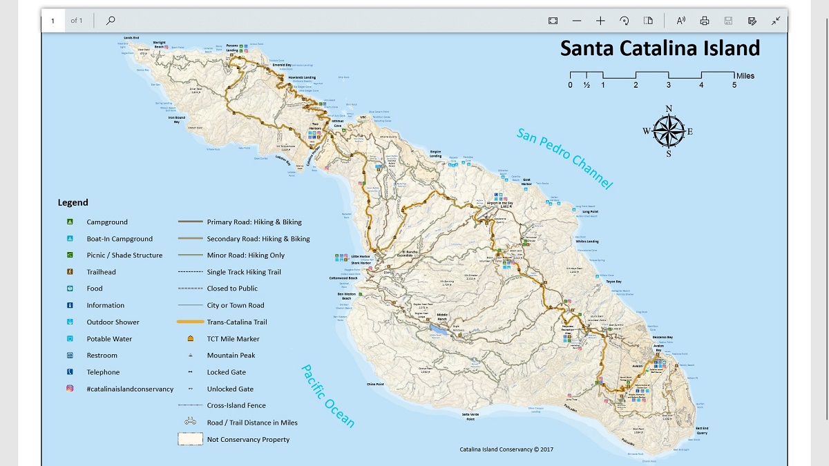
The map below shows the entire Catalina Trail. Click on map image to get a pdf version.
 |
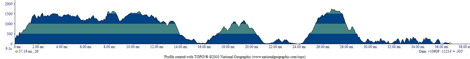
The elevation profile below shows in feet the elevations of the backpacking route (it does not show day hike elevations). The distances shown on the profile underestimates the actual trail distances. The profile does give a good idea of the climbing involved, however.
 |
Photos and narrative were contributed by both of us: Alan and Bob
Here are all of the adventures Alan and Bob have taken together
Other Websites
By Bob:
Bob Phillips [phillips bob 27 at yahoo dot com - no spaces]
Santa Rosa, CA
March, 2019